A multi-day cycling tour through Montenegro: 195 km of asphalt, coastal towns, fortresses, viewpoints and national parks.
EuroVelo 8 – Mediterranean Route – Montenegro Section is a cycling route 195.0 km long from Njivice to Sukobin. It runs on asphalt, has 3,259 m of ascent and passes through the coastal area, Lovćen National Park and Lake Skadar.
EuroVelo 8 – Mediterranean Route – Montenegro Section connects the border with Croatia near Njivice and the border with Albania near Sukobin. The route is 195.0 km long and the surface is 100% asphalt or concrete. The route is not circular, so the start and end are not at the same place.
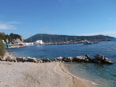
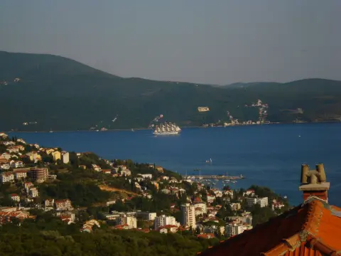
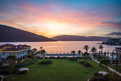
The route passes by Herceg Novi, the fortresses of Forte Mare and Španjola, and the beaches of Meljine and Dobrota. It then leads through Lovćen National Park and Lake Skadar. The highest point is at 1,123 m above sea level, and the lowest at 0 m above sea level.
Total ascent is 3,259 m and descent is 3,357 m. Along the route there are viewpoints, fountains, springs and the Sopot waterfall. The ride is very demanding and is recommended for experienced cyclists as a multi-day tour; duration without breaks is 15 h 10 min.
What this difficulty means
Very long, very steep or technical riding. For strong riders with good bike handling and self-sufficiency.
Move along the profile to follow the route on the map; switch on 3D for the terrain.
↑ 3,259 m · ↓ 3,357 m · highest point 1,123 m
Along the way
Photos and short clips from points along the route — tap one to open it.
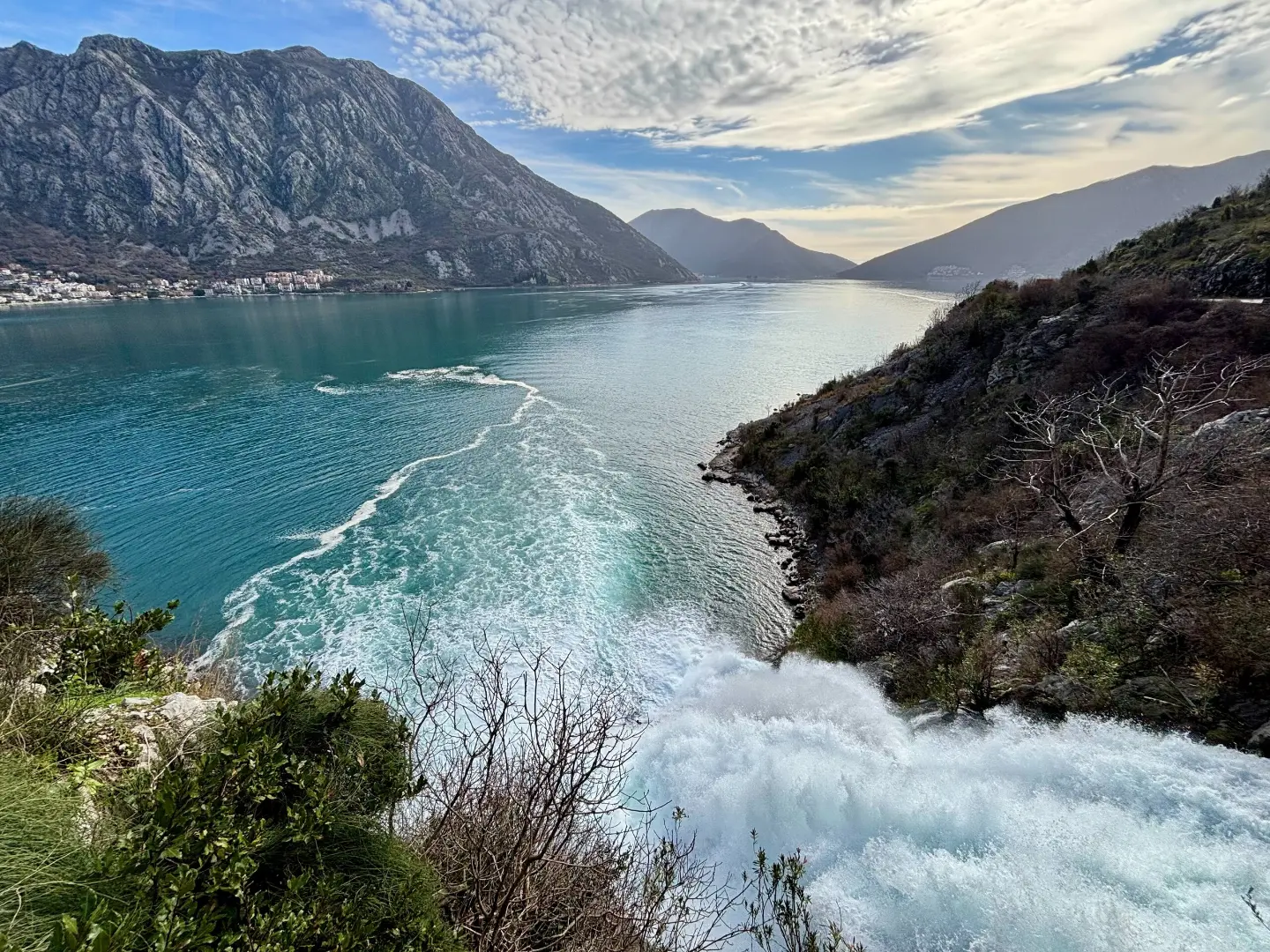
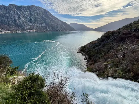
The waterfall is at 21 m above sea level, 35.3 km from the start of the route.
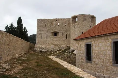
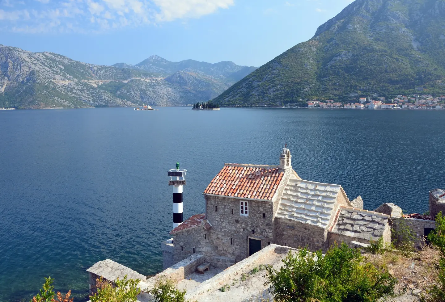
The route passes about 0.2 km from the fortress.
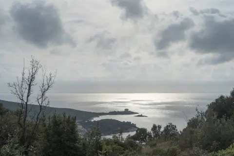
The route passes about 0.4 km from the fortress.
The route passes directly by the town.
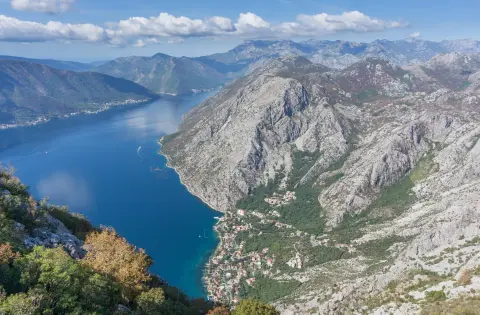
The route passes through Lovćen National Park and Lake Skadar.
Plan the tour as a multi-day trip: 195 km and 3,259 m of ascent are not recommended in a single day.
Bring enough water and food; fountains and springs exist along the route, but do not rely on them blindly.
Check the weather forecast, especially for the mountain sections up to 1,123 m above sea level.
Wear a helmet, carry a spare tube and lights; the route is mostly asphalt and is shared with motor traffic.
Set off early in the morning, especially in summer.
On the mountain sections up to 1,123 m above sea level, fog, thunderstorms and sudden weather changes are possible. Most of the route is asphalt shared with motor traffic, so make sure you are visible. The emergency number in Montenegro is 112.
Emergency number in Montenegro: 112.
Good to know
Best season
Due to the length and ascent, it is best to ride in spring or early autumn. At altitudes up to 1,123 m above sea level it can be hot in summer and cold or icy in winter.
Getting there
The start of the route is at the Croatian–Montenegrin border near Njivice. The nearest place to the start is Rose, Luštica, about 3.1 km from the start of the route.
The route is 195.0 km long, from the Croatian–Montenegrin border near Njivice to the Montenegrin–Albanian border near Sukobin.
The estimated duration without breaks is 15 h 10 min; the tour is multi-day.
It is rated as very demanding and intended for experienced cyclists.
The trail is marked with blue color, a yellow circle, and the white number 8.
5.1 km↑ 16 m1½–2 h
7.1 km↑ 128 m2–2½ h
88.4 km↑ 4,606 m4–6 days
2.5 km↑ 145 m45–65 min
3.8 km↑ 44 m55–80 min

406 km↑ 10,191 m6–8 days
4.6 km↑ 18 m65–90 min
14.8 km↑ 1,468 m7–10 h
Times and grades are estimates. Conditions change: check the weather and local information before you set out.

Ask about Montenegro
Ask me about destinations, restaurants or activities.