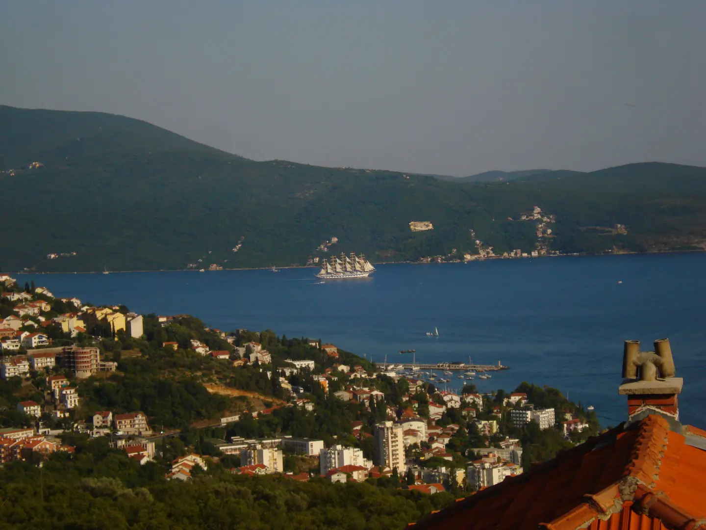
A short, easy walk along a forest and asphalt trail above Herceg Novi, with a spring at 263 m a.s.l.
The Health Trail above Herceg Novi runs from Lukovik to Mijalj brdo over a distance of 2.5 km. It is easy, with 145 m of ascent and 70 m of descent, and the estimated walking time without breaks is 55 minutes.
The Health Trail above Herceg Novi connects Lukovik and Mijalj brdo over a distance of 2.5 km. It is not a loop, so the start and end are not at the same point. The lowest point is at 184 m above sea level, and the highest at 282 m. Total ascent is 145 m, and total descent is 70 m. The estimated walking time without breaks is 55 minutes.
The surface consists of 58% dirt/forest trail and 42% asphalt/concrete. At 2.1 km from the start, there is a spring at 263 m above sea level. The trail difficulty is easy and is intended for a leisurely walk.
The trailhead is approximately 1.1 km from Tvrđava Španjola. Nearby are also Herceg Novi (approximately 1.5 km), Tvrđava Forte Mare, and Tvrđava Kanli Kula (approximately 1.6 km). Due to its short length and gentle ascent, it is suitable for recreational walkers and families.
What this difficulty means
Well-made paths with gentle gradients. Fine for families and anyone used to walking a few hours.
Move along the profile to follow the route on the map; switch on 3D for the terrain.
↑ 145 m · ↓ 70 m · highest point 282 m
At 2.1 km from the start, the trail passes by a spring at 263 metres above sea level.
The trailhead is approximately 1.1 km from Tvrđava Španjola.
The town of Herceg Novi is approximately 1.5 km from the trail, and Tvrđava Forte Mare and Tvrđava Kanli Kula are also nearby.
Wear light but sturdy footwear; the trail has dirt and forest sections.
Bring enough water even though there is a spring at 2.1 km.
Since the trail is not a loop, plan your return to the starting point in advance.
Check the weather forecast before setting off.
The trail is easy, but on dirt and forest sections it can be slippery after rain. Wear appropriate footwear and check the weather conditions before setting off. In case of an emergency in Montenegro, call 112.
Emergency number in Montenegro: 112.
Good to know
Best season
The best months for this trail are January, February, March, April, May, June, September, October, November, and December.
Getting there
The closest landmark to the trailhead is Tvrđava Španjola, located approximately 1.1 km away.
It is 2.5 km long and runs in one direction, so the start and end are not at the same point.
The estimated duration without breaks is 55 minutes.
On our scale it is easy, with a total ascent of 145 m and a descent of 70 m.
According to the data, the best months are January, February, March, April, May, June, September, October, November and December.
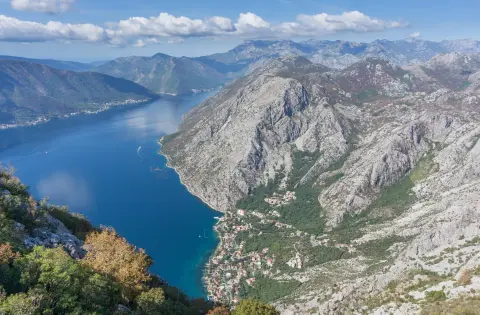
88.4 km↑ 4,606 m4–6 days

195 km↑ 3,259 m2–3 days
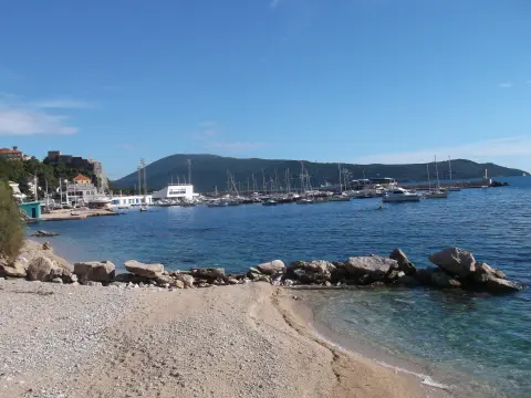
7.1 km↑ 128 m2–2½ h

406 km↑ 10,191 m6–8 days
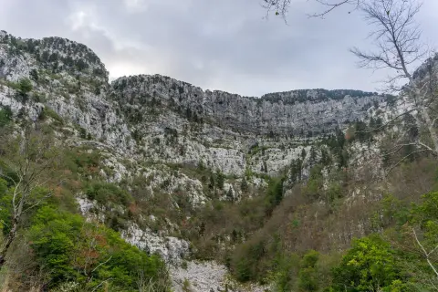
14.8 km↑ 1,468 m7–10 h
0.5 km↑ 135 m25–35 min
1.1 km40–55 min
5.1 km↑ 16 m1½–2 h
Times and grades are estimates. Conditions change: check the weather and local information before you set out.

Ask about Montenegro
Ask me about destinations, restaurants or activities.
