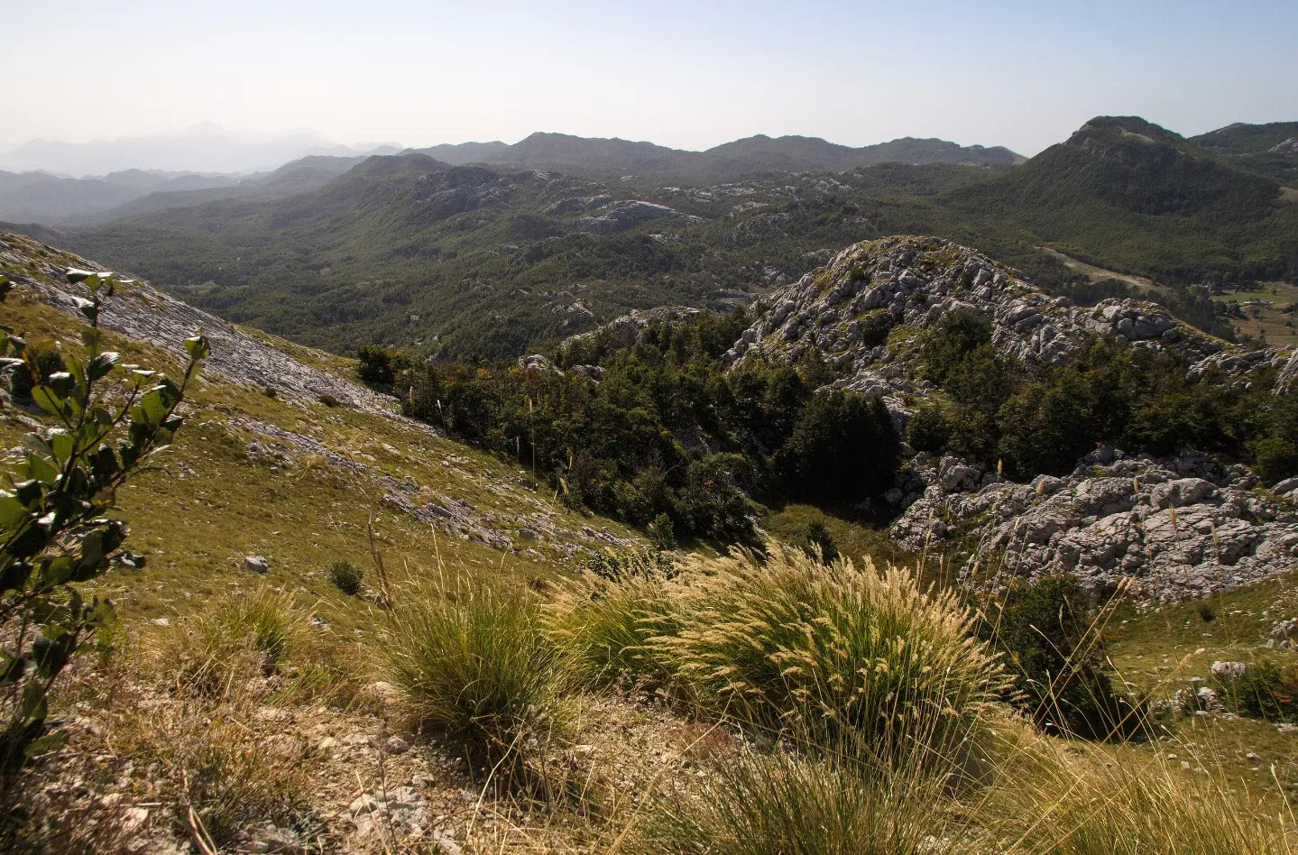
Moderate one-way trail of 10.1 km with viewpoints, a spring, and a drinking fountain.
A hiking trail in Lovćen National Park, 10.1 km long, taking approximately 3 h 40 min without breaks. It crosses mixed terrain, with a total ascent of 265 m and a descent of 688 m.
The trail is a hiking/walking route in Lovćen National Park. It is 10.1 km long and runs in one direction. Total ascent is 265 m and total descent is 688 m. The highest point of the trail is at 1,590 m a.s.l. and the lowest at 933 m a.s.l. Estimated duration without breaks is approximately 3 h 40 min.
The surface is mixed: asphalt/concrete 38%, gravel road 36%, and dirt/forest trail 27%. In the initial section of the trail, viewpoints are recorded at 1.0 km and 3.0 km from the start. At 1.5 km from the start there is a spring at 1,440 m a.s.l., and at 2.9 km the summit "Jezerski" is noted as a point of interest at 1,657 m a.s.l.
Further along, the trail passes viewpoints at 4.4 km (1,380 m a.s.l.) and 4.6 km (1,347 m a.s.l.). In the final section, at 9.8 km from the start, there is a drinking fountain/water point "Pištet" at 965 m a.s.l.
Nearby the trail are Kotor (approximately 5.3 km), Dobrota Beach (approximately 5.8 km), and Cetinje Monastery (approximately 6.3 km). The trail is marked and of moderate difficulty.
What this difficulty means
Longer or steeper sections and uneven ground. You need basic fitness, sturdy shoes and a little mountain experience.
Move along the profile to follow the route on the map; switch on 3D for the terrain.
↑ 265 m · ↓ 688 m · highest point 1,590 m
Along the way
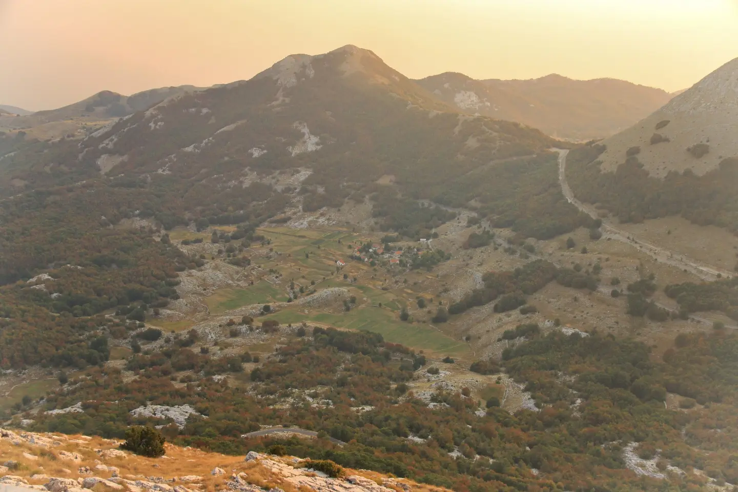
Located 1.0 km from the start of the trail.
Point of interest at 2.0 km from the start, at 1,513 m a.s.l.
Point of interest at 2.9 km from the start, at 1,657 m a.s.l.
Recorded at 3.0 km from the start of the trail.
Drinking water at 965 m a.s.l., 9.8 km from the start of the trail.
Carry enough water; a spring at 1.5 km and the drinking fountain "Pištet" at 9.8 km from the start are available on the trail.
Dress in layers and bring a windbreaker – the trail reaches 1,590 m a.s.l.
Wear hiking footwear as part of the trail is a dirt/forest path and the descent is 688 m.
Since the trail is one-way, arrange transport or a return journey in advance.
Check the weather forecast; in mountain conditions, fog and thunderstorms can appear quickly.
In mountain conditions on Lovćen, fog, strong winds, and thunderstorms are possible. Follow the trail markings and do not leave the trail. In case of an emergency, call 112.
Emergency number in Montenegro: 112.
Good to know
Best season
Due to the altitude ranging between 933 and 1,590 m, the trail is most reliable from late spring to early autumn. In winter and early spring, the higher sections may have snow and ice.
Getting there
The trailhead is approximately 5.1 km from the Fortress of Saint Ivan. The trail is located in Lovćen National Park.
The trail is 10.1 km long and runs in one direction.
The estimated duration without breaks is approximately 3 h 40 min.
The trail is of moderate difficulty. The total ascent is 265 m, and the total descent is 688 m.
The trail is located in Lovćen National Park. The closest place to the start of the trail is Tvrđava Svetog Ivana, approximately 5.1 km away.
88.4 km↑ 4,606 m4–6 days
17.3 km↑ 578 m5–7 h

406 km↑ 10,191 m6–8 days
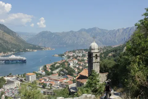
16.1 km↑ 1,418 m6–8 h
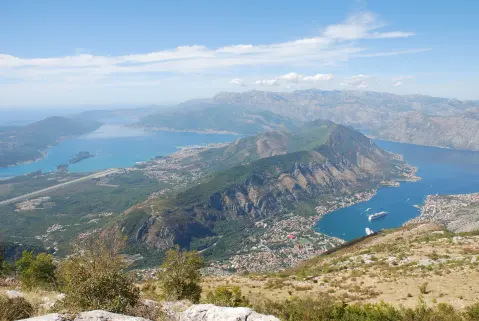
34.3 km↑ 1,738 m2–3 days
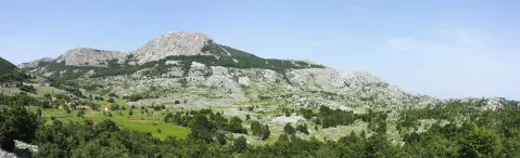
7.7 km↑ 244 m2–3 h
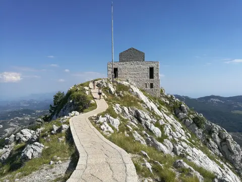
2.8 km↑ 350 m1½–2 h
6.1 km↑ 156 m1½–2½ h
Times and grades are estimates. Conditions change: check the weather and local information before you set out.

Ask about Montenegro
Ask me about destinations, restaurants or activities.
