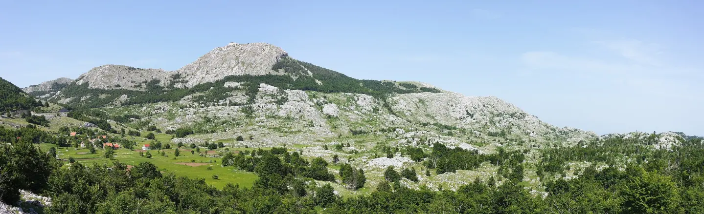
A moderate hiking tour through Lovćen National Park, with a spring and a church at the start of the trail.
A hiking trail in Lovćen National Park: 7.7 km one way, with 244 m of ascent and approximately 2 h 30 min of walking without breaks. Starts at the "Ivanova korita" spring and leads to Kuk.
The trail begins at the "Ivanova korita" spring at 1,234 m a.s.l., inside Lovćen National Park. After 1.0 km you reach the church/monastery "St. Transfiguration" at 1,257 m a.s.l. The route continues towards Velji Bostur and on to Kuk.
The trail is one way, 7.7 km long. Total ascent is 244 m and total descent is 153 m. The lowest point of the trail is at 1,233 m a.s.l. and the highest at 1,420 m a.s.l. Walking without breaks takes approximately 2 h 30 min.
In terms of surface, dirt/forest path is the most common at 61%. This is followed by asphalt/concrete at 19%, rocky terrain at 12%, and gravel road at 7%. The trail is waymarked and of moderate difficulty.
Suitable for hikers with basic experience who want a moderate hiking tour in Lovćen National Park.
What this difficulty means
Longer or steeper sections and uneven ground. You need basic fitness, sturdy shoes and a little mountain experience.
Move along the profile to follow the route on the map; switch on 3D for the terrain.
↑ 244 m · ↓ 153 m · highest point 1,420 m
Along the way
At the very start of the trail, at 1,234 m a.s.l.
1.0 km from the start, at 1,257 m a.s.l.
The trail is located within the protected area of Lovćen National Park.
Bring enough water; the trail runs through mountain terrain.
Wear shoes with a good sole due to the rocky and dirt sections.
Bring layered clothing; at 1,233–1,420 m a.s.l. it can be cool.
Set out early in the morning, especially in the warmer months.
Check the weather forecast before departure.
Respect the rules of Lovćen National Park.
In mountain conditions the weather can change quickly. In case of fog or thunderstorms, do not continue your ascent. In an emergency, call 112.
Emergency number in Montenegro: 112.
Good to know
Best season
The best months are May, June, July, August, September, and October. At this altitude it can be cool in the morning even in summer.
Getting there
The trailhead is at the "Ivanova korita" spring. The nearest place to the trailhead is Cetinje Monastery, approximately 6.8 km away.
The trail is 7.7 km long and runs one way.
Walking without breaks takes approximately 2 h 30 min.
The difficulty is moderate; the total ascent is 244 m, and the descent is 153 m.
The best months are May, June, July, August, September and October. The trail is marked.
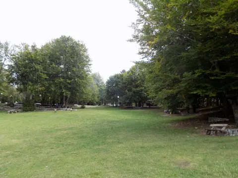
Hiking · Cetinje Monastery · Lovćen National Park
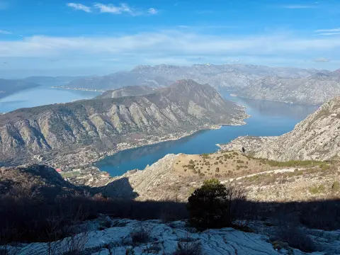
Cycling · Španjola Fortress · Durmitor National Park
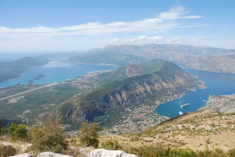
Hiking · Cetinje Monastery · Lovćen National Park
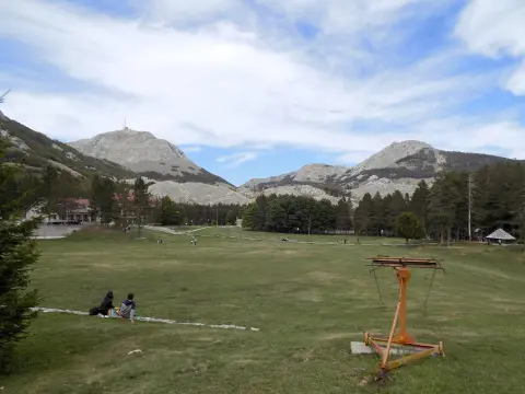
Hiking · Cetinje Monastery · Lovćen National Park
Hiking · Cetinje Monastery · Lovćen National Park
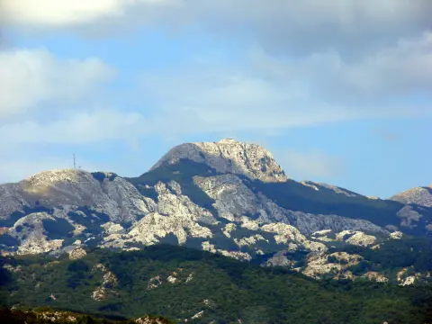
Hiking · St. John's Fortress · Lovćen National Park
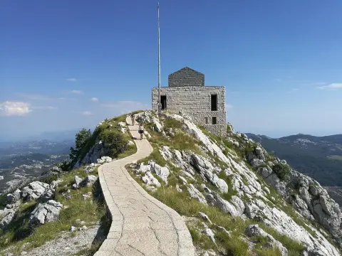
Hiking · St. John's Fortress · Lovćen National Park
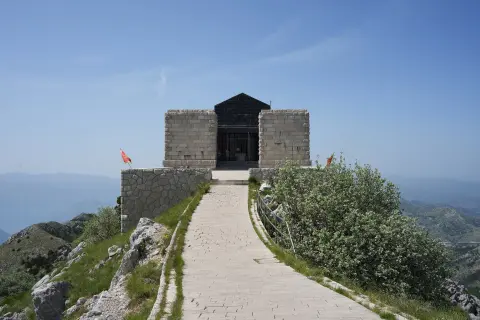
Hiking · St. John's Fortress · Lovćen National Park
Times and grades are estimates. Conditions change: check the weather and local information before you set out. Map and data sources →

