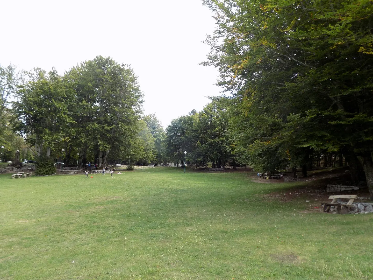
A demanding 16.5 km hiking trail with the Ivanova korita spring and a drinking fountain along the route.
A demanding one-way hiking trail through Lovćen National Park, 16.5 km long, with a total ascent of 692 m and a duration of approximately 5 h 30 min.
The trail begins near Cetinje Monastery and passes through Lovćen National Park. It is a one-way route, 16.5 km long, with a total ascent of 692 m and a descent of 180 m. The lowest point is at 713 m a.s.l. and the highest at 1337 m a.s.l. The trail is marked.
The terrain consists mostly of asphalt or concrete (65 %) and gravel road (32 %). At 10.7 km from the start, the Ivanova korita spring is located at 1234 m a.s.l., and near the end of the trail, at 16.4 km, a drinking fountain is found at 1221 m a.s.l.
Due to its length, ascent and terrain, the trail is rated as demanding. The estimated walking time without breaks is 5 h 30 min. It is recommended for hikers with good fitness and proper hiking footwear.
What this difficulty means
Steep, rocky or exposed passages and a long day out. For fit, sure-footed hikers with mountain experience.
Move along the profile to follow the route on the map; switch on 3D for the terrain.
↑ 692 m · ↓ 180 m · highest point 1,337 m
Along the way
The trail passes through Lovćen National Park.
Located approximately 1.7 km from the start of the trail.
At 10.7 km from the start, at 1234 m a.s.l.
At 16.4 km from the start, at 1221 m a.s.l.
Bring enough water even though there is a spring and a drinking fountain along the trail.
Set off early in the morning as the estimated duration is 5 h 30 min without breaks.
Wear comfortable hiking footwear due to the length and ascent.
Check the weather forecast before departure; conditions can be changeable on the higher sections.
Bring layered clothing, sun protection and a rain jacket.
Mountain terrain can bring rapid weather changes, fog or thunderstorms. Adjust your pace and follow the trail markings. In case of an emergency, call 112.
Emergency number in Montenegro: 112.
Good to know
Best season
The best period is from late spring to early autumn. In winter, snow and ice may be present on the higher sections.
Getting there
The start of the trail is approximately 1.7 km from Cetinje Monastery, and the nearest settlement along the trail is Cetinje, about 1.6 km away.
The trail is 16.5 km long and follows a one-way route.
The estimated duration without breaks is 5 h 30 min.
On our scale it is rated as demanding, with a total ascent of 692 m and a descent of 180 m.
At 10.7 km there is the Ivanova korita spring, and at 16.4 km a fountain with drinking water; still, bring enough water.

406 km↑ 10,191 m6–8 days
34.3 km↑ 1,738 m2–3 days
19.7 km↑ 216 m5–7½ h

195 km↑ 3,259 m2–3 days
0.5 km10–10 min
3.5 km55–80 min
1.8 km↑ 266 m55–80 min
6.1 km↑ 156 m1½–2½ h
Times and grades are estimates. Conditions change: check the weather and local information before you set out.

Ask about Montenegro
Ask me about destinations, restaurants or activities.
