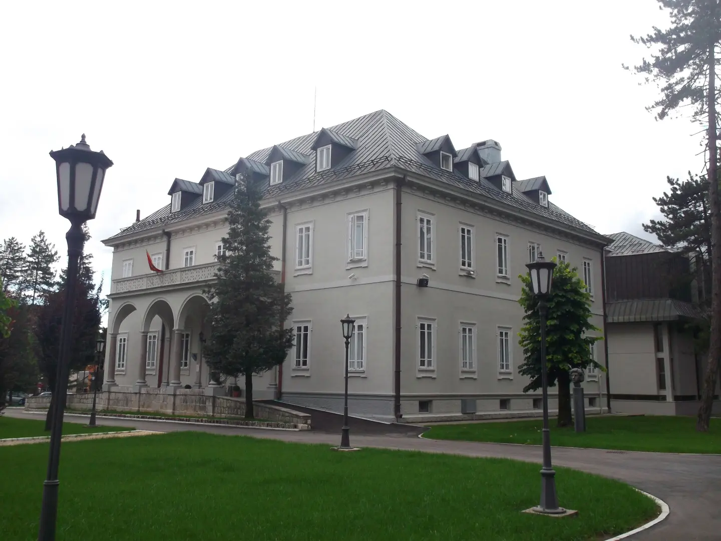
A short and easy paved walk near Cetinje Monastery and Cetinje.
A short hiking trail 0.5 km long near Cetinje Monastery and Cetinje. With an elevation gain of 5 m and a surface that is 100% asphalt/concrete, it can be completed in about 10 minutes.
This is a short and easy hiking trail near Cetinje Monastery and Cetinje. It is 0.5 km long and takes about 10 minutes to complete without breaks. The trail is one-way, so the start and end are not at the same place.
The surface is 100% asphalt/concrete, making walking simple and suitable for families, older visitors, and anyone looking for a short stroll. Due to the minimal elevation change, the terrain is almost flat. The total ascent is 5 m, and there is no descent. The lowest point is at 663 m above sea level, the highest at 673 m above sea level.
Along the trail you will find Cetinje Monastery and Cetinje, so the walk can easily be combined with a visit to these attractions. Due to the very short distance, the trail does not require any special hiking equipment and is suitable for a leisurely stroll. It is ideal for a brief rest and time spent outdoors.
What this difficulty means
Well-made paths with gentle gradients. Fine for families and anyone used to walking a few hours.
Places on this route
Move along the profile to follow the route on the map; switch on 3D for the terrain.
↑ 5 m · ↓ 0 m · highest point 673 m
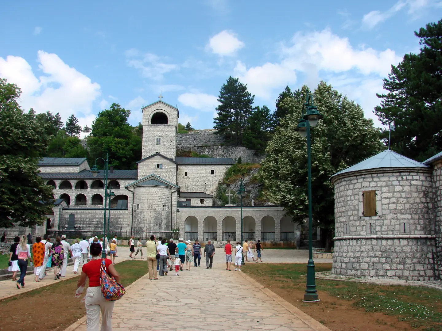
About 0.9 km from the start of the trail; suitable for a visit.
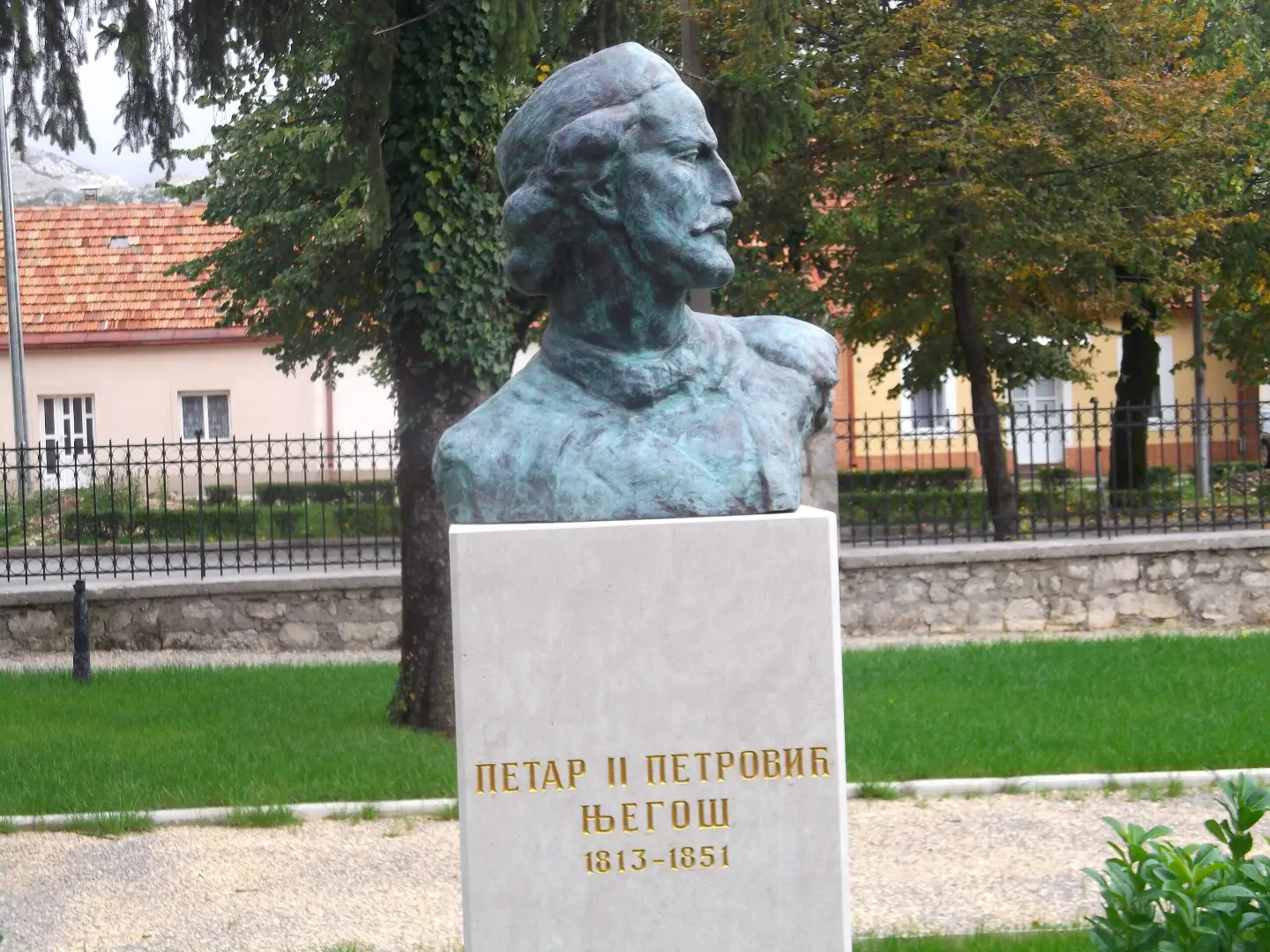
About 0.9 km from the trail; easily accessible for a short break or a longer visit.
Length 0.5 km, completed in about 10 minutes without breaks.
Bring enough water, even though the trail is short.
Wear comfortable footwear due to the hard asphalt surface.
Protect yourself from the sun during the summer months.
Check the weather forecast before setting out.
The trail is short, making it suitable for a family walk.
The trail is short and easy, but in the event of bad weather, fog, or thunder, stop moving. In emergencies, call 112.
Emergency number in Montenegro: 112.
Good to know
Best season
Due to the low elevation (663–673 m), the trail is passable throughout the entire year. The most pleasant time is spring and autumn, and in summer early in the morning or later in the afternoon.
Getting there
The start of the trail is located about 0.9 km from Cetinje Monastery, near Cetinje.
The trail is 0.5 km long.
About 10 minutes of walking without breaks.
The trail is easy; the surface is 100% asphalt/concrete, the ascent is 5 m, and there is no descent.
The start of the trail is about 0.9 km from the Cetinje Monastery, near Cetinje.

406 km↑ 10,191 m6–8 days
34.3 km↑ 1,738 m2–3 days

195 km↑ 3,259 m2–3 days
3.5 km55–80 min
16.5 km↑ 692 m4½–6½ h
19.7 km↑ 216 m5–7½ h
1.8 km↑ 266 m55–80 min
6.1 km↑ 156 m1½–2½ h
Times and grades are estimates. Conditions change: check the weather and local information before you set out.

Ask about Montenegro
Ask me about destinations, restaurants or activities.
