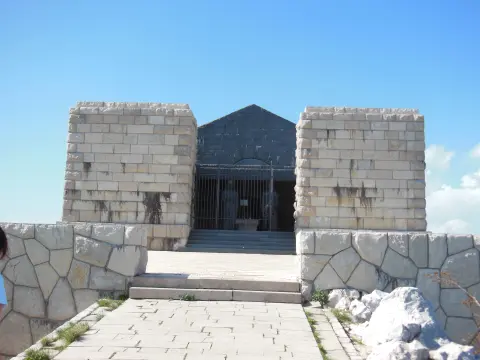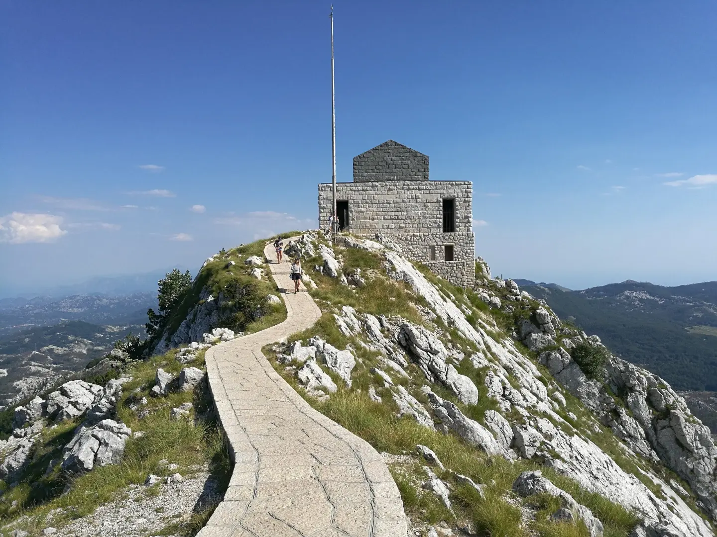
A short hiking tour with a 350 m ascent to the Jezerski Vrh viewpoint, through Lovćen National Park.
The 2.8 km trail leads through Lovćen National Park, from 1,284 m to 1,641 m above sea level. It takes about 1 h 30 min to walk without breaks, with a 350 m ascent and several viewpoints and springs.
This hiking tour is 2.8 km long and leads through Lovćen National Park. It starts at 1,284 m above sea level and climbs to the highest point of 1,641 m above sea level, with a total ascent of 350 m and only 6 m of descent. The trail is one-way, of moderate difficulty (SAC T2), and walking without breaks takes about 1 h 30 min.
The surface is mixed: rocky terrain makes up 53%, dirt and forest trail 27%, and asphalt/concrete 20%. Along the way you pass Cistern Spring (1,294 m above sea level, at 0.8 km), Jama Spring (1,424 m above sea level, at 1.6 km), and a spring at 1,440 m above sea level (at 1.7 km). In the final section there are several viewpoints: at 1,607 m above sea level (2.5 km), 1,629 m above sea level (2.6 km), and Jezerski Vrh at 1,626 m above sea level (2.8 km). Near the trail is also Jezerski Peak at 1,657 m above sea level (2.7 km from the start).
The trail is scenic and challenging enough for hikers with basic fitness. Bring suitable footwear because of the rocky terrain and check the weather conditions before setting off.
What this difficulty means
Longer or steeper sections and uneven ground. You need basic fitness, sturdy shoes and a little mountain experience.
Mountain hiking grade SAC T2 (scale T1–T6).
Move along the profile to follow the route on the map; switch on 3D for the terrain.
↑ 350 m · ↓ 6 m · highest point 1,641 m
Along the way
Photos and short clips from points along the route — tap one to open it.
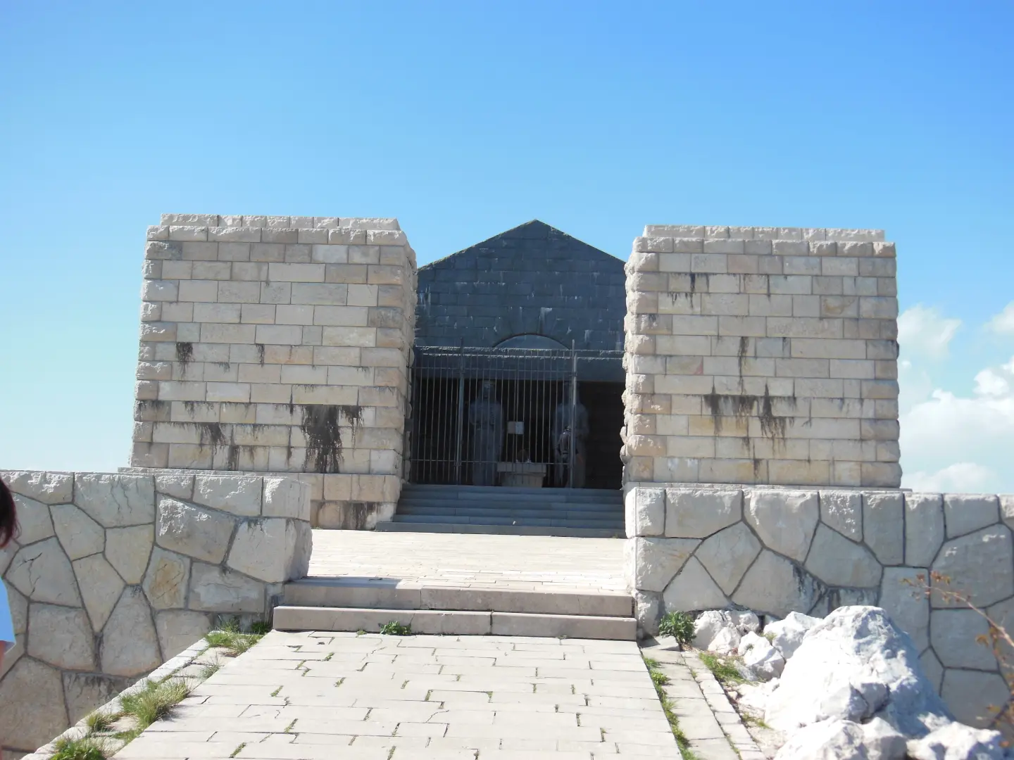
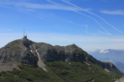
At 2.8 km from the trailhead, at 1,626 m above sea level.
At 0.8 km from the trailhead, at 1,294 m above sea level.
At 1.6 km from the trailhead, at 1,424 m above sea level.
Near the trail, 2.7 km from the start, at 1,657 m above sea level.
2.5 km from the trailhead.
Wear hiking boots with a good sole; more than half of the trail is rocky.
Bring enough water, although there are springs along the trail.
Before setting off, check the weather forecast; above 1,600 m the weather changes quickly.
In the summer months, start earlier and bring sun protection.
Respect the rules of Lovćen National Park and do not leave litter.
The trail is a mountain trail and partly rocky — in wet weather it can be slippery. At altitudes above 1,600 m conditions change quickly, so bring layered clothing and check the forecast. In case of an accident, call 112.
Emergency number in Montenegro: 112.
Good to know
Best season
The best period is from late spring to early autumn. In winter, there may be snow and ice on higher sections.
Getting there
The trail is located in Lovćen National Park. The nearest place to the trailhead is St. John's Fortress, about 5.7 km away, and parking is 2.5 km from the trailhead.
The trail is 2.8 km long. It takes about 1 h 30 min to walk without breaks.
The total ascent is 350 m, and the total descent is 6 m. The highest point is at 1,641 m above sea level, and the lowest at 1,284 m above sea level.
According to our scale, the difficulty is moderate, and according to the SAC hiking scale T2. The terrain is rocky, dirt/forest and partially asphalt/concrete.
No, the trail is one-way; the start and end are not at the same place.

7.7 km↑ 244 m2–3 h

406 km↑ 10,191 m6–8 days
88.4 km↑ 4,606 m4–6 days
17.3 km↑ 578 m5–7 h
16.1 km↑ 1,418 m6–8 h
34.3 km↑ 1,738 m2–3 days
10.1 km↑ 265 m3–4½ h
16.5 km↑ 692 m4½–6½ h
Times and grades are estimates. Conditions change: check the weather and local information before you set out.

Ask about Montenegro
Ask me about destinations, restaurants or activities.