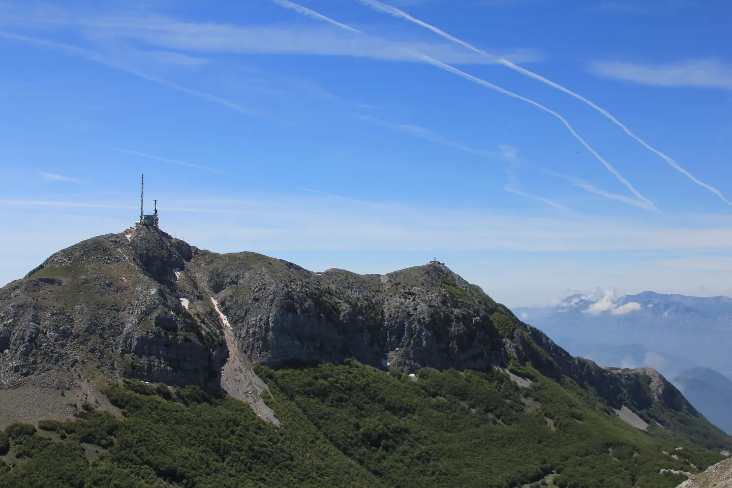
A demanding one-way tour of 17.3 km with viewpoints, a spring, and an ascent of 578 m.
A demanding hiking tour in Lovćen National Park. Length 17.3 km, ascent 578 m, descent 599 m; estimated walking time without breaks 5 h 55 min. The trail offers numerous viewpoints, passes by a spring and the Krstac pass.
The trail begins near a parking area (0.2 km from the start) and leads through Lovćen National Park. The first viewpoint is at 0.4 km (1040 m a.s.l.), and at 3.2 km there is a spring (1358 m a.s.l.) and a drinking fountain (1354 m a.s.l.). The trail then climbs through a series of viewpoints: at 7.2 km (1309 m a.s.l.), 7.7 km (1276 m a.s.l.), 8.0 km (1246 m a.s.l.) and 8.3 km, where the View Point On Kotor viewpoint is located (1191 m a.s.l.). At 9.5 km there is a viewpoint at 1131 m a.s.l., and at 10.5 km the summit of Lučića Grm (1154 m a.s.l.).
Afterwards the trail crosses the Krstac pass (937 m a.s.l., at 12.7 km) and continues towards the final viewpoint at 16.3 km (956 m a.s.l.). The highest point of the tour is 1420 m a.s.l. and the lowest is 927 m a.s.l. The surface is mixed: 44% asphalt/concrete, 36% dirt/forest trail and 20% gravel road.
The tour is one-way and rated as demanding. The estimated walking time without breaks is 5 h 55 min. Due to the length, ascent and descent (578 m ascent, 599 m descent), it is recommended for hikers with good physical fitness. The trail is marked.
What this difficulty means
Steep, rocky or exposed passages and a long day out. For fit, sure-footed hikers with mountain experience.
Move along the profile to follow the route on the map; switch on 3D for the terrain.
↑ 578 m · ↓ 599 m · highest point 1,420 m
Along the way
At 8.3 km from the start, at 1191 m a.s.l., it offers a view towards Kotor.
At 10.5 km from the start, at 1154 m a.s.l., one of the highlights of the tour.
At 3.2 km from the start there is a spring (1358 m a.s.l.) and a drinking fountain (1354 m a.s.l.).
At 12.7 km from the start, at 937 m a.s.l., a crossing point after which the trail continues towards the end.
Several viewpoints along the route: at 0.4 km, 7.2 km, 7.7 km, 8.0 km, 9.5 km and 16.3 km.
Wear hiking boots with good soles; the trail has asphalt, gravel and dirt sections.
Bring enough water; there is a spring and a drinking fountain at 3.2 km, but you should have water before that point as well.
Start early in the morning; the estimated walking time without breaks is 5 h 55 min, and with breaks the tour takes most of the day.
Check the weather forecast; there may be fog and wind at the viewpoints.
Bring an extra layer of clothing; the altitude goes up to 1420 m, so temperatures can be lower.
Due to the one-way nature of the route, arrange your return transport in advance.
This is a mountain trail at 927–1420 m a.s.l.; be prepared for changeable conditions. Avoid thunderstorms and follow the trail markings in fog. In case of an emergency, call 112.
Emergency number in Montenegro: 112.
Good to know
Best season
The most favourable period is from late spring to early autumn. In winter and early spring there may be snow and ice on the higher sections.
Getting there
The closest parking to the start of the trail is 0.2 km away. The closest landmark to the start is Tvrđava Svetog Ivana (approx. 2.3 km), and the trail passes near Dobrete (approx. 1.8 km) and Kotor (approx. 2.2 km).
The length of the trail is 17.3 km. The trail is one-way.
The estimated walking time without breaks is 5 h 55 min. With breaks, more time should be planned.
It is rated as demanding. The total ascent is 578 m, and the total descent is 599 m.
In Lovćen National Park, near Kotor and Dobreta. The closest landmark to the start is the Fortress of Saint Ivan, about 2.3 km from the starting point.
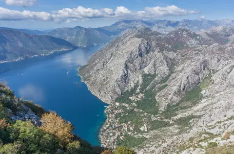
88.4 km↑ 4,606 m4–6 days

406 km↑ 10,191 m6–8 days
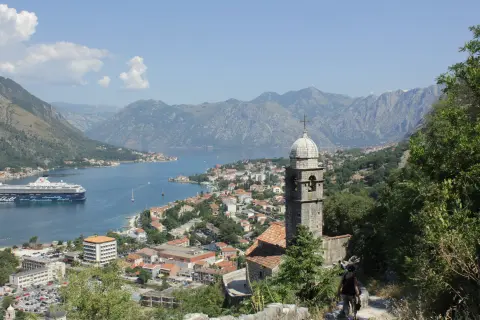
16.1 km↑ 1,418 m6–8 h
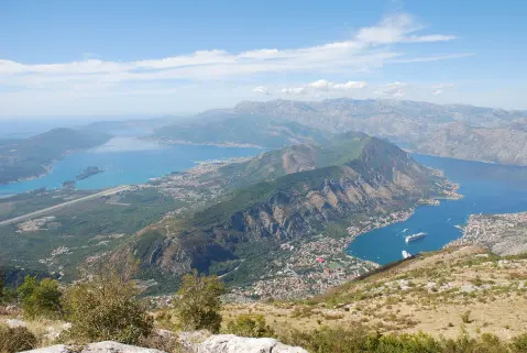
34.3 km↑ 1,738 m2–3 days

195 km↑ 3,259 m2–3 days
4.8 km↑ 1,074 m4–5½ h
1.4 km↑ 93 m30–40 min
3.5 km↑ 50 m50–70 min
Times and grades are estimates. Conditions change: check the weather and local information before you set out.

Ask about Montenegro
Ask me about destinations, restaurants or activities.
