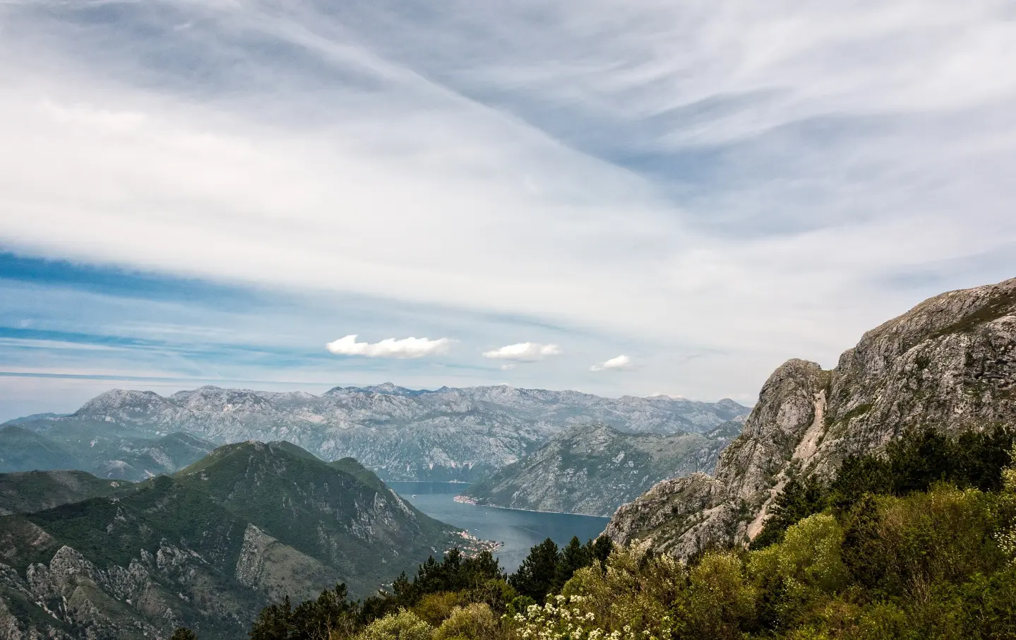
Short marked forest trail from the Pestingrad viewpoint, past Murikova Cave, with 93 m of ascent.
Short one-way hiking trail in the surroundings of Kotor. The length is 1.4 km, with 93 m of ascent, and the trail is marked with red-and-white markers.
The trail begins at the Pestingrad viewpoint at 955 m a.s.l. It follows an earth-and-forest surface and within the first 0.8 km reaches Murikova Cave at 1001 m a.s.l. After the cave, it continues to the highest point at 1027 m a.s.l. and then gently descends to the end. Total ascent is 93 m and descent is 44 m.
The trail is marked with red-and-white markers and is not circular. The length is 1.4 km, and the estimated walking time without breaks is 35 minutes. Difficulty on the SAC scale is T2. Nearby are Kotor (about 1.5 km), Fortress of Saint John (about 1.3 km from the start), and Dobrota Beach (about 1.4 km).
The tour is short and of moderate difficulty. It is suitable for hikers and trekkers with basic experience. At the start there is a viewpoint, and alongside the trail there is a cave.
What this difficulty means
Longer or steeper sections and uneven ground. You need basic fitness, sturdy shoes and a little mountain experience.
Mountain hiking grade SAC T2 (scale T1–T6).
Places on this route
Move along the profile to follow the route on the map; switch on 3D for the terrain.
↑ 93 m · ↓ 44 m · highest point 1,027 m
Along the way
The starting point of the trail at 955 m a.s.l., at 0.0 km from the start.
Cave at 1001 m a.s.l., at 0.8 km from the start of the trail.
Earth-and-forest surface along the entire route.
Red-and-white markers follow the trail.
Kotor is about 1.5 km from the trail.
Wear sturdy hiking boots; the surface is earthy and forested.
Bring enough water, as no drinking water sources are indicated along the trail.
Check the weather forecast; fog is possible at higher elevations.
In summer, set off early in the morning, as it gets warm in the Kotor area.
Follow the red-and-white markers, especially if you are returning at dusk.
In the mountains, weather conditions can change quickly. If you find yourself in fog or a thunderstorm, stay on the marked route. In emergencies, call 112.
Emergency number in Montenegro: 112.
Good to know
Best season
The most pleasant time is in spring and autumn, when temperatures at the altitude of 955–1027 m are moderate. In summer, an early start is recommended.
Getting there
The trailhead is at the Pestingrad viewpoint. The nearest landmark to the start is the Fortress of Saint John, about 1.3 km away, and Kotor is about 1.5 km from the trail.
The trail is 1.4 km long one way.
The estimated duration without breaks is 35 minutes.
On our scale, the trail is of moderate difficulty, and on the SAC scale T2.
The trail is marked with red and white markings.
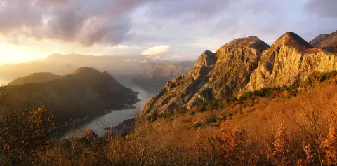
4.8 km↑ 1,074 m4–5½ h
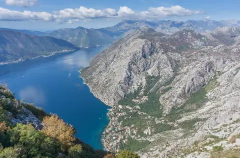
88.4 km↑ 4,606 m4–6 days
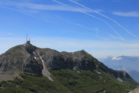
17.3 km↑ 578 m5–7 h
16.1 km↑ 1,418 m6–8 h

406 km↑ 10,191 m6–8 days

195 km↑ 3,259 m2–3 days
4.7 km↑ 799 m3–4 h
0.4 km↑ 50 m15–20 min
LoopTimes and grades are estimates. Conditions change: check the weather and local information before you set out.

Ask about Montenegro
Ask me about destinations, restaurants or activities.
