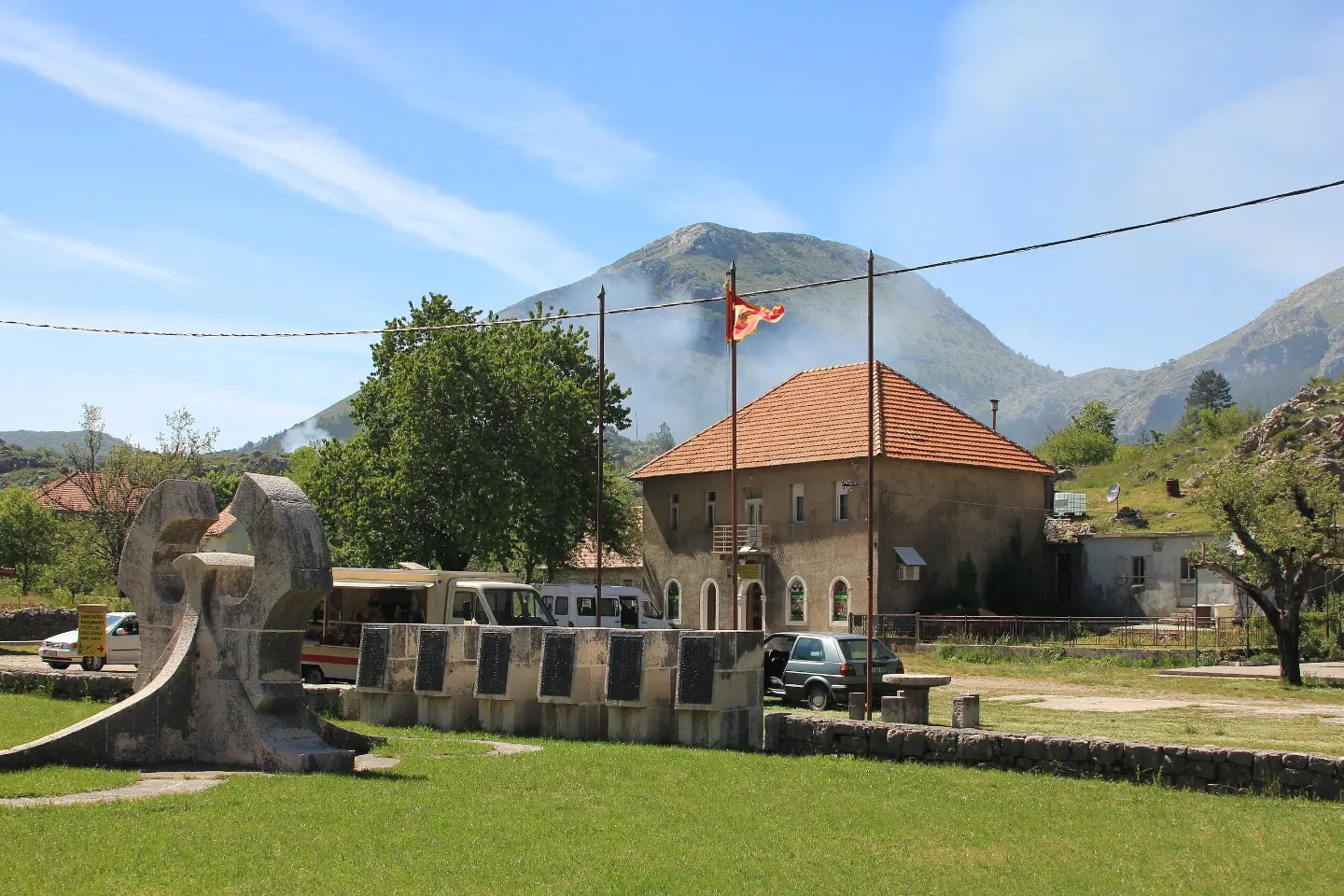
Easy hiking trail 3.5 km long with a gentle ascent and interesting points: peaks, a spring, and a drinking fountain.
Njeguši ham trail / Njeguški Prosciutto Trail is an easy one-way hiking tour 3.5 km in length. In about 1 hour of walking, you overcome a 50 m ascent and a 41 m descent, passing the peaks Krajčeva Glavica and Ilijina Glavica, the spring Blizurad, and a drinking fountain.
The trail is 3.5 km long and runs in one direction. It starts at 844 m above sea level, and the highest point is at 871 m above sea level. For the most part (79%) it follows asphalt or concrete surfaces, while 21% is macadam.
At 0.3 km from the start is the peak Krajčeva Glavica (887 m above sea level), at 1.2 km the spring Blizurad (860 m above sea level), and at 2.0 km the peak Ilijina Glavica (888 m above sea level). At 3.2 km from the start there is a drinking water fountain and a parking area.
The ascent is gentle — only 50 m, with a descent of 41 m — so the tour is easy and suitable for families and recreational hikers. For walking without breaks, about 1 hour is enough, but it is worth planning more because of short stops.
What this difficulty means
Well-made paths with gentle gradients. Fine for families and anyone used to walking a few hours.
Places on this route
Move along the profile to follow the route on the map; switch on 3D for the terrain.
↑ 50 m · ↓ 41 m · highest point 871 m
Along the way
Peak at 887 m above sea level, located 0.3 km from the trailhead.
Spring at 860 m above sea level, located 1.2 km from the trailhead.
Peak at 888 m above sea level, 2.0 km from the trailhead.
A place to refresh at 855 m above sea level, 3.2 km from the trailhead.
Parking at 3.2 km from the trailhead.
Bring enough water; at 3.2 km from the start there is a drinking water fountain.
Wear comfortable footwear because the trail partly runs on macadam, and mostly on asphalt/concrete.
Due to the proximity of the sea and open sections, in summer start earlier or later in the afternoon.
Check the weather forecast before departure; in the mountains, fog and thunderstorms can appear quickly.
Plan more than 1 hour if you want to stop at the peaks and the drinking fountain.
The trail is easy, but it passes through mountainous terrain — follow the markings and do not deviate from the established route. Beware of fog and thunderstorms. In case of emergency, call 112.
Emergency number in Montenegro: 112.
Good to know
Best season
It is most pleasant from spring to autumn. In summer, avoid the hottest part of the day, and in winter, check the trail conditions due to possible ice or fog.
Getting there
The trailhead is about 4.2 km from St. John's Fortress, and the trail is about 4.3 km from Kotor. Parking is located 3.2 km from the trailhead.
The trail is 3.5 km long and runs in one direction.
The estimated walking time without breaks is about 1 hour.
The trail is easy, with a total ascent of 50 m and descent of 41 m.
The trail is marked.

195 km↑ 3,259 m2–3 days
10.1 km↑ 265 m3–4½ h
17.3 km↑ 578 m5–7 h
16.1 km↑ 1,418 m6–8 h

406 km↑ 10,191 m6–8 days
34.3 km↑ 1,738 m2–3 days
88.4 km↑ 4,606 m4–6 days
6.1 km↑ 156 m1½–2½ h
Times and grades are estimates. Conditions change: check the weather and local information before you set out.

Ask about Montenegro
Ask me about destinations, restaurants or activities.
