Easy hiking trail to the spring and pass in Prokletije National Park.
Thematic Trail is an easy hiking trail in Prokletije National Park. It is 3.4 km long, with a total ascent of 213 m, and an estimated duration without breaks of 1 h 15 min.
Thematic Trail is an easy one-way hiking trail located in Prokletije National Park. It starts at 1975 m above sea level and climbs for 3.4 km to 2194 m above sea level. The total ascent is 213 m, and there is no descent.
The surface is varied: 64% macadam and 36% dirt/forest trail. At 2.4 km from the start there is the “Bijela česma” spring at 2137 m above sea level, and at 3.2 km the “Ćafa Bjelega” pass at 2193 m above sea level.
The trail is marked and suitable for beginner hikers and anyone who wants a shorter high-mountain outing. Due to the altitude of almost 2200 m, mountain conditions should be expected. The estimated crossing time without breaks is 1 h 15 min.
What this difficulty means
Well-made paths with gentle gradients. Fine for families and anyone used to walking a few hours.
Places on this route
Move along the profile to follow the route on the map; switch on 3D for the terrain.
↑ 213 m · ↓ 0 m · highest point 2,194 m
Along the way
Located 2.4 km from the start of the trail, at 2137 m above sea level.
A point 3.2 km from the start, at 2193 m above sea level, near the highest point of the trail.
The trail passes through Prokletije National Park.
The trail is one-way – plan your return or transport in advance.
Bring enough water; the “Bijela česma” spring is at 2.4 km, but do not rely on it alone.
Wear hiking footwear with a good sole due to the macadam and dirt trail.
Bring layered clothing and protection from wind and sun; the altitude exceeds 2100 m.
Start early and check the weather forecast before setting off.
At altitudes from 1975 to 2194 m, the weather can change quickly; fog and thunderstorms are possible. Follow the trail markings and do not leave the trail. In case of an accident, call 112.
Emergency number in Montenegro: 112.
Good to know
Best season
Given the altitude of up to 2194 m, the most stable conditions are usually from June to September. In other months, the trail may be snow-covered or icy.
Getting there
The nearest place to the start of the trail is Hridsko Lake, about 3.8 km away. From Hridsko Lake to the start of the trail, there is an access route about 3.8 km long.
The trail is 3.4 km long and goes in one direction.
The estimated duration without breaks is 1 h 15 min.
The trail is easy, with a total ascent of 213 m and no descent. The lowest point is 1975 m, and the highest is 2194 m above sea level.
Yes, the trail is marked.
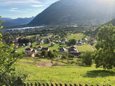
Cycling · Plav · Prokletije National Park
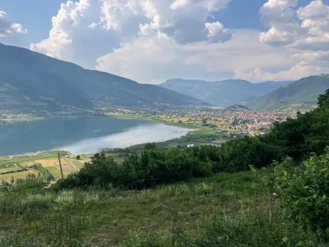
Hiking · Hridsko Lake · Prokletije National Park
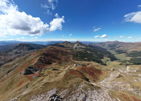
Hiking · Andrijevica · Prokletije National Park
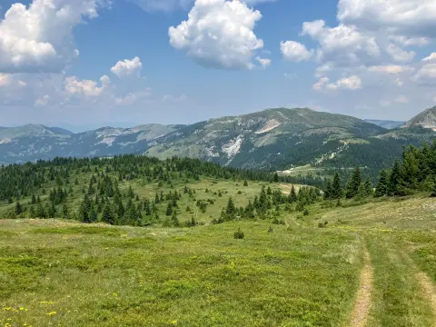
Hiking · Hridsko Lake · Prokletije National Park
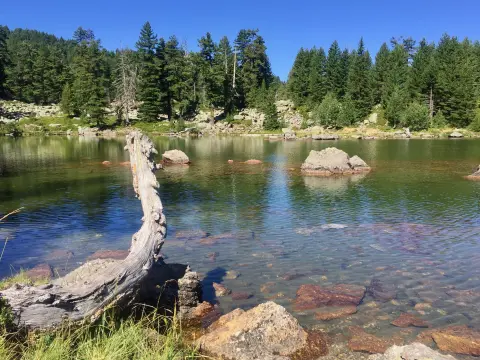
Hiking · Hridsko Lake · Prokletije National Park
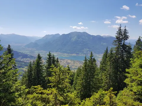
Cycling · Plav · Prokletije National Park
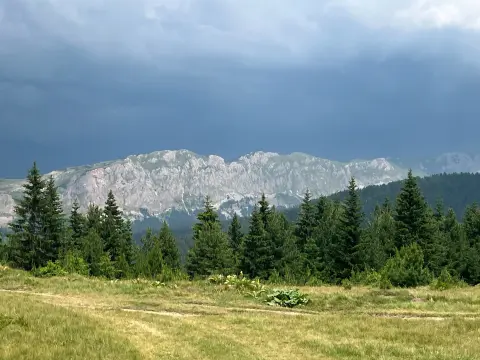
Hiking · Plav
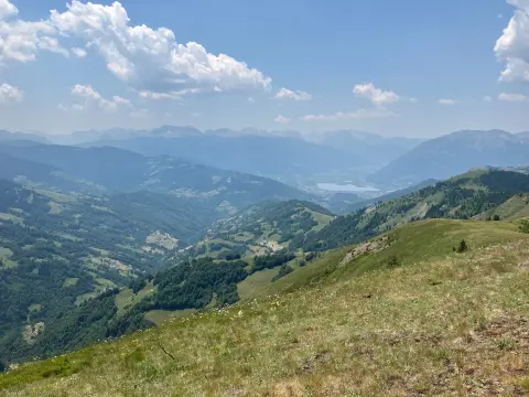
Hiking · Plav
Times and grades are estimates. Conditions change: check the weather and local information before you set out. Map and data sources →

