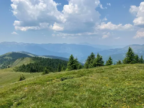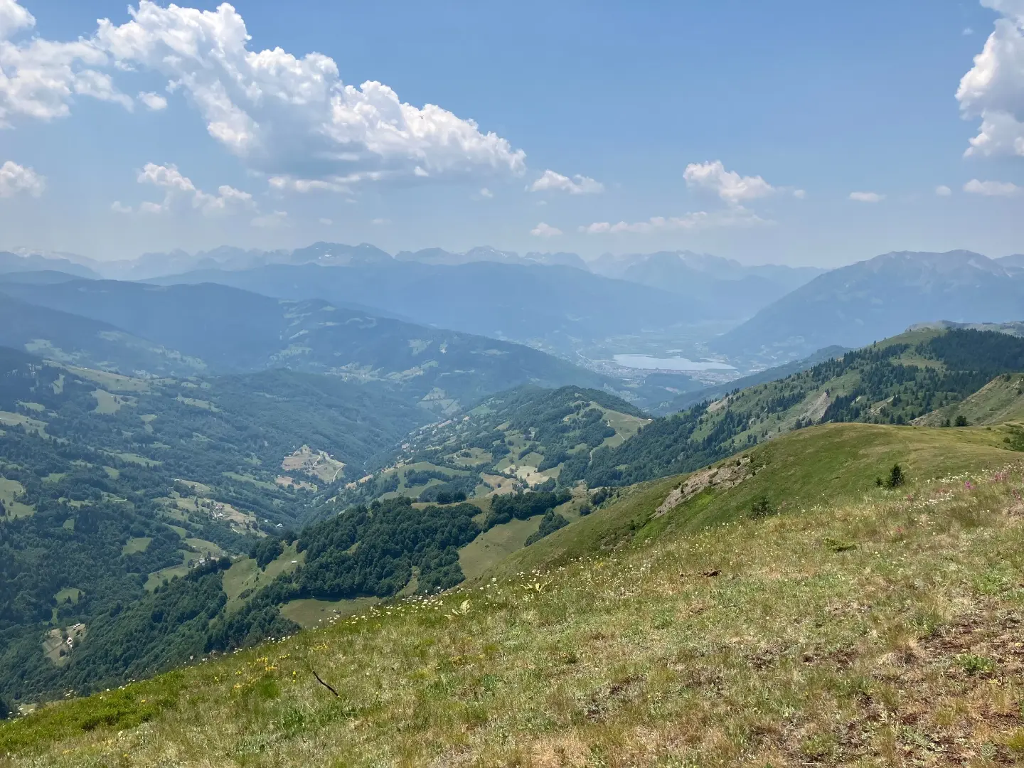
A short and easy forest hiking tour from Šabova glava to the drinking fountain, past Djevojački krš.
An easy one-way mountain trail, 2.4 km long. It leads from Šabova glava (1906 m asl) past Djevojački krš to the drinking fountain at 1963 m asl, with 151 m of ascent and 70 m of descent.
The trail starts at Šabova glava (1906 m asl) and follows forested terrain in one direction. It is 2.4 km long, and walking without breaks takes about 55 minutes. Total ascent is 151 m and total descent is 70 m; the lowest point is at 1850 m asl and the highest at 2000 m asl.
At 2.1 km from the start it passes Djevojački krš, and at 2.4 km the trail reaches the drinking fountain with drinking water at 1963 m asl. The route is easy and suitable for beginners and recreational hikers.
The surface is 100% dirt/forest, so you walk on forest ground. Near the trail are Plav (about 6.8 km from the start), Plav Lake (about 7.8 km) and Hrid Lake (about 9.0 km).
What this difficulty means
Well-made paths with gentle gradients. Fine for families and anyone used to walking a few hours.
Places on this route
Move along the profile to follow the route on the map; switch on 3D for the terrain.
↑ 151 m · ↓ 70 m · highest point 2,000 m
Along the way
Photos and short clips from points along the route – tap one to open it.
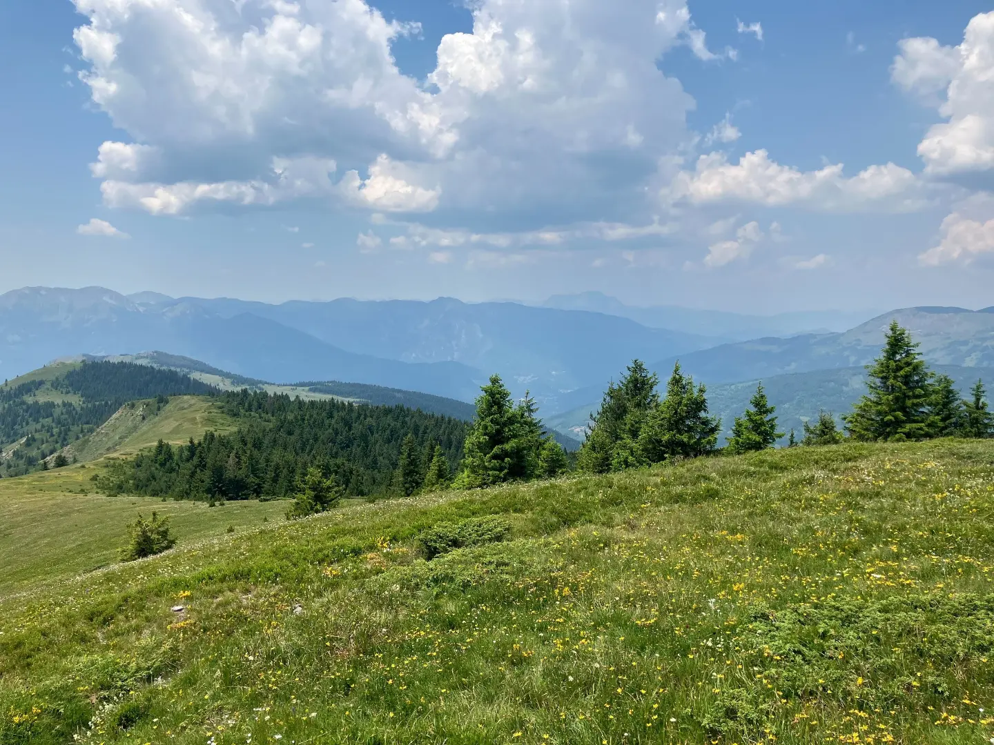
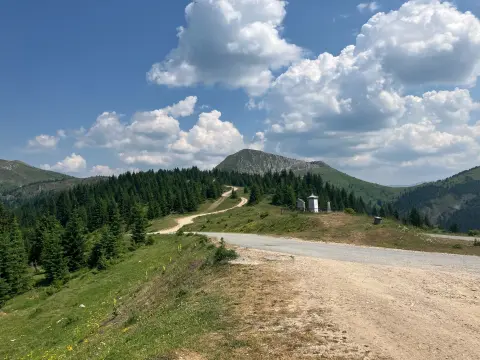
Summit next to the trail at 2.1 km from the start, at 2037 m asl.
Starting point of the trail at 1906 m asl, at 0.0 km from the start.
Point with drinking water at 1963 m asl and 2.4 km from the start.
The entire route follows a dirt and forest surface.
Plav Lake is about 7.8 km away, and Hrid Lake about 9.0 km from the trail.
Although there is a drinking fountain on the trail at 1963 m asl, bring your own water as well.
Wear hiking footwear and dress in layers; the surface is dirt and forest.
Start earlier in the morning, especially in summer, because the trail is one-way and you need to plan the return.
Check the weather forecast before setting out; at an elevation of 1850 to 2000 m the weather changes quickly.
Bring a hat, sun protection and a small first aid kit.
The trail is easy, but it runs at an elevation of 1850 m to 2000 m. Mountain weather can change quickly; in fog or thunderstorms, seek a safe place. Take a charged phone and call 112 in an emergency.
Emergency number in Montenegro: 112.
Good to know
Best season
The best months are June, July, August, September and October. During this period the trail is usually passable and conditions are more suitable for hiking.
Getting there
The nearest place to the trailhead is Plav, about 6.8 km away. The start of the trail is at the summit of Šabova glava.
It is 2.4 km long and runs in one direction.
The estimated duration without breaks is about 55 minutes.
It is easy; total ascent is 151 m and total descent is 70 m.
June, July, August, September and October.
Hiking · Plav
Hiking
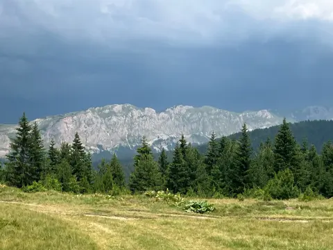
Hiking · Plav
Hiking · Plav
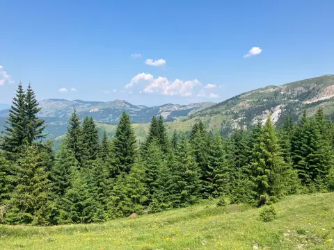
Hiking
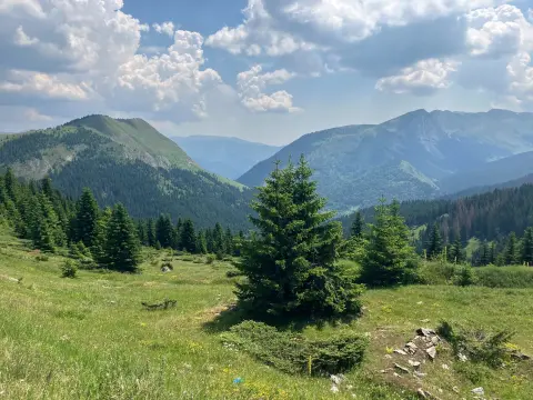
Cycling
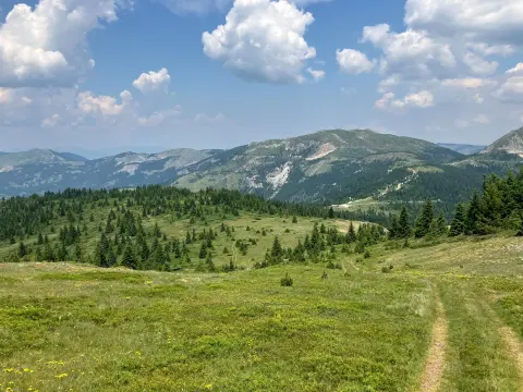
Hiking · Hridsko Lake · Prokletije National Park
Hiking
Times and grades are estimates. Conditions change: check the weather and local information before you set out. Map and data sources →