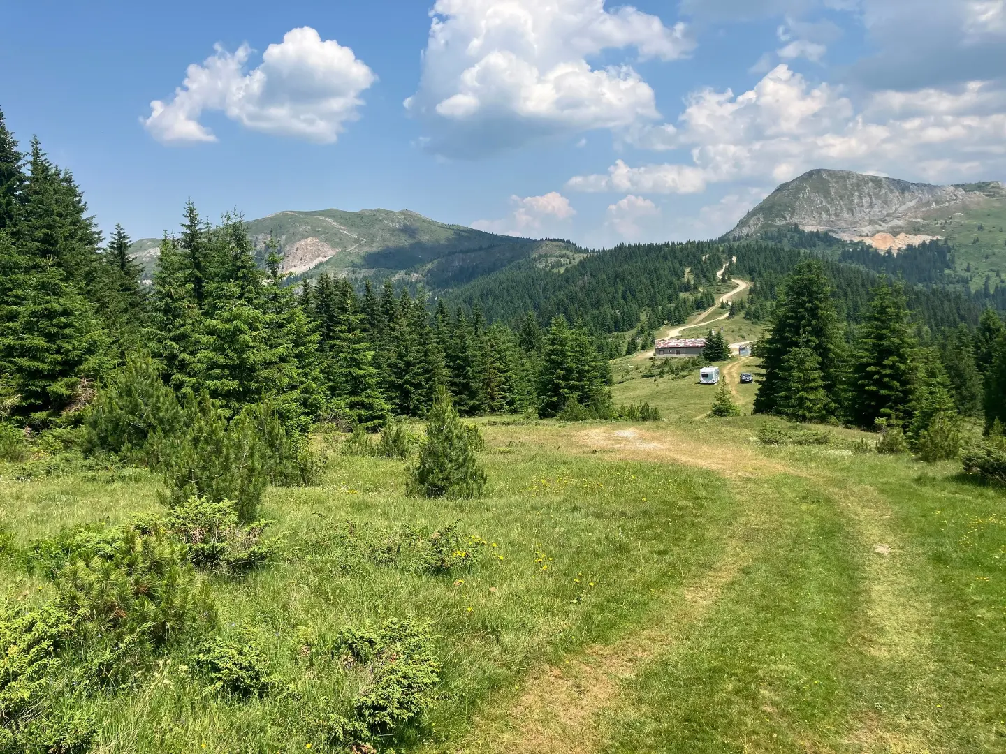
A short and easy forest trail from Ječmišta to Čakor, with a gentle ascent and pleasant walking.
The easy hiking trail Ječmišta – Čakor, 3.6 km long, runs one way through forested terrain. With 52 m of ascent and 180 m of descent, the duration is about 1 h 10 min, and nearby are Plav, Plavsko Lake and Hridsko Lake.
The Ječmišta – Čakor trail is 3.6 km long and runs one way. It starts at an elevation of 1725 m and reaches 1878 m, with a total ascent of 52 m and a total descent of 180 m.
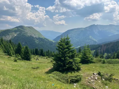
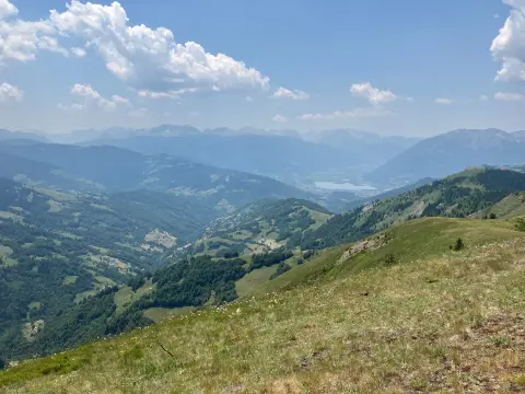
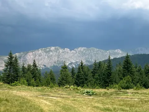
The entire route follows dirt or forest paths, making walking pleasant, but footwear with good grip is required. Due to its short length and gentle profile, the trail is rated as easy and is suitable for most hikers and recreational walkers.
Nearby the trail are the town of Plav, about 6.3 km away, Plavsko Lake at about 7.3 km, and Hridsko Lake at about 9.4 km. The trail is a good option for a short day trip or for combining with a tour of the surrounding area.
What this difficulty means
Well-made paths with gentle gradients. Fine for families and anyone used to walking a few hours.
Places on this route
Move along the profile to follow the route on the map; switch on 3D for the terrain.
↑ 52 m · ↓ 180 m · highest point 1,878 m
The entire route follows a dirt and forest path for a distance of 3.6 km.
The nearest town is about 6.3 km from the trail.
A lake near the trail, about 7.3 km away.
A lake near the trail, about 9.4 km away.
Wear footwear suitable for dirt and forest trails, with good grip.
Bring enough water and snacks, especially during warmer months.
Check the weather forecast before setting off; at elevations above 1700 m the weather can change quickly.
Start early during summer to avoid the hottest part of the day.
Keep in mind that the duration of 1 h 10 min is without breaks; add time for rest and taking photos.
The trail is easy, but it travels at elevations ranging from 1725 m to 1878 m. Check the weather forecast and bring layered clothing, water and basic equipment. In case of an emergency, call the emergency number 112.
Emergency number in Montenegro: 112.
Good to know
Best season
The best months for this trail are June, July, August, September and October. Due to the elevation above 1700 m, snow and low temperatures are possible in other months.
Getting there
The trailhead is at Ječmišta. The nearest town is Plav, about 6.3 km from the trail.
It is 3.6 km long and runs one way. The total ascent is 52 m and the total descent is 180 m.
The estimated duration without breaks is 1 h 10 min.
On our scale it is easy, suitable for most hikers and recreational walkers.
The best months are June, July, August, September and October.
Hiking · Hridsko Lake · Prokletije National Park
Hiking
Hiking
Cycling
Hiking
Hiking · Plav
Hiking · Plav
Hiking · Plav
Times and grades are estimates. Conditions change: check the weather and local information before you set out. Map and data sources →

