A short mountain tour to the summit of Šabova glava with views of the surrounding mountains and lakes.
The trail, 2.1 km long, leads from 1618 m to the summit of Šabova glava (1906 m a.s.l.), with a total ascent of 269 m. It is suitable for hikers of all ages and runs exclusively on dirt and forest paths.
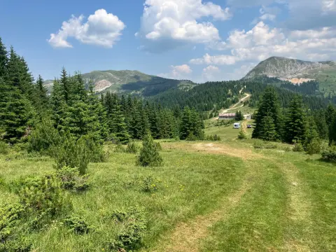
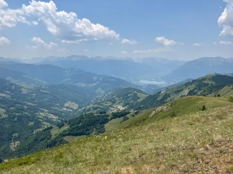
The trail begins at an altitude of 1618 m and is entirely a dirt and forest path. It passes through the area of Zle strane, and at approximately 2.0 km from the start it reaches the summit Šabova glava at 1906 m a.s.l. – the highest point of the tour, offering views of the surrounding mountain landscape.
The 269 m ascent is spread over just 2.1 km, making the trail more demanding than its length suggests, yet it is still rated as easy. The terrain is stable and suited to walkers without special equipment.
The trail is one-way – the start and end are not at the same location, so return transport needs to be planned in advance. Total walking time without breaks is approximately 1 h 25 min.
The tour is particularly suitable for those who want a quick ascent to a mountain summit without lengthy walking. Nearby are Plavsko jezero (~7.2 km) and Hridsko jezero (~8.5 km), which can complement the trip.
What this difficulty means
Well-made paths with gentle gradients. Fine for families and anyone used to walking a few hours.
Places on this route
Move along the profile to follow the route on the map; switch on 3D for the terrain.
↑ 269 m · ↓ 115 m · highest point 1,885 m
Along the way
The goal and highest point of the tour. Reached at approximately 2.0 km from the start, it offers views of the surrounding mountain landscape.
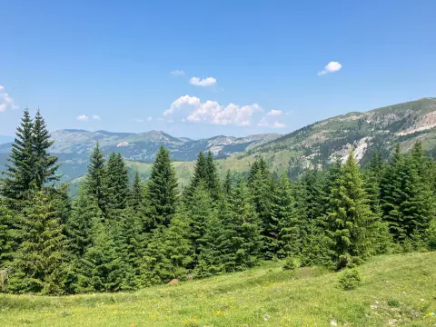
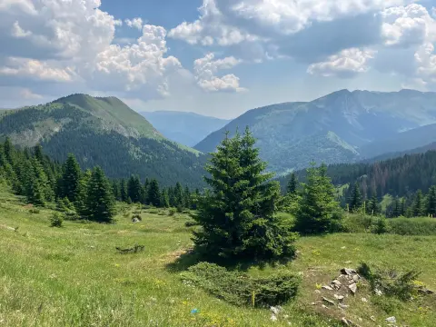
The distinctive mountain terrain through which the trail passes on the way to the summit.
One of Montenegro's mountain lakes, approximately 7.2 km from the trail – worth visiting in combination with the tour.
A mountain lake approximately 8.5 km from the trail, suitable for extending the trip in that area.
Bring enough water – there are no confirmed drinking water sources along the trail.
The trail is one-way, so arrange transport or a return to the starting point in advance.
Set off in the morning to avoid afternoon mountain thunderstorms.
Wear hiking boots with good grip, as the terrain is dirt-based and can be slippery after rain.
Bring a windproof jacket – at around 1900 m altitude, the temperature can be noticeably lower than in the valley.
Check the weather forecast before setting off, especially in late summer and autumn.
The trail is located on a mountain above 1600 m altitude, where weather conditions can change rapidly – sudden afternoon thunderstorms are particularly dangerous. In case of emergency, call the emergency services number: **112**.
Emergency number in Montenegro: 112.
Good to know
Best season
The trail is most suitable from June to October, when mountain paths are passable and weather conditions are most favourable. Outside this period, snow may be present and passage may be difficult.
Getting there
The nearest place to the start of the trail is Plav, approximately 6.3 km away. The trailhead is most easily reached by private vehicle.
The trail is 2.1 km long and is one-way – the start and end are not at the same location.
The estimated walking time without breaks is 1 h 25 min.
The trail is rated as easy, with a total ascent of 269 m over 2.1 km.
The recommended months are June, July, August, September and October.
Hiking · Plav
Hiking
Hiking · Plav
Hiking
Cycling
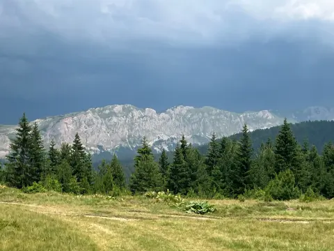
Hiking · Plav
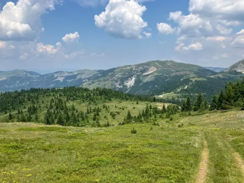
Hiking · Hridsko Lake · Prokletije National Park
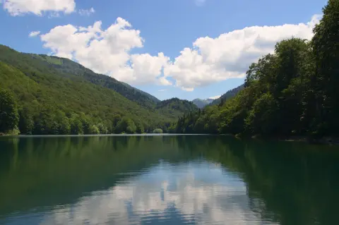
Cycling · Šiško Lake · Biogradska Gora National Park
Times and grades are estimates. Conditions change: check the weather and local information before you set out. Map and data sources →

