A demanding one-way trail with water springs, a cave, and views of the peaks of Mokra Planina.
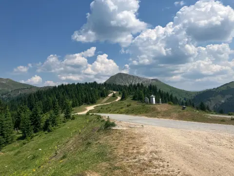
A demanding one-way hiking trail with a length of 10.4 km and a total ascent of 538 m. It leads from Lijepi Do over Prevoj, the Church of the Holy Apostles Peter and Paul, Tojina Cave, and the peak of Vaganica to the peak of Ćete.
The trail begins in the Lijepi Do area on Mokra Planina and leads one-way to the peak of Ćete. The length is 10.4 km, with a total ascent of 538 m and a descent of 437 m. The lowest point of the trail is at 1,772 m a.s.l., and the highest at 2,105 m a.s.l.; the estimated walking time without breaks is 4 h. The difficulty is demanding.
At 0.7 km from the start is the pass Prevoj (1,859 m a.s.l.). The trail then passes by several water springs, including Ramova Česma at 2.1 km, and by the Church of the Holy Apostles Peter and Paul at 3.1 km. At 5.4 km is Tojina Cave, at 8.7 km the peak of Vaganica (2,112 m a.s.l.), and at 10.2 km the peak of Ćete (1,952 m a.s.l.).
The surface is mostly dirt and forest trail (83%), partly gravel road (10%), and asphalt/concrete (7%). There are several water springs along the trail, so it is possible to refill water. The trail is not a loop, so return transport or a pickup needs to be arranged.
What this difficulty means
Steep, rocky or exposed passages and a long day out. For fit, sure-footed hikers with mountain experience.
Move along the profile to follow the route on the map; switch on 3D for the terrain.
↑ 538 m · ↓ 437 m · highest point 2,105 m
Along the way
At 0.7 km from the start, at 1,859 m a.s.l., the trail crosses the pass.
At 3.1 km from the start, at 1,799 m a.s.l., a church is located beside the trail.
At 5.4 km from the start, at 1,789 m a.s.l., the trail passes by the cave.
At 8.7 km from the start, at 2,112 m a.s.l., a prominent peak alongside the trail.
At 10.2 km from the start, at 1,952 m a.s.l., the final prominent peak before the end of the trail.
Bring enough water, even though there are several springs along the trail (e.g. Ramova Česma at 2.1 km).
Start early – the trail is demanding and takes about 4 h without breaks.
Wear hiking boots and layered clothing; the surface is mostly dirt/forest trail.
Check the weather forecast: fog and thunderstorms are possible in the higher sections.
Since the trail is one-way, plan your return or transport to the end point in advance.
The trail is demanding and leads to altitudes above 2,000 m. At higher sections, fog, wind, and thunderstorms are possible. In case of an emergency, call 112.
Emergency number in Montenegro: 112.
Good to know
Best season
The best period for this trail is from June to October. Outside that period, conditions at altitude can be significantly more difficult.
Getting there
The trailhead is in the Lijepi Do area on Mokra Planina. Due to the mountain access road, check road conditions before setting off.
The length is 10.4 km and the trail is one-way.
The estimated walking time without breaks is 4 h.
The difficulty is demanding, with a total ascent of 538 m and descent of 437 m.
The best months are June, July, August, September and October.
Hiking
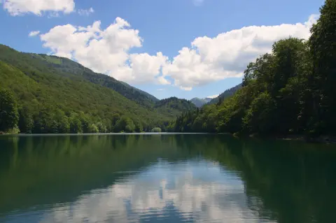
Cycling · Šiško Lake · Biogradska Gora National Park
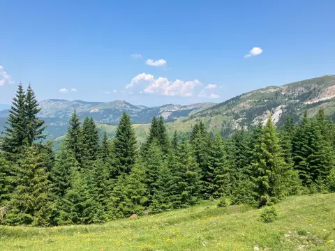
Hiking
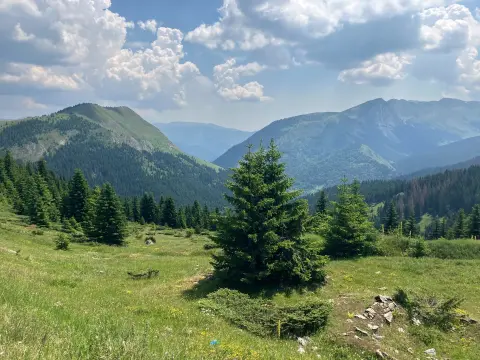
Cycling
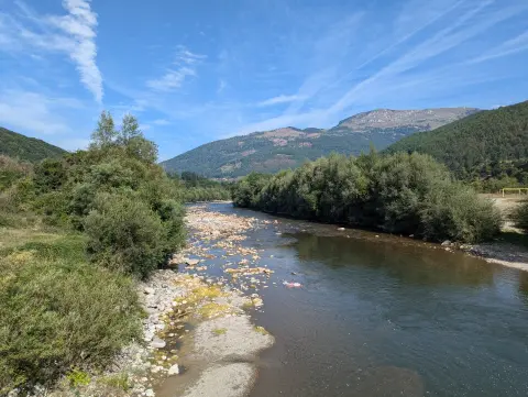
Cycling · Andrijevica
Hiking
Hiking
Cycling · Plav
Times and grades are estimates. Conditions change: check the weather and local information before you set out. Map and data sources →

