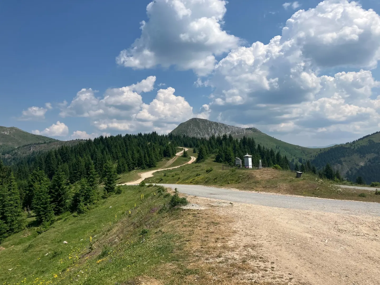
Multi-day, very demanding hiking trail in one direction: 52.1 km, 3,118 m of ascent, peaks and mountain huts.
A one-way hiking trail from Čakor Pass to Žljeb is 52.1 km long and covers 3,118 m of ascent. It is intended for experienced hikers (SAC T5) and offers peaks, passes, huts and springs.
This multi-day trail starts at Čakor Pass (1,859 m a.s.l.) and leads in one direction to Žljeb. It is 52.1 km long, with a total ascent of 3,118 m and a descent of 2,649 m. The lowest point is at 1,578 m a.s.l. and the highest at 2,395 m a.s.l. The estimated duration without breaks is 22 h 10 min, so it should be planned in several stages.
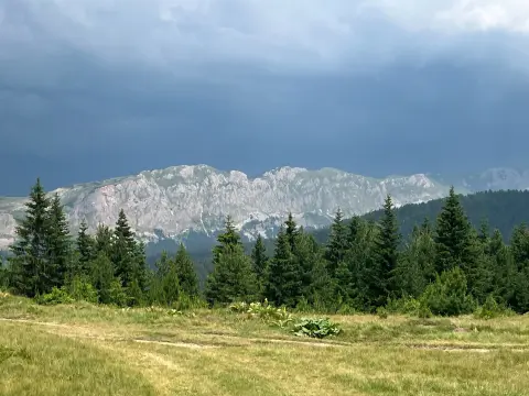
The surface consists mainly of dirt and forest paths (63%), followed by gravel roads (16%), asphalt/concrete (11%) and rocky terrain (10%). Along the route are the peaks Čakor, Vaganica, Hajla / Hajlë and Žljeb / Zhleb, as well as the mountain huts Grope and Štedim. Springs and water fountains are found along the trail.
The trail is very demanding (SAC T5) and is intended for experienced hikers. Good physical fitness, hiking equipment and experience in high-mountain terrain are required.
What this difficulty means
Very long or alpine terrain where hands may be needed, with few ways out. Only for experienced mountaineers in stable weather.
Mountain hiking grade SAC T5 (scale T1–T6).
Places on this route
Move along the profile to follow the route on the map; switch on 3D for the terrain.
↑ 3,118 m · ↓ 2,649 m · highest point 2,395 m
Along the way
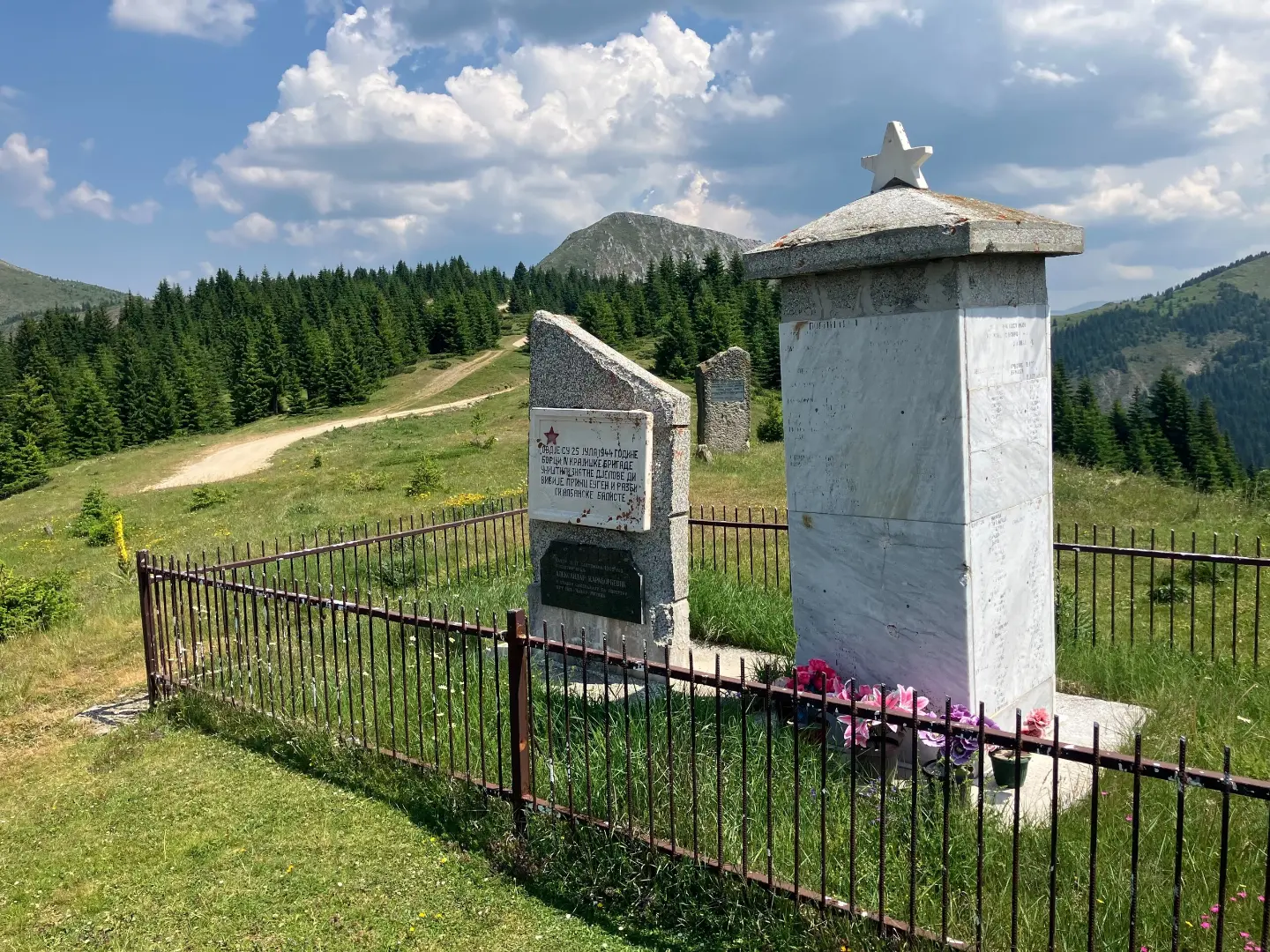
Trail starting point at 1,859 m a.s.l., with a shelter, spring and bus stop.
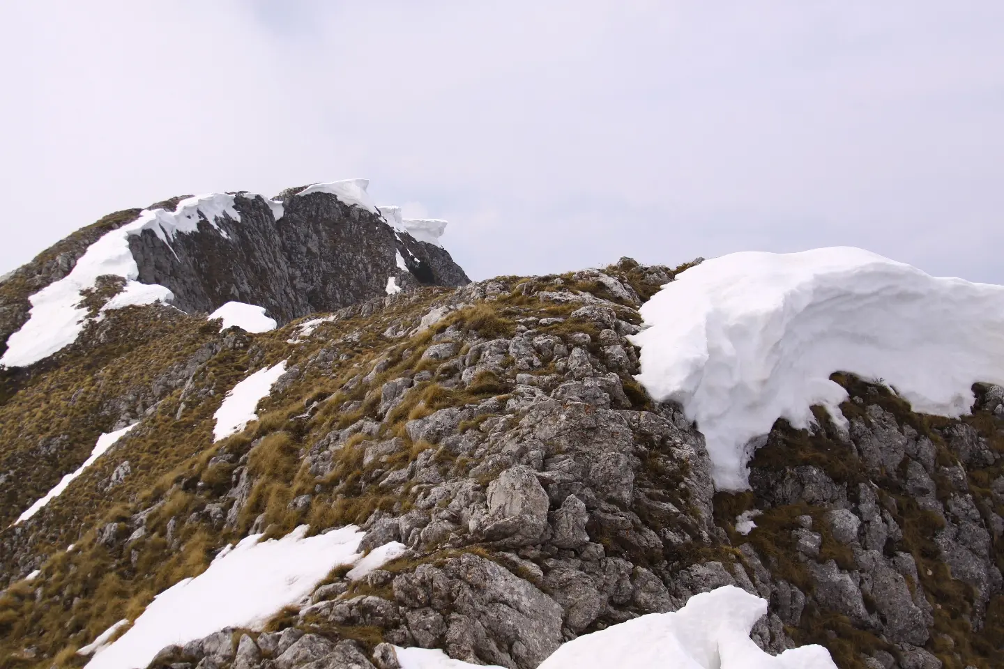
Peak at 2,403 m a.s.l., 33.1 km from the start, with views of the surrounding ridges.
Mountain hut / shelter at 1,891 m a.s.l., 35.8 km from the start.
Mountain hut / shelter at 1,730 m a.s.l., 44.2 km from the start; a campsite at 1,726 m a.s.l. is also nearby.
Peak at 2,382 m a.s.l., 49.7 km from the start, in the final section of the trail.
Plan the trail in several stages; 52.1 km and 22 h 10 min of walking cannot be completed in a single day.
Bring sturdy hiking boots, trekking poles and layered clothing; rocky terrain and altitude require proper hiking gear.
Although there are springs and water fountains along the trail, carry enough water or a water purification device for the more remote sections.
Set out early in the morning and avoid exposure to thunderstorms during the afternoon hours.
Check the weather forecast before departure; at altitudes above 2,000 m conditions can change rapidly.
This is a high-mountain, very demanding trail (SAC T5). Fog, thunderstorms and rocky sections can be dangerous, so do not set out alone, bring navigation equipment and check the forecast. In case of an accident, call 112.
Emergency number in Montenegro: 112.
Good to know
Best season
The best period is from June to September. At altitudes above 2,000 m snow may persist until late spring, and summer afternoon thunderstorms are possible.
Getting there
The starting point at Čakor Pass is most easily reached from Rožaje (about 8.3 km) or Plav (about 9.5 km). A bus stop is located right at the trailhead.
The trail is 52.1 km long and goes in one direction.
The estimated duration without breaks is 22 h 10 min, so the trail is planned as a multi-day trip.
On our scale it is very demanding, for experienced hikers; the SAC hiking scale is T5. It covers 3118 m of ascent and 2649 m of descent.
From June to September, when the trails are generally passable. At altitudes above 2000 m, snow can persist until late spring.
Hiking
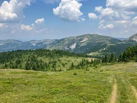
Hiking · Hridsko Lake · Prokletije National Park
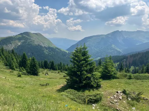
Cycling
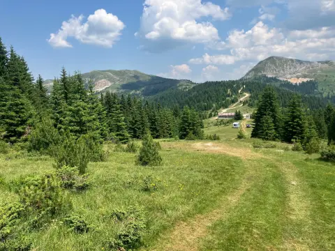
Hiking
Hiking
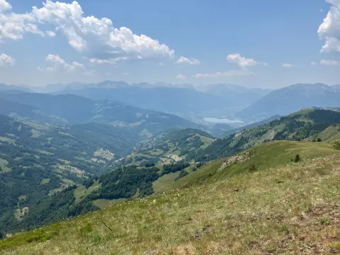
Hiking · Plav
Hiking · Plav
Hiking · Plav
Times and grades are estimates. Conditions change: check the weather and local information before you set out. Map and data sources →

