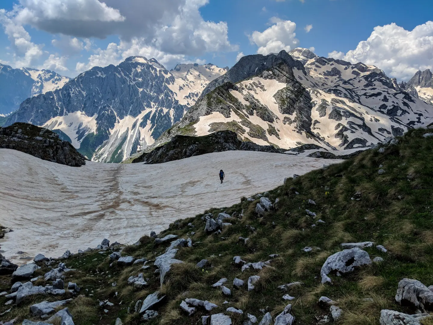
A downhill tour from a high-mountain summit through Prokletije National Park.
The Maja Rosit trail leads from the summit of Maja e Rosit / Rosni vrh (2523 m a.s.l.) toward the valley, passing by a viewpoint and the Ćafa e Farumit pass. It is 4,4 km long with an estimated duration of 2 h 50 min.
The Maja Rosit trail is located in Prokletije National Park, near Gusinje. The route is one-way and mainly downhill — total descent is 1100 m, while ascent is only 18 m. The surface is entirely a dirt and forest trail.
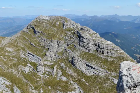
The very start is at the summit of Maja e Rosit / Rosni vrh (2523 m a.s.l.). After about 1,0 km, the trail passes by a viewpoint at 2178 m a.s.l., and immediately afterwards, at 1,2 km, it reaches the Ćafa e Farumit pass (2181 m a.s.l.). From the pass, the route continues descending to the end point at 1396 m a.s.l.
The terrain is predominantly high-mountain and forested. The trail is marked and classified as easy, making it accessible to hikers of various fitness levels. However, the long descent of more than 1000 m of elevation difference requires attention to your knees and footwear with good soles.
The trail is excellent for those who want to enjoy panoramic views of Prokletije with moderate effort.
What this difficulty means
Well-made paths with gentle gradients. Fine for families and anyone used to walking a few hours.
Places on this route
Move along the profile to follow the route on the map; switch on 3D for the terrain.
↑ 18 m · ↓ 1,100 m · highest point 2,485 m
Along the way
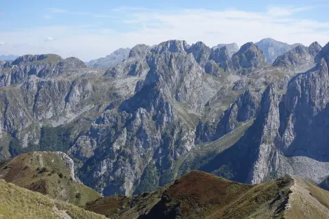
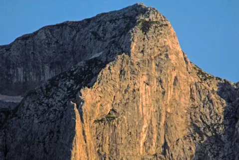
The start of the trail on a high-mountain summit that offers wide views of the surrounding Prokletije mountain massif.
At about 1,0 km from the start there is a viewpoint that offers a striking view of the mountain landscape.
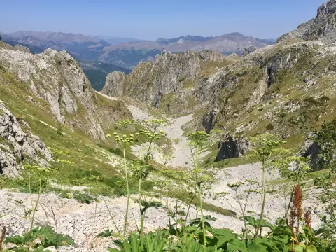
At 1,2 km from the start, the trail passes through the Ćafa e Farumit pass, a characteristic point of this part of Prokletije.
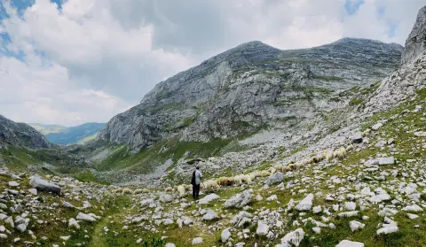
The entire route runs along a dirt and forest trail through the untouched nature of Prokletije National Park.
Bring enough water because you cannot count on reliable water sources along the trail.
Wear hiking footwear with good soles — a long descent of over 1000 m can be hard on your knees.
Start early in the morning to avoid afternoon thunderstorms, which are common at high altitudes.
Bring a windbreaker or a light layer — at altitudes above 2000 m the temperature can drop suddenly.
The trail is one-way, so arrange transport or a transfer to the start point and from the end point in advance.
Inform someone of your tour plan — mobile signal in mountain areas can be unstable.
The trail passes through high-mountain terrain at altitudes up to 2523 m, where weather changes are frequent and sudden. In case of emergency, call 112. Follow the weather forecast and avoid hiking in fog or thunderstorm conditions.
Emergency number in Montenegro: 112.
Good to know
Best season
Given the altitudes above 2000 m, the trail is most accessible from June to September. Outside that period, snow and ice may be present, which makes passage considerably more difficult.
Getting there
The nearest town to the trail is Gusinje, about 8,3 km away. To reach the trail’s starting point, arriving by your own vehicle or an organized transfer is recommended, noting that this is a one-way tour.
The trail is 4,4 km long.
Estimated walking time without breaks is 2 h 50 min.
The trail is classified as easy, although the descent of about 1100 m of elevation difference requires attention and appropriate footwear.
Yes, the trail is marked.
25.3 km↑ 571 m2½–3½ h
Loop
181 km↑ 9,342 m9–12 days
Loop
9.6 km↑ 1,340 m5½–8 h
0.4 km↑ 43 m10–10 min
0.7 km15–20 min
1.7 km↑ 144 m45–60 min
1.3 km↑ 67 m45–65 min
3.8 km↑ 1,099 m4½–6 h
Times and grades are estimates. Conditions change: check the weather and local information before you set out.

Ask about Montenegro
Ask me about destinations, restaurants or activities.
