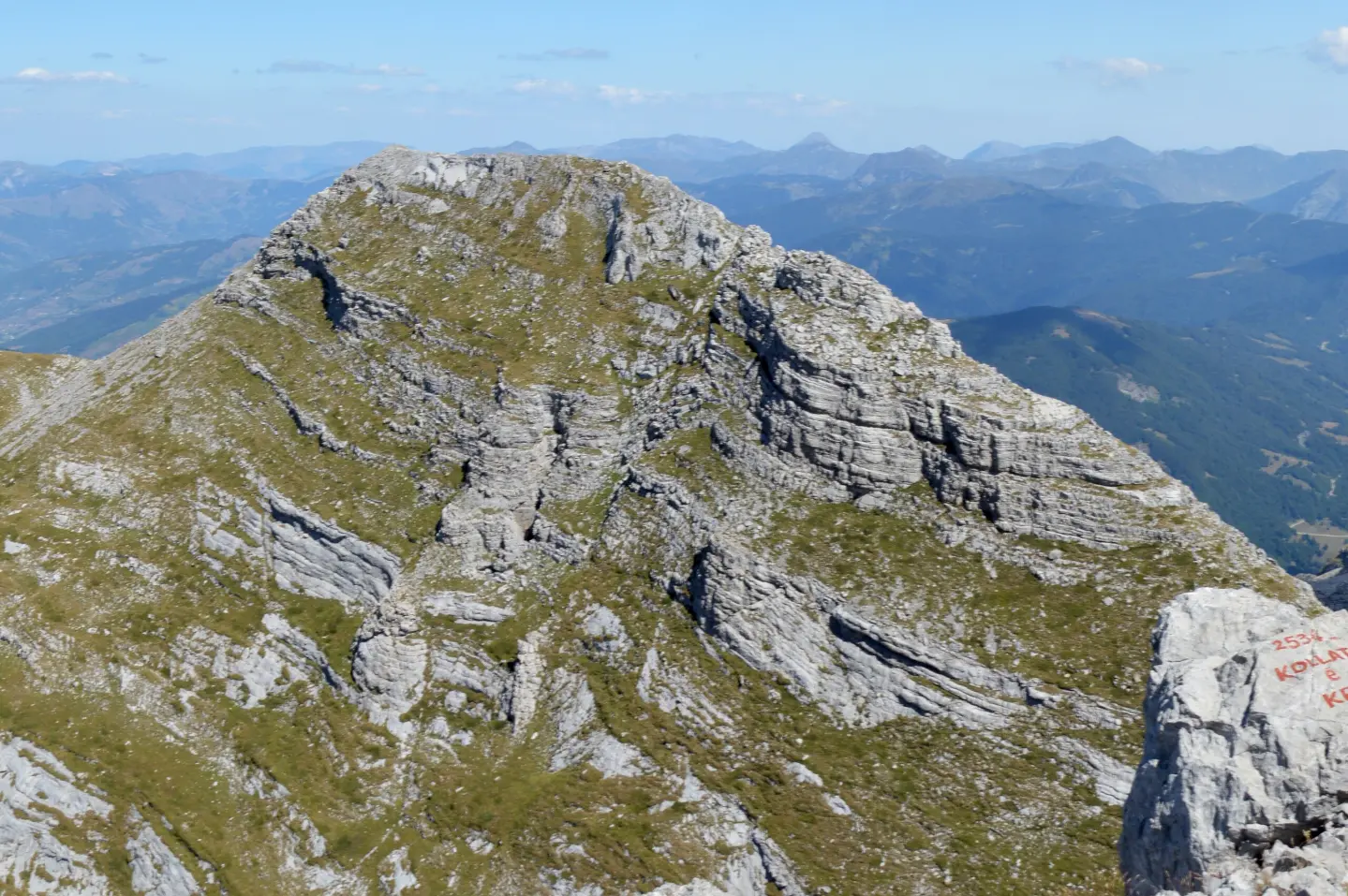
A short rocky trail in Prokletije National Park with a view of the peak Dobra Kolata.
One-way trail from Kolata Pass to Dobra Holata: 0.4 km of rocky terrain, 43 m of ascent and about 10 min of walking. Located in Prokletije National Park, near Gusinje.
The trail begins at Kolata Pass (2416 m a.s.l.) in Prokletije National Park and leads to Dobra Holata. It is 0.4 km long in one direction, with a total ascent of 43 m and no descent. Although short, the trail is demanding due to the rocky and stony terrain at an altitude between 2409 m and 2459 m a.s.l.
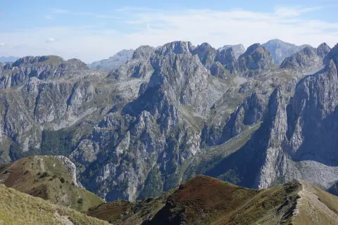
The surface is 100% rocky, so the ascent is tackled by carefully stepping over karst. From the trail and its endpoint, there are views of the high-mountain part of Prokletije, including the peak Dobra Kolata / Kollate e Mires (2525 m a.s.l.), which is 0.4 km from the start.
The trail is located near Gusinje (about 9.9 km), in Prokletije National Park. Due to the altitude and rocky surface, sturdy hiking footwear is recommended, along with caution at every step. The duration of 10 minutes does not include breaks, but at this altitude you should expect faster fatigue and changeable weather conditions.
What this difficulty means
Steep, rocky or exposed passages and a long day out. For fit, sure-footed hikers with mountain experience.
Mountain hiking grade SAC T3 (scale T1–T6).
Places on this route
Move along the profile to follow the route on the map; switch on 3D for the terrain.
↑ 43 m · ↓ 0 m · highest point 2,459 m
Along the way
The starting point of the trail at 2416 m a.s.l.; the ascent immediately leads over rocky terrain.
A peak at 2525 m a.s.l., 0.4 km from the start; it stands out prominently in the surroundings of the trail.
The trail is located in Prokletije National Park, not far from Gusinje (about 9.9 km).
Wear sturdy hiking boots; the surface is exclusively rocky.
Bring enough water, as no water sources are indicated along the trail.
Check the weather forecast for Prokletije before setting off; fog and thunderstorms can change rapidly.
Start early to avoid heat and afternoon instability.
Although the duration is about 10 min, do not underestimate the altitude and rocky terrain.
The trail is short, but the high altitude (2409–2459 m) and rocky surface require caution. In case of fog, thunder or deteriorating weather, turn back. For emergencies in Montenegro, call 112.
Emergency number in Montenegro: 112.
Good to know
Best season
Due to the altitude above 2400 m, the warmer months are the most reliable, usually from June to September. Snow and ice can persist on rocky sections even in late spring.
Getting there
The starting point is at Kolata Pass, in Prokletije National Park. The nearest town is Gusinje, about 9.9 km from the trail.
The trail is 0.4 km long and is not a loop – it goes in one direction.
The estimated duration without breaks is 10 minutes.
On our difficulty scale it is demanding; on the SAC scale it is T3, with 100% rocky terrain.
It starts from Kolata Pass in Prokletije National Park; the nearest town is Gusinje, about 9.9 km away.
9.6 km↑ 1,340 m5½–8 h
0.7 km15–20 min
181 km↑ 9,342 m9–12 days
Loop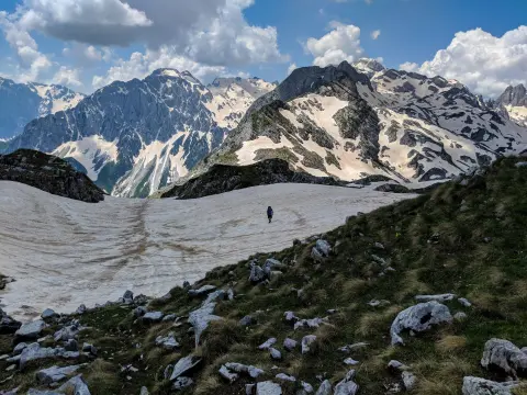
4.4 km↑ 18 m2½–3½ h
25.3 km↑ 571 m2½–3½ h
Loop
25.4 km↑ 1,094 m3½–4½ h
Loop4.3 km↑ 107 m25–35 min
1.7 km↑ 144 m45–60 min
Times and grades are estimates. Conditions change: check the weather and local information before you set out.

Ask about Montenegro
Ask me about destinations, restaurants or activities.
