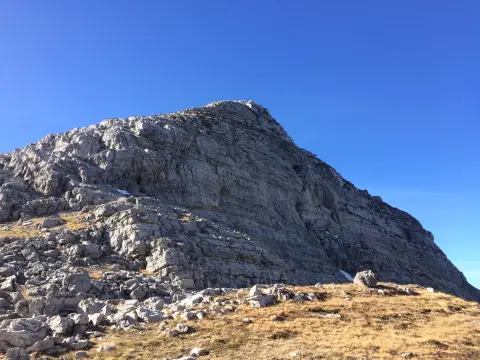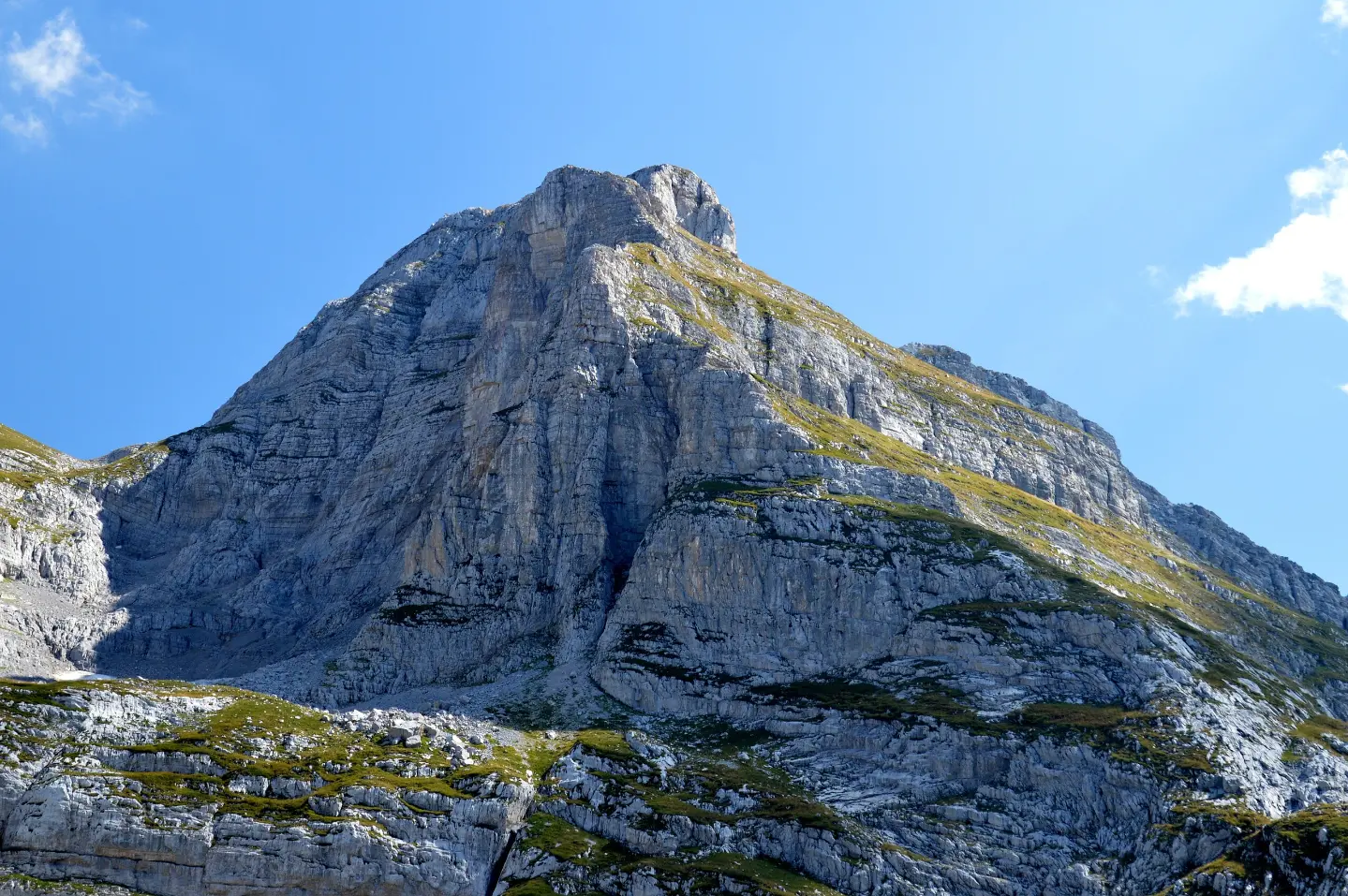
A demanding hiking trail through Prokletije National Park, with a viewpoint, spring, and Ledena Pećina.
The Zla Kolata trail is 9.6 km long and runs in one direction, with a total ascent of 1340 m and a descent of 418 m. The estimated walking time without breaks is 6 h 30 min, and the trail is located in Prokletije National Park.
The Zla Kolata trail runs through Prokletije National Park and is one-way, with a total length of 9.6 km. The lowest point is at 1107 m a.s.l., and the highest is at 2440 m a.s.l. The total ascent is 1340 m, and the descent is 418 m. The estimated walking time without breaks is 6 h 30 min.
The terrain is a combination of dirt/forest trail (49%) and rocky terrain (51%). The trail is marked with a red circular sign with a white dot and is rated as demanding, according to the SAC scale T3.
At 0.1 km from the start there is a viewpoint at 1118 m a.s.l. Further along there is a spring at 1672 m a.s.l. (4.5 km), Bora Pass at 1784 m a.s.l. (5.5 km), and Ledena Pećina at 1946 m a.s.l. (6.6 km). At 8.5 km is Kolata Pass at 2416 m a.s.l., and the summit of Zla Kolata / Kollate e Keqe at 2535 m a.s.l. is at 8.7 km. At 9.6 km is Qafa Prosllopit pass at 2039 m a.s.l.
What this difficulty means
Steep, rocky or exposed passages and a long day out. For fit, sure-footed hikers with mountain experience.
Mountain hiking grade SAC T3 (scale T1–T6).
Places on this route
Move along the profile to follow the route on the map; switch on 3D for the terrain.
↑ 1,340 m · ↓ 418 m · highest point 2,440 m
Along the way
Photos and short clips from points along the route — tap one to open it.
Located 0.1 km from the start of the trail.
The spring point is located 4.5 km from the start of the trail.
A pass at 1784 m a.s.l., 5.5 km from the start of the trail.
A cave at 1946 m a.s.l., 6.6 km from the start of the trail.
A summit at 2535 m a.s.l., 8.7 km from the start of the trail.
Sturdy hiking boots are essential due to the rocky terrain.
Bring enough water and food as the trail is demanding.
Set off early and check the weather forecast before departure.
Bring layered clothing, sun protection, and a first aid kit.
Stay on the marked trail and respect the rules of Prokletije National Park.
Rapid weather changes, fog, and thunderstorms are possible in the mountains. Caution is required on rocky sections due to the risk of slipping. In case of an accident, call 112.
Emergency number in Montenegro: 112.
Good to know
Best season
The trail is most suitable from June to September. Due to the altitude of up to 2440 m, snow and ice may be present during other months.
Getting there
The trailhead is reached from Gusinje, the nearest town, approximately 4.6 km away. The trail is located in Prokletije National Park.
The Zla Kolata trail is 9.6 km long and runs in one direction.
The estimated walking time without breaks is 6 h 30 min.
On our scale it is demanding, and according to the SAC hiking scale T3. Rocky terrain makes up 51 % of the trail.
The trail is in the Prokletije National Park, and the nearest place to the starting point is Gusinje, approximately 4.6 km away.
181 km↑ 9,342 m9–12 days
Loop
25.3 km↑ 571 m2½–3½ h
Loop4.3 km↑ 107 m25–35 min
1.7 km↑ 144 m45–60 min

262 km↑ 6,918 m4–5 days
25.5 km↑ 112 m1½–2 h
2.4 km↑ 218 m50–70 min
Times and grades are estimates. Conditions change: check the weather and local information before you set out.

Ask about Montenegro
Ask me about destinations, restaurants or activities.