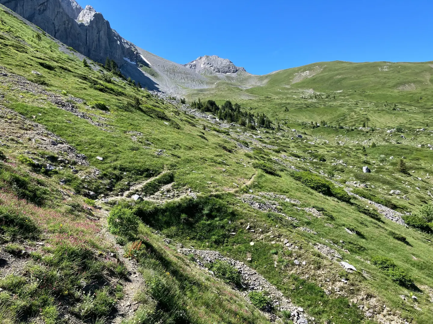
Demanding one-way hiking route: 15.2 km, ascent 364 m, descent 591 m.
Demanding one-way mountaineering route 15.2 km long. The highest point is at 1,873 m a.s.l., the lowest at 1,325 m a.s.l.; mostly on gravel road.
The trail is a one-way mountaineering route, 15.2 km long. At 0.4 km from the start there is a drinking water fountain at 1,873 m a.s.l., which is also the highest point of the route. The lowest point is at 1,325 m a.s.l. Total ascent is 364 m, and total descent is 591 m. Due to its length and descent, the route is rated as demanding, even though the ascent itself is not large.
The surface is mostly gravel road (67%), followed by dirt and forest trail (26%), and only 7% is asphalt or concrete. At 14.9 km from the start, at 1,596 m a.s.l., the route passes a spring.
Crossing takes about 5 h of walking without breaks. The trail is suitable for hikers with good fitness and experience on longer routes. Near the trail is Andrijevica, about 8.5 km away.
What this difficulty means
Steep, rocky or exposed passages and a long day out. For fit, sure-footed hikers with mountain experience.
Places on this route
Move along the profile to follow the route on the map; switch on 3D for the terrain.
↑ 364 m · ↓ 591 m · highest point 1,873 m
At 0.4 km from the start and at 1,873 m a.s.l. there is a drinking water fountain.
At 14.9 km from the start, at 1,596 m a.s.l., the trail passes a spring.
The route runs between 1,325 m and 1,873 m a.s.l.
The nearest settlement is Andrijevica, about 8.5 km from the trail.
Wear hiking boots or sturdy mountaineering shoes: most of the route is gravel road.
Refill water at the drinking water fountain 0.4 km from the start; carry a reserve for long sections too.
Start early enough, because walking takes about 5 h without breaks.
Check the forecast and be prepared for rapid weather changes at altitude.
Bring layered clothing, a hat, and sun or rain protection.
At this altitude the weather can worsen quickly; fog and thunderstorms are not rare. Stay on the trail and do not leave it. In emergencies call 112.
Emergency number in Montenegro: 112.
Good to know
Best season
The most pleasant period is from late spring to early autumn, when the trails are passable and free of snow. In winter the trail can be under snow and ice.
Getting there
Near the trail is Andrijevica, about 8.5 km away. The start of the trail is most easily approached from that direction; check the exact access on the map.
15.2 km, one way.
About 5 h of walking without breaks.
According to our scale, it is demanding; good physical condition is recommended.
Macadam 67 %, dirt/forest trail 26 %, asphalt/concrete 7 %.
8.2 km↑ 347 m2½–3½ h
15.8 km↑ 740 m5–7 h
2.4 km↑ 606 m2–3 h
1.4 km↑ 69 m25–35 min
5.0 km↑ 56 m2–2½ h
5.5 km↑ 42 m1½–2½ h

143 km↑ 5,436 m6–9 days
6.1 km↑ 830 m3–4½ h
Times and grades are estimates. Conditions change: check the weather and local information before you set out.

Ask about Montenegro
Ask me about destinations, restaurants or activities.
