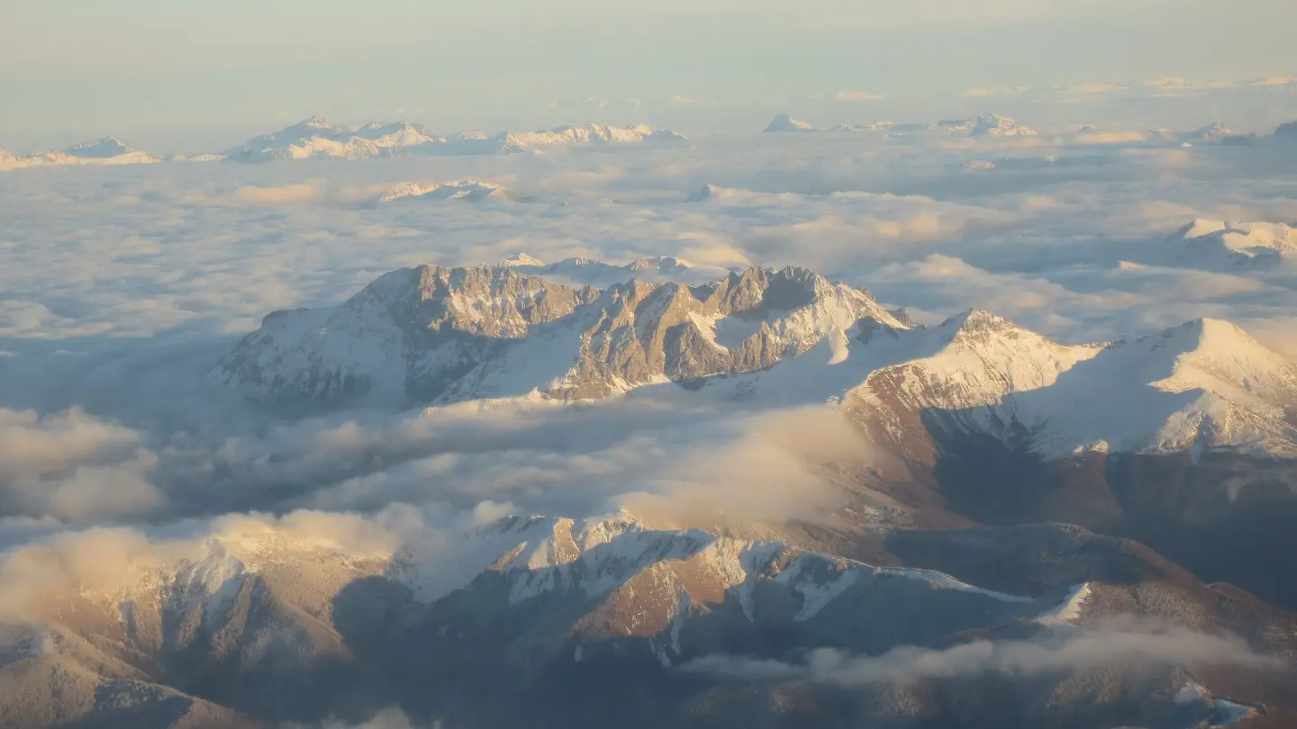
One-way hiking tour from Kom Kučki to Štavna: descent 679 m, gravel road and short forest sections.
Demanding one-way tour, 5.0 km long, from the Kom Kučki area to Štavna. Total descent 679 m, ascent 56 m; duration approximately 2 h 10 min without breaks.
The trail begins near the summit of Kom Kučki, at 0.0 km of the route. The route mostly descends: total ascent is 56 m and total descent is 679 m. The highest point of the trail is at 2440 m a.s.l., and the lowest at 1792 m a.s.l.
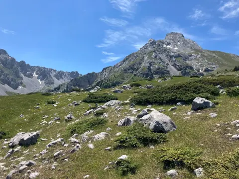
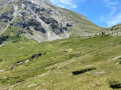
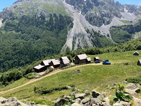
At 1.2 km, the trail passes by the pass Ćafa od Carina (Provuša) at 2177 m a.s.l. The surface is mostly gravel road – 93% of the route. The remaining 7% consists of dirt and forest trails. At 4.8 km there is a shelter at 1828 m a.s.l. The trail ends in Štavna.
The tour is one-way and demanding, according to the SAC hiking scale T3. Estimated duration without breaks is 2 h 10 min. Due to the long descent, the route is better suited for hikers with good fitness and experience in high mountain terrain.
What this difficulty means
Steep, rocky or exposed passages and a long day out. For fit, sure-footed hikers with mountain experience.
Mountain hiking grade SAC T3 (scale T1–T6).
Move along the profile to follow the route on the map; switch on 3D for the terrain.
↑ 56 m · ↓ 679 m · highest point 2,440 m
Along the way
Point of interest at 0.0 km from the start; elevation 2487 m a.s.l.
Passed at 1.2 km from the start, at 2177 m a.s.l.
Located at 4.8 km from the start, at 1828 m a.s.l.
Wear hiking boots with good grip; the trail is mostly gravel road with a long descent.
Bring enough water – there are no marked water sources along the route.
Start early and allow approximately 2 h 10 min of walking without breaks.
Check the weather forecast; at altitudes above 1800 m conditions can change rapidly.
Trekking poles can ease the long descent.
The trail is marked; follow the signs. Due to the altitude and open mountain terrain, stop moving and find a safer place in case of fog or thunderstorm. In emergencies, call 112.
Emergency number in Montenegro: 112.
Good to know
Best season
Due to the altitude ranging from 1792 m to 2440 m, the most reliable period for this tour is late spring, summer, and early autumn. In winter and early spring the trail may be covered with snow.
Getting there
The starting point is in the area of the Kom Kučki summit. It is reached via mountain roads, whose passability depends on the season and weather conditions.
The length is 5.0 km.
The estimated duration without breaks is 2 h 10 min.
It is rated as demanding, according to the SAC scale T3.
No, it is one-directional – the start and end are not at the same place.

Hiking · Crno Jezero · Durmitor National Park
Hiking
Hiking
Hiking
Hiking
Hiking

Hiking
Hiking
Times and grades are estimates. Conditions change: check the weather and local information before you set out. Map and data sources →

