Cycling trail from Mojkovac: 23.7 km, 1,191 m of ascent, a combination of gravel and asphalt.
Cycling trail MO01 starts near Mojkovac and runs 23.7 km in one direction. It has a total ascent of 1,191 m, a highest point of 1,776 m a.s.l., and moderate difficulty, with a surface of 67% gravel and 31% asphalt/concrete.
Cycling trail MO01 begins near Mojkovac, approximately 0.7 km from the town, and runs in one direction. The length is 23.7 km, the total ascent is 1,191 m, and the descent is 260 m. The lowest point is at 793 m a.s.l. and the highest at 1,776 m a.s.l. The estimated riding time without breaks is around 4 hours. The difficulty is moderate.
The surface is predominantly gravel (67%), while asphalt or concrete makes up 31%. The ride leads through an ascent with several longer sections and requires solid fitness, but there are no extreme technical obstacles.
At 6.2 km from the start, the trail passes near the summit of Bojkovača (1,169 m a.s.l.), and at 7.9 km near Katuničko brdo (1,311 m a.s.l.). At 11.8 km the trail reaches the mountain hut Ckara at 1,624 m a.s.l. In the final section, between 19.3 km and 23.5 km, there are several springs and water fountains with drinking water.
The trail is suitable for cyclists with moderate experience who want a longer ride with climbing. Due to the elevation differences and changing surfaces, plan enough time and carefully manage your effort.
What this difficulty means
Some longer climbs or rougher surfaces. You need regular riding fitness.
Places on this route
Move along the profile to follow the route on the map; switch on 3D for the terrain.
↑ 1,191 m · ↓ 260 m · highest point 1,776 m
Along the way
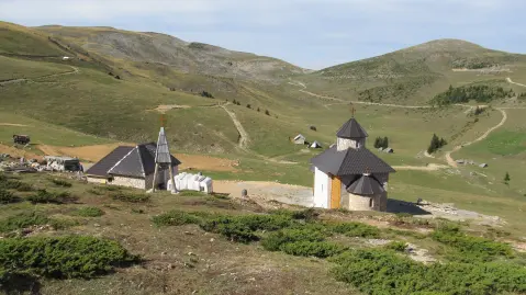
A mountain hut at 1,624 m a.s.l., 11.8 km from the start of the trail.
A summit at 1,169 m a.s.l., 6.2 km from the start of the trail.
A summit at 1,311 m a.s.l., 7.9 km from the start of the trail.
In the final section, between 19.3 km and 23.5 km, there are several springs and water fountains with drinking water; elevations range from 1,664 m to 1,727 m a.s.l.
Bring enough water; springs and water fountains have been recorded in the final section of the trail, but do not rely solely on them.
Check the weather forecast before setting off, especially given the highest point of 1,776 m a.s.l.
Set out early and plan for around 4 hours of riding without breaks, with additional time for rest.
Due to 67% gravel surface, use a bicycle with appropriate tyres and bring a spare inner tube.
Dress in layers and bring a windbreaker, as the temperature can change quickly with altitude.
On sections above 1,500 m a.s.l. the weather can change quickly; bring a windbreaker and monitor the forecast. In the event of a thunderstorm, do not linger on open ridges. In case of emergency call 112.
Emergency number in Montenegro: 112.
Good to know
Best season
Due to the highest point at 1,776 m a.s.l., the best period is usually from late spring to early autumn. In the colder part of the year, higher sections may have snow and low temperatures.
Getting there
The easiest way to reach the start of the trail is from Mojkovac; the starting point is about 0.7 km from the town.
The length of the trail is 23.7 km.
The estimated duration without breaks is 4 hours.
The total ascent is 1,191 m and the descent is 260 m.
The difficulty is moderate.
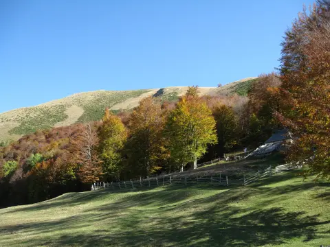
Hiking · Crno Jezero · Durmitor National Park

Hiking · Crno Jezero · Biogradska Gora National Park
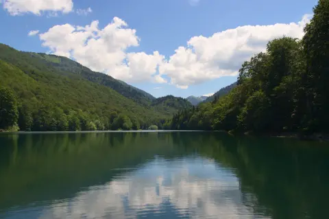
Cycling · Šiško Lake · Biogradska Gora National Park
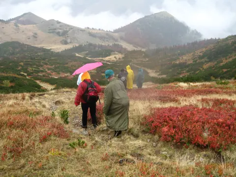
Hiking · Mojkovac · Biogradska Gora National Park
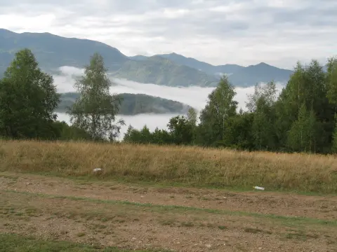
Hiking · Mojkovac
Hiking · Šiško Lake · Biogradska Gora National Park
Hiking · Kolašin · Biogradska Gora National Park
Cycling · Šiško Lake
Times and grades are estimates. Conditions change: check the weather and local information before you set out. Map and data sources →

