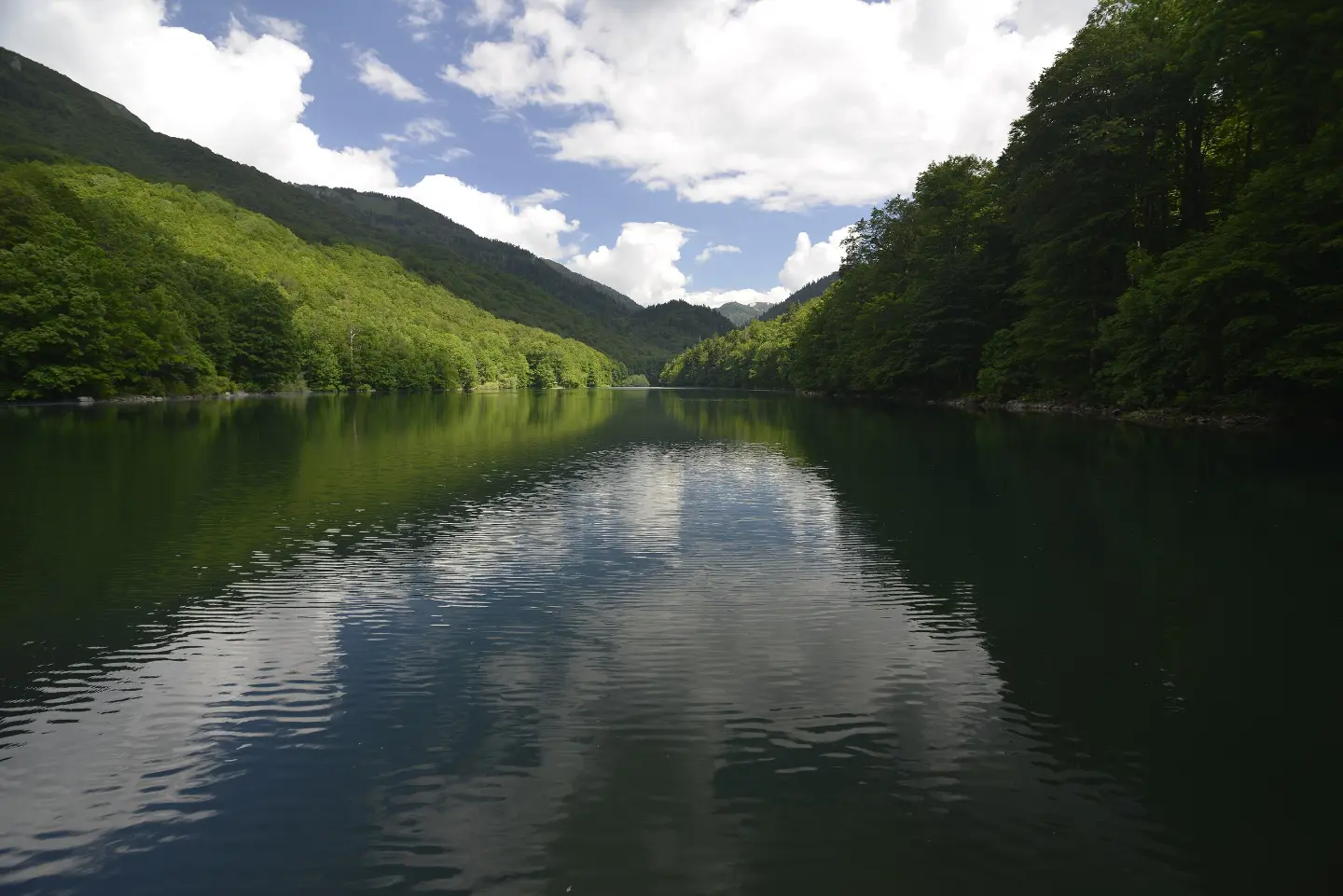
Full-day hiking tour through Biogradska Gora National Park: 24,0 km, 978 m of ascent and 1070 m of descent, to Kraljevo kolo.
The hiking trail from Radigojna to Kraljevo kolo is 24,0 km long, with a total ascent of 978 m and descent of 1070 m. The estimated duration without breaks is 8 h 40 min, and the surface is mostly macadam, with asphalt and forest sections.
The trail starts from the Radigojna area, very close to Kolašin, and leads one-way over Goleš and Biogradsko Lake to Kraljevo kolo. It passes through Biogradska Gora National Park, with a total length of 24,0 km, ascent of 978 m and descent of 1070 m.
The surface is mostly macadam (51%), followed by asphalt or concrete (30%) and dirt or forest trail (19%). The lowest point is at 848 m a.s.l., and the highest at 1688 m a.s.l. At 7,0 km from the start is Oblutak Peak (1177 m a.s.l.), and at 7,5 km is Bukovički Brijeg Peak (1211 m a.s.l.). Further on, at 15,0 km, there is a camp along the route at 1571 m a.s.l.
In the final section, at 19,6 km and 20,3 km, there are two shelters; at 20,3 km there is also the “Biogradsko Lake” camp (1126 m a.s.l.). The tour ends at Kraljevo kolo. The estimated duration without breaks is 8 h 40 min, so the trail is very demanding and intended for experienced hikers.
What this difficulty means
Very long or alpine terrain where hands may be needed, with few ways out. Only for experienced mountaineers in stable weather.
Mountain hiking grade SAC T1 (scale T1–T6).
Move along the profile to follow the route on the map; switch on 3D for the terrain.
↑ 978 m · ↓ 1,070 m · highest point 1,688 m
Along the way
The first prominent peak at 7,0 km from the start of the trail.
A peak at 7,5 km from the start, not far from Oblutak.
A high-altitude camp at 15,0 km, in the middle part of the tour.
A camp at 20,3 km, next to Biogradsko Lake, at 1126 m a.s.l.
Two shelters: at 19,6 km (1098 m a.s.l.) and at 20,3 km (1131 m a.s.l.).
Plan a full day: the duration without breaks is 8 h 40 min, so set off early in the morning.
Bring enough water and food, as the trail is very demanding and 24,0 km long.
Wear layered clothing and comfortable hiking boots; the surface is mostly macadam.
Check the weather conditions before setting off and be prepared for rapid changes in the mountains.
If you go one way, arrange transport in advance from the end point to the starting point.
Respect the rules of Biogradska Gora National Park.
The trail is very demanding and leads through mountainous areas up to 1688 m a.s.l. Fog, thunderstorms and sudden weather changes are possible, so follow the forecast and do not set off if bad conditions are forecast. In case of an accident, call 112.
Emergency number in Montenegro: 112.
Good to know
Best season
It is best to go from late spring to early autumn, when the trails are mostly passable. In the winter months, high sections above 1500 m a.s.l. may be under snow.
Getting there
The trailhead can be reached from Kolašin, which is about 0,2 km away. Parking is available at 0,0 km and 0,2 km from the start.
The trail is 24,0 km long and runs one way, so the start and end are not in the same place.
Estimated duration without breaks is 8 h 40 min.
It is very demanding and recommended for experienced hikers. It is physically difficult due to its length and total ascent of 978 m; technical SAC rating is T1.
The start is in the Radigojna area, about 0.2 km from Kolašin. Parking spots are at 0.0 km and 0.2 km from the start.

406 km↑ 10,191 m6–8 days
22.9 km↑ 1,513 m7½–10½ h
19.2 km↑ 157 m1½–2 h

413 km↑ 8,566 m5–8 days
16.4 km↑ 1,200 m5½–8 h

399 km↑ 9,352 m5–8 days
95.7 km↑ 3,723 m2–3 days
4.7 km↑ 505 m2–3 h
Times and grades are estimates. Conditions change: check the weather and local information before you set out.

Ask about Montenegro
Ask me about destinations, restaurants or activities.
