A moderate hiking tour with a gradual ascent, three water springs, and varied terrain.
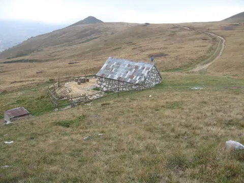
Trail 330 is 4.7 km long and runs in one direction with a total ascent of 505 m. It combines forest paths and gravel road, and in the upper section there are as many as three drinking-water springs.
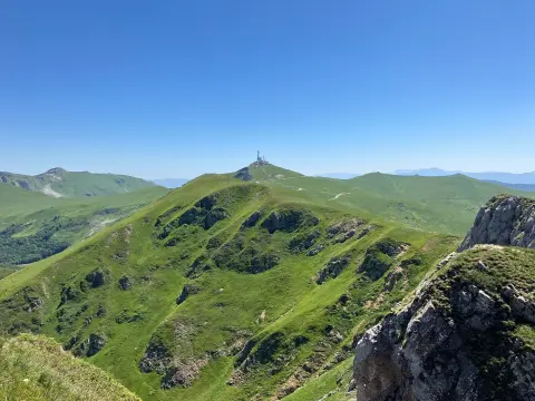
Trail 330 starts at an elevation of 1,117 m and ends at 1,611 m, covering 505 m of ascent over just 4.7 km. The pace is steady and gradual, making the trail suitable for hikers with a basic level of fitness who want a solid climb without any technical demands.
The surface is evenly divided: about half the route consists of an earth or forest path, and the remainder is gravel road. At 2.9 km from the start, at an elevation of 1,333 m, there is the first spring – a convenient spot for a short rest. In the final section of the tour, between 4.2 and 4.5 km, three more springs appear at elevations of 1,562 m, 1,569 m, and 1,586 m.
The trail is marked and passes through areas in the surroundings of Kolašin, with Pešića and Šiško Lake in the broader hinterland. Since it is one-way, transport or a return journey must be arranged in advance.
It is recommended for hikers of moderate fitness who want a half-day outing with a clear goal.
What this difficulty means
Longer or steeper sections and uneven ground. You need basic fitness, sturdy shoes and a little mountain experience.
Places on this route
Move along the profile to follow the route on the map; switch on 3D for the terrain.
↑ 505 m · ↓ 17 m · highest point 1,611 m
At 2.9 km from the start, the first opportunity to refill water presents itself – a practical stop at the midpoint of the ascent.
Between 4.2 and 4.5 km from the start, at elevations from 1,562 m to 1,586 m, there are three springs – ideal for refreshment before the finish.
The trail combines a forest path and gravel road in equal proportions, providing a pleasant variety throughout the entire ascent.
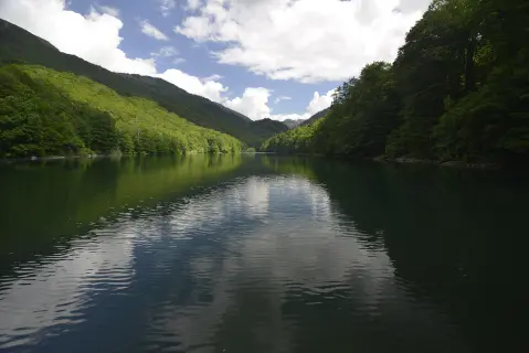
In the wider area, within 10 km of the trail, are Pešića Lake (~7.5 km) and Šiško Lake (~7.7 km).
Bring enough water for the starting section; there is no spring until 2.9 km from the start.
Footwear with good grip is recommended due to the combination of forest path and gravel road.
The trail is one-way – arrange transport in advance or agree with someone to pick you up at the end.
Set off in the morning to avoid the afternoon thunderstorms typical of mountain areas.
Bring a windbreaker or light jacket; at 1,600 m it can be cooler than in the valley.
We recommend a hiking map or GPS app with the trail loaded, as the terrain is one-directional.
The mountain areas around Kolašin can be affected by sudden weather changes, fog, or thunderstorms, especially in the afternoon. Inform someone of your planned departure and return. In case of emergency, call 112.
Emergency number in Montenegro: 112.
Good to know
Best season
The trail is most suitable from late May to October, when snow and frost are rare at these elevations. Outside that period, difficult and dangerous conditions on the terrain are possible.
Getting there
The closest settlement to the start of the trail is Kolašin, approximately 5.3 km away. The trailhead is most easily reached by private vehicle.
The trail is 4.7 km long and runs in one direction – the start and end are not at the same location.
The estimated hiking time without breaks is 2 h 20 min, with a total ascent of 505 m.
The trail is rated as moderate. It is suitable for hikers with basic fitness, but requires constant attention due to the ascents.
Yes – there are four drinking water fountains on the trail: one at 2.9 km (1,333 m a.s.l.) and three in the final section between 4.2 and 4.5 km (1,562–1,586 m a.s.l.).
95.7 km↑ 3,723 m2–3 days

399 km↑ 9,352 m5–8 days
22.9 km↑ 1,513 m7½–10½ h
19.2 km↑ 157 m1½–2 h
16.4 km↑ 1,200 m5½–8 h
0.6 km↑ 102 m20–30 min
24.0 km↑ 978 m7½–10½ h
1.4 km↑ 126 m40–55 min
Times and grades are estimates. Conditions change: check the weather and local information before you set out.

Ask about Montenegro
Ask me about destinations, restaurants or activities.
