A demanding mountain tour from Kolašin with a long ascent and beautiful views of the surrounding peaks.
The trail, 16.4 km long, leads from Kolašin towards Krivi Do with a total ascent of 1,200 m. It passes by two mountain peaks and several water sources, and is recommended for experienced hikers.
The trail starts from the centre of Kolašin (947 m a.s.l.) and within the very first kilometre passes by several water fountains and a viewpoint at 1,028 m a.s.l., where a shelter is also located. The terrain is varied – a combination of gravel roads, dirt forest paths and shorter asphalt sections.
After about 6 km from the starting point, the trail reaches an area at around 1,360–1,366 m a.s.l., where a spring and the fountain Izvor Milaića are located – a good opportunity to replenish water supplies. The ascent continues all the way to the highest point of the route (1,922 m a.s.l.). Near that elevation you pass by the peak Bikovača (1,908 m a.s.l.) at 11.1 km from the starting point.
Near the end of the route, at 15.4 km, the trail passes by the peak Goveđa glava (1,794 m a.s.l.), and a water fountain at 1,706 m a.s.l. is also close by. The route ends in Krivi Do (total descent: 332 m).
The trail is demanding and intended for experienced hikers in good physical condition. The estimated walking time without breaks is 6 h 45 min.
What this difficulty means
Steep, rocky or exposed passages and a long day out. For fit, sure-footed hikers with mountain experience.
Places on this route
Move along the profile to follow the route on the map; switch on 3D for the terrain.
↑ 1,200 m · ↓ 332 m · highest point 1,922 m
Along the way
Just 1.4 km from the starting point there is a viewpoint at 1,028 m a.s.l., next to which there is also a shelter – ideal for a short break at the very beginning of the ascent.
At 11.1 km from the starting point the trail passes by the peak Bikovača – close to the highest point of the entire route – from where a wide view over the mountainous landscape opens up.
Around the 6th km from the starting point, several springs and water fountains are clustered at an elevation of about 1,360 m a.s.l., including the fountain Izvor Milaića – a good spot to refill water in the middle of the ascent.
Near the end of the route, at 15.4 km, the trail passes by the peak Goveđa glava – a fine final mountain highlight before the descent into Krivi Do.
About 6.1 km from the trail lies Pešića jezero – for those who wish to extend the trip or visit the lake via a separate route.
Set out early in the morning to make the most of the morning hours before possible afternoon thunderstorms.
Wear sturdy hiking boots – the trail combines gravel roads, dirt sections and steeper mountain terrain.
Use the water fountains along the trail to replenish your water supply, but also carry your own reserves for sections between sources.
Since the route is one-way, arrange transport or a pick-up in Krivi Do in advance.
Carry protective rain and wind gear – at elevations above 1,800 m weather conditions can change quickly.
The trail is demanding – it is recommended only for hikers with experience of multi-hour ascents and good physical fitness.
At elevations above 1,700 m weather conditions can change suddenly – fog, strong winds and thunderstorms are common in the afternoon. Stay on the trail and check the weather forecast before setting out. In case of emergency call 112.
Emergency number in Montenegro: 112.
Good to know
Best season
The trail is most accessible from June to October, when the mountain passes are clear and free of snow. Outside that period, additional equipment and experience of moving in winter conditions are required.
Getting there
The trail begins in Kolašin, only about 0.1 km from the town centre. Parking spaces are available at the starting point.
The trail is 16.4 km long. The estimated walking time without breaks is 6 h 45 min.
The total ascent is 1200 m, and the total descent is 332 m. The lowest point is 947 m above sea level, and the highest is 1922 m above sea level.
The trail is rated as demanding and is recommended for experienced hikers in good physical condition.
The trail is linear – it starts in Kolašin and ends in Krivi Do, so it is necessary to arrange the return in advance.
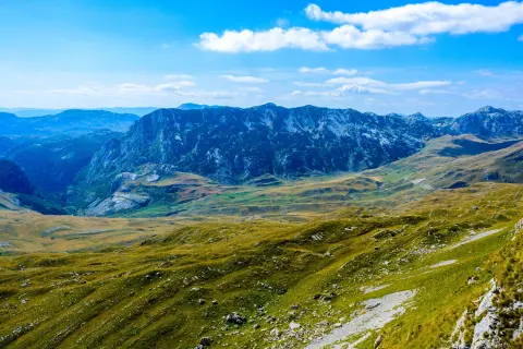
Cycling · Riblje jezero · Durmitor National Park
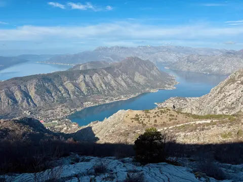
Cycling · Španjola Fortress · Lovćen National Park
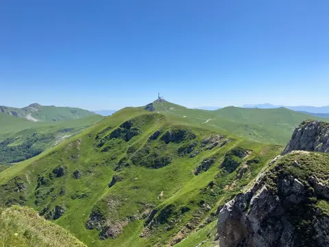
Hiking · Kolašin · Biogradska Gora National Park
Cycling · Šiško Lake
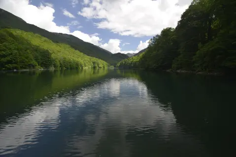
Hiking · Kolašin · Biogradska Gora National Park
Cycling · Bijelo Polje · Biogradska Gora National Park
Cycling · Šiško Lake · Biogradska Gora National Park
Hiking · Kolašin
Times and grades are estimates. Conditions change: check the weather and local information before you set out. Map and data sources →

