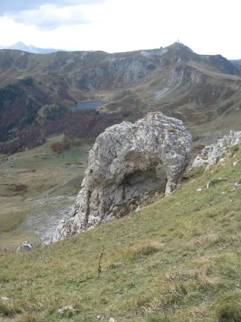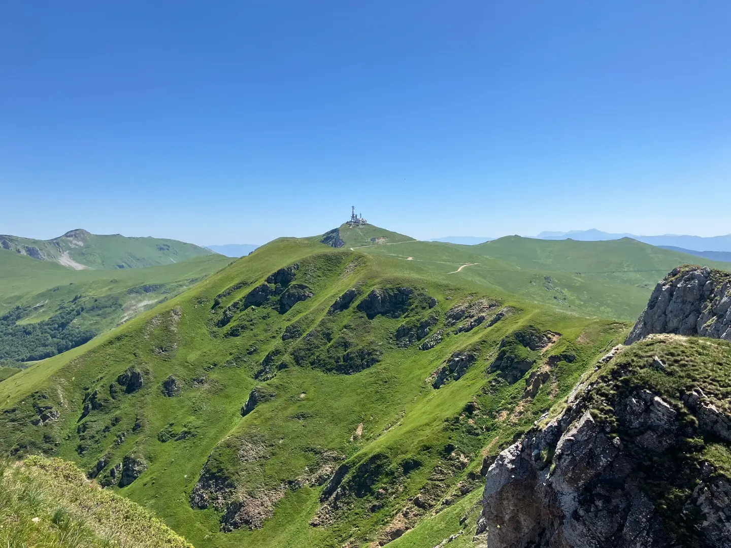
A one-way hiking tour through Biogradska Gora National Park to the summit of Crna Glava.
The hiking tour from Kolašin to Crna Glava is 22.9 km long with a total ascent of 1513 m. It passes through Biogradska Gora National Park, alongside lakes and peaks.
The trail begins at the parking lot in Kolašin, about 0.2 km from Kolašin, and leads in one direction to the summit of Crna Glava. It is 22.9 km long, with a total ascent of 1513 m and a descent of 337 m. The lowest point is at 945 m a.s.l., and the highest at 2131 m a.s.l.
It passes through Biogradska Gora National Park. The surface is mainly gravel road (59%) and dirt/forest trail (37%). The ascent leads past the peaks of Dragišin Brijeg (1803 m a.s.l.), Velika Čkala (1923 m a.s.l.) and Jagančarske Rupe (1853 m a.s.l.), and there are several drinking water springs along the way.
Near the trail are Pešića Lake (about 0.7 km from the trail) and Šiško Lake (about 3.5 km from the trail). Towards the end there is the Olomerska viewpoint (1969 m a.s.l.), and the trail ends at the summit of Crna Glava (2139 m a.s.l.). The estimated duration without breaks is 8 h 35 min. Due to its length and elevation gain, the trail is very demanding and intended for experienced hikers.
What this difficulty means
Very long or alpine terrain where hands may be needed, with few ways out. Only for experienced mountaineers in stable weather.
Mountain hiking grade SAC T1 (scale T1–T6).
Move along the profile to follow the route on the map; switch on 3D for the terrain.
↑ 1,513 m · ↓ 337 m · highest point 2,131 m
Along the way
Photos and short clips from points along the route – tap one to open it.
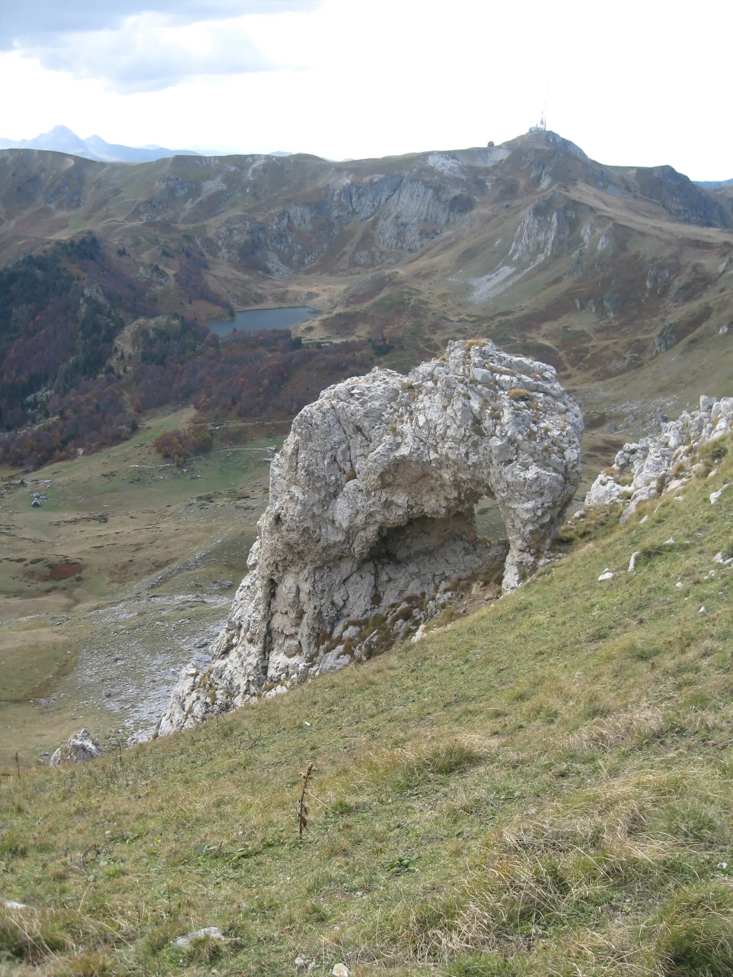
The final summit of the trail at 2139 m a.s.l., 23.0 km from the start.
A marked viewpoint at 1969 m a.s.l., 21.0 km from the start.
A lake near the trail, about 0.7 km from it.
A lake near the trail, about 3.5 km from it.
A peak at 1923 m a.s.l., 16.3 km from the start.
Start early in the morning; the tour takes more than 8 hours without breaks.
Bring enough water and food; there are several springs on the trail, but do not rely solely on them.
Wear hiking boots and layered clothing.
Check the weather forecast; at high elevations the weather can change quickly.
The trail is not a loop, so plan your return or transport in advance.
In the high-mountain section, fog, sudden weather changes and thunderstorms are possible. Check the forecast before setting out and monitor conditions on the ground. In an emergency, call 112.
Emergency number in Montenegro: 112.
Good to know
Best season
The trail is most suitable from late spring to early autumn. At the highest sections up to 2131 m a.s.l., snow and ice can persist outside of winter as well.
Getting there
The trail starts at the parking lot in Kolašin, about 0.2 km from Kolašin. The trail ends at Crna Glava, so plan your return or transport in advance.
The trail is 22.9 km long. The estimated duration without breaks is 8 h 35 min.
The total ascent is 1513 m and the total descent is 337 m.
On our scale it is very demanding and intended for experienced hikers. According to the SAC scale it is T1.
The trail is in Biogradska gora National Park, from Kolašin to the peak Crna Glava.
Cycling · Španjola Fortress · Durmitor National Park
Cycling · Šiško Lake
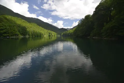
Hiking · Kolašin · Biogradska Gora National Park
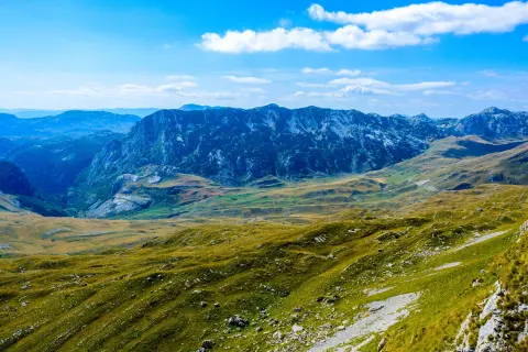
Cycling · Riblje jezero · Durmitor National Park
Hiking · Kolašin
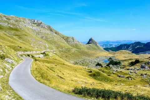
Cycling · Bijelo Polje · Durmitor National Park
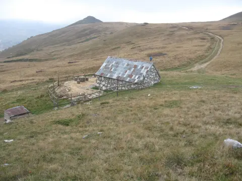
Cycling · Šiško Lake · Biogradska Gora National Park
Hiking · Kolašin
Times and grades are estimates. Conditions change: check the weather and local information before you set out. Map and data sources →