Gravel cycling route through Biogradska Gora with five lakes, two peaks and high-altitude views.
A demanding one-way cycling tour through Biogradska Gora National Park: 43.0 km, 1950 m of ascent, highest point 2094 m a.s.l. Mostly gravel road, suitable for gravel bikes.
The Two Peaks and Five Lakes route runs through Biogradska Gora National Park, connecting two peaks and five lakes. It starts at the Biogradsko jezero campsite at 1126 m a.s.l., where parking is available. In the opening section the route passes near Šiško Lake, while Pešića Lake is approximately 0.5 km from the trail.
The route is 43.0 km long and is ridden in one direction. Total ascent is 1950 m and descent 1168 m. The lowest point is at 1123 m a.s.l. and the highest at 2094 m a.s.l. The surface is mostly gravel road (85%), with some dirt and forest tracks (11%). Estimated riding time without breaks is 6 h 45 min. The route is rated demanding due to its length and elevation gain.
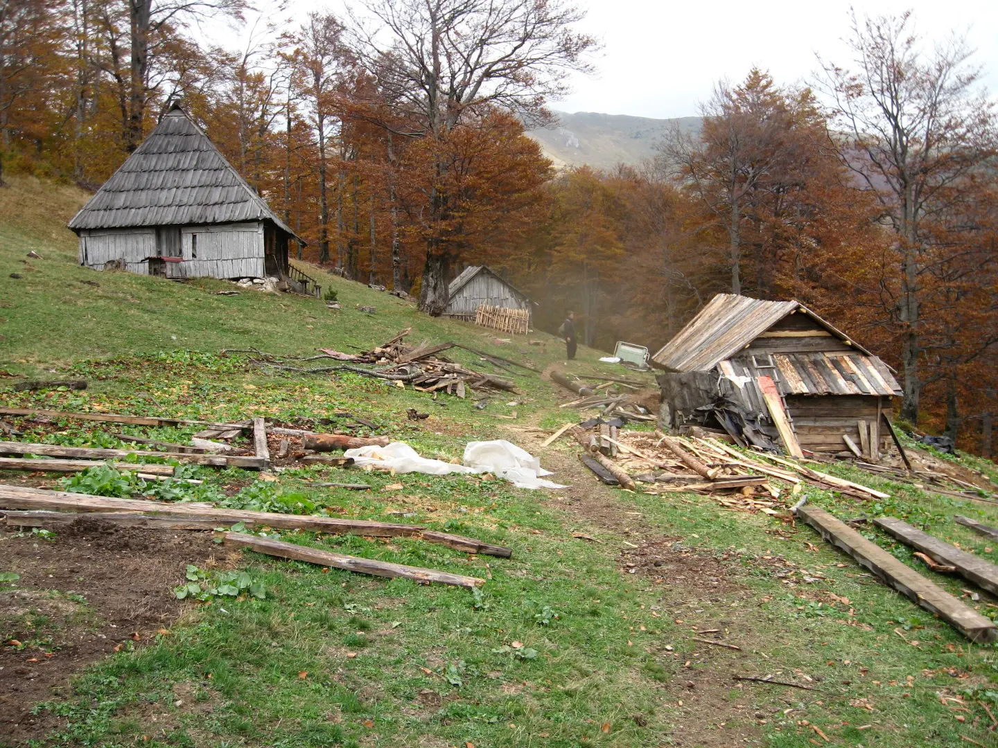
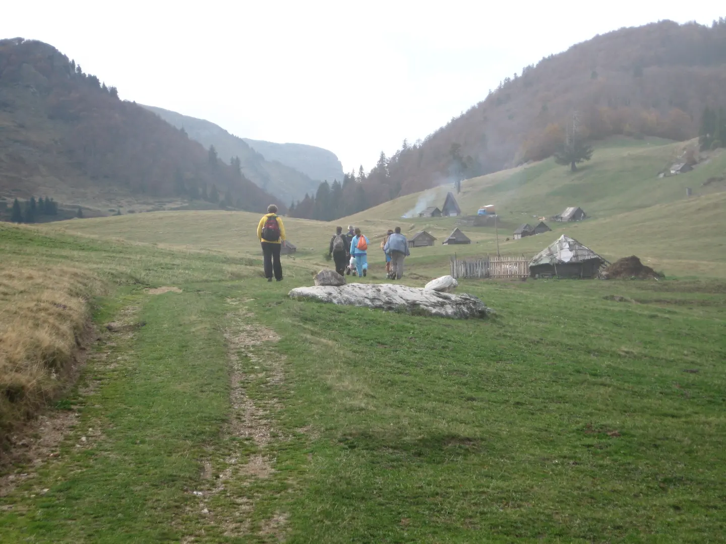
Along the way, forest areas, lake valleys and high-altitude ridges alternate. Near the trail are the peaks Zekova glava (2122 m a.s.l.) and Velika Čkala (1923 m a.s.l.), and at 33.1 km stands Planinarski dom Suvodo (1291 m a.s.l.). Towards the end of the route, at 41.0 km, is Katun Reljina Mountain Retreat (1691 m a.s.l.).
The route is intended for physically fit cyclists with a gravel or MTB bike. Most of it follows gravel roads, making the ride physically challenging.
What this difficulty means
Long distances, big climbs or technical sections. For fit, experienced riders.
Move along the profile to follow the route on the map; switch on 3D for the terrain.
↑ 1,950 m · ↓ 1,168 m · highest point 2,094 m
Along the way
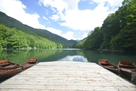
A lake near the start of the route, approximately 6.3 km from the starting point.
Starting point of the route and campsite in Biogradska Gora National Park at 1126 m a.s.l.
A lake approximately 0.5 km from the trail.
A peak at 2122 m a.s.l., 22.4 km from the start of the route.
A mountain lodge/cabin at 1691 m a.s.l., 41.0 km from the start.
Check the weather forecast before setting off; mountain conditions change quickly.
Bring enough water and food; there are no opportunities to buy supplies on the longer sections.
Use a proper gravel or MTB bike; the surface is mostly gravel road.
Start early, as the estimated riding time is 6 h 45 min without breaks.
Bring a GPS track or a reliable map.
Mountain conditions can change rapidly, especially at altitudes above 1500 m. Bring enough water, sun protection and extra clothing. In emergencies call 112.
Emergency number in Montenegro: 112.
Good to know
Best season
The most reliable period is from late spring to early autumn. Above 2000 m a.s.l. and in spring there may be snow.
Getting there
The route starts at the Biogradsko jezero campsite (1126 m a.s.l.), where parking is available. The nearest town is Mojkovac, approximately 6.7 km from the route.
The route is 43.0 km long.
The estimated duration is 6 h 45 min without breaks.
The trail is demanding due to its length, total ascent of 1950 m, and elevation difference.
No, the trail is one-way; the start and end are not at the same place.
3.3 km↑ 76 m50–70 min
Loop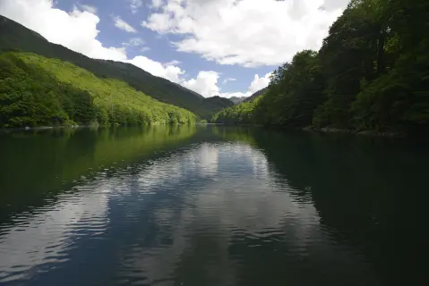
24.0 km↑ 978 m7½–10½ h

262 km↑ 6,918 m4–5 days
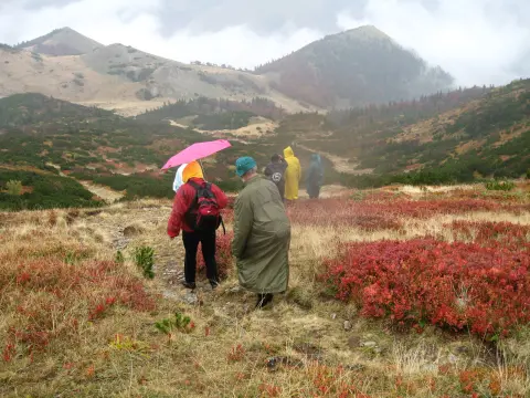
32.9 km↑ 1,691 m2–3 days
19.2 km↑ 157 m1½–2 h
3.3 km↑ 106 m60–85 min
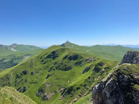
22.9 km↑ 1,513 m7½–10½ h
4.7 km↑ 505 m2–3 h
Times and grades are estimates. Conditions change: check the weather and local information before you set out.

Ask about Montenegro
Ask me about destinations, restaurants or activities.
