A light mountain walk through Biogradska Gora with a view from the Bendovac viewpoint.
The 3.3 km trail leads from the Bendovac viewpoint to Damjanovića Kolibe in Biogradska Gora National Park. It is easy, mostly on gravel, with gentle elevation changes and a beautiful mountain setting.
The trail begins at the Bendovac viewpoint (1,743 m a.s.l.) and leads southwest through Biogradska Gora National Park. The terrain is pleasant – about three quarters of the way is gravel, and the rest is an earthen trail. The ascent is gentle, only 106 m in total, so the trail is also suitable for less experienced hikers.
At about 1.1 km from the start you come to the Dolovi Lalevića katun (1,677 m a.s.l.), where there are also two drinking water fountains and a camp. At 1.5 km there is another viewpoint (1,748 m a.s.l.), and at 1.7 km you reach the highest point of the trail – the Bendovac viewpoint (1,770 m a.s.l.) with an open view of the mountain area.
The trail ends at Damjanovića Kolibe (1,701 m a.s.l.), 3.3 km from the start. Since it starts and ends at different places, you need to arrange a return or transport. It is recommended for families, beginners and all who want a short mountain tour without technical requirements.
What this difficulty means
Well-made paths with gentle gradients. Fine for families and anyone used to walking a few hours.
Move along the profile to follow the route on the map; switch on 3D for the terrain.
↑ 106 m · ↓ 147 m · highest point 1,772 m
Along the way
The highest point of the trail, 1.7 km from the start. On the board of Biogradska Gora National Park, Bendovac is described as the most beautiful viewpoint in the park – the view extends over the primeval forest and Biogradsko Lake.
At 1.1 km from the start there is a katun with huts, a camp and two nearby fountains. The park's cycling trail from Biogradsko Lake also ends here (6.26 km).
Two fountains at an altitude of about 1,675 m a.s.l., 1.1 km from the start, allow you to replenish water supplies during the walk.
The trail's endpoint at 1,701 m a.s.l. A mountain hut that marks the end of the tour.
The trail lies entirely within the protected area of Biogradska Gora, known for its preserved mountain nature.
The trail is one-way – arrange transport or a return from Damjanovića Kolibe in advance.
There are fountains on the trail, but always bring enough water, especially in warm weather.
Footwear with good grip is recommended due to earthy sections of the trail.
Start in the morning to avoid afternoon thunderstorms, common in the mountains in summer.
The trail is in Biogradska Gora National Park: the daily entrance fee is €4 per person (children under 15 do not pay), and parking at Biogradsko Lake is €1 for the whole day (paid with the entrance ticket).
Mountain weather can change quickly – follow the weather forecast and avoid the trail during thunderstorms. In case of emergency, call the European emergency number 112.
Emergency number in Montenegro: 112.
Good to know
Best season
The trail is most suitable from late spring to early autumn (June–October), while the mountain passes are passable and free of snow. Outside this period, snowfall is possible at altitudes above 1,600 m.
Getting there
Bendovac is reached from Biogradsko Lake: on foot along a marked trail (sign 2/20, about 1 h 45 min according to the signpost at the lake) or by bicycle along a gravel trail to the Dolovi Lalevića katun (6.26 km). The nearest larger town is Mojkovac (~8.1 km from the trail).
The trail is 3.3 km long and runs one-way, from the Bendovac viewpoint to Damjanovića Kolibe.
The estimated walking time without breaks is about 1 h 10 min.
The trail is rated as easy. The total ascent is 106 m, and the descent is 147 m, with no technical demands.
Yes, the trail is entirely located in Biogradska Gora National Park.
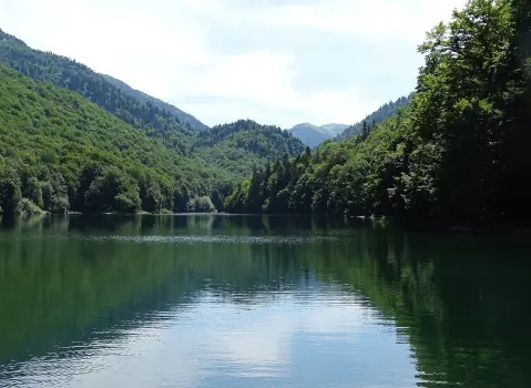
Cycling · Šiško Lake · Biogradska Gora National Park
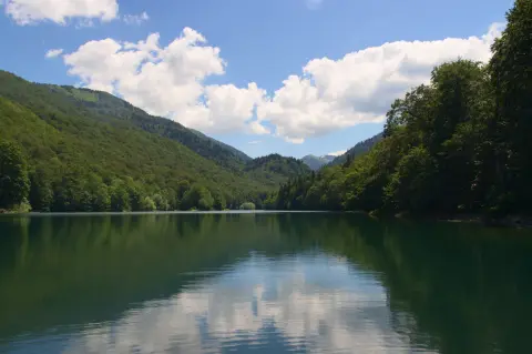
Cycling · Šiško Lake · Biogradska Gora National Park
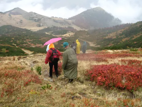
Hiking · Mojkovac · Biogradska Gora National Park
Cycling · Šiško Lake · Biogradska Gora National Park
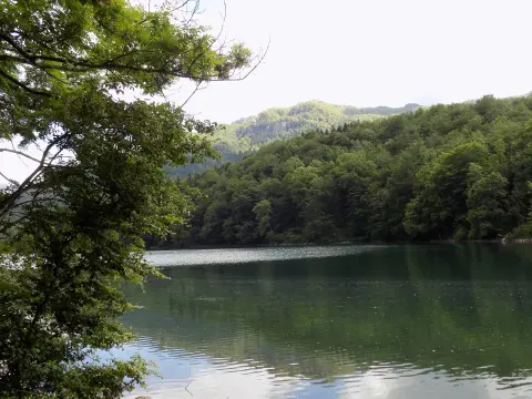
Hiking · Šiško Lake · Biogradska Gora National Park
Hiking · Kolašin · Biogradska Gora National Park
Hiking · Šiško Lake · Biogradska Gora National Park
Hiking · Šiško Lake · Biogradska Gora National Park
Times and grades are estimates. Conditions change: check the weather and local information before you set out. Map and data sources →

