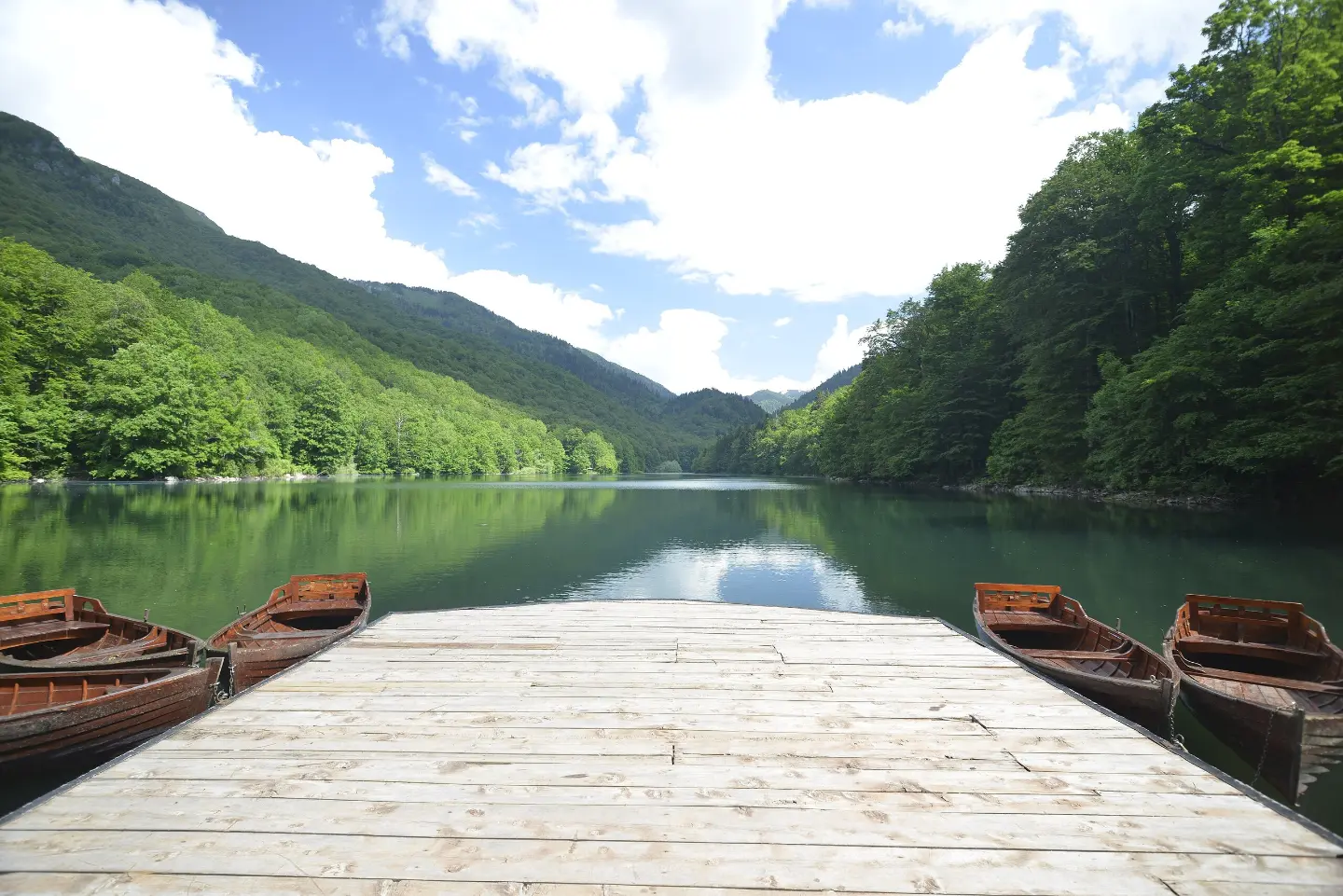
Circular, easy and marked walk through the forest of Biogradska Gora National Park.
The educational trail around Biogradsko Lake is a circular hiking tour 3.3 km long. It leads through the forest near the lake and is suitable for families and beginners.
The educational trail around Biogradsko Lake is a circular, easy hiking tour in Biogradska Gora National Park. It is 3.3 km long, with a total ascent of 76 m and descent of 74 m. The lowest point of the trail is at 1102 m a.s.l., and the highest at 1134 m a.s.l. The walk without breaks takes about 1 h.
The trail is marked and leads mostly on dirt and forest surface (88%), with one shorter section on asphalt or concrete (10%). Along the trail there are several shelters, two drinking water fountains, the “Biogradsko Jezero” camp and a parking area.
The tour is suitable for families with children, beginners and anyone who wants an easy walk through the forest by the lake. Because of its circular shape it starts and ends at the same place, so it is practical for a shorter excursion.
What this difficulty means
Well-made paths with gentle gradients. Fine for families and anyone used to walking a few hours.
Move along the profile to follow the route on the map; switch on 3D for the terrain.
↑ 76 m · ↓ 74 m · highest point 1,134 m
Along the way
The circular trail passes through the forest of Biogradska Gora National Park, along Biogradsko Lake.
Two fountains along the trail: at 1.6 km and at 3.3 km from the start.
There are five shelters along the trail for rest or protection from bad weather.
The “Biogradsko Jezero” camp and parking are located along the trail, close to the start and end of the tour.
Wear comfortable hiking or sports footwear; the trail is mostly dirt.
Bring enough water – there are two fountains along the trail, but do not plan them as your only source.
Before setting off check the weather forecast; in the forest by the lake it can be cool and damp.
Stay on the marked trail and do not leave it.
In summer start earlier in the morning or in the evening to avoid the greatest heat.
The trail is easy, but forest sections can be slippery after rain. During a thunderstorm take shelter in one of the shelters along the trail. In case of emergency call 112.
Emergency number in Montenegro: 112.
Good to know
Best season
The best period to visit is from late spring to early autumn. In winter and early spring snow, ice or mud are possible.
Getting there
The trail is circular and starts near Biogradsko Lake, where the “Biogradsko Jezero” camp and parking are located.
The trail is 3.3 km long.
Without breaks, the walk takes about 1 h.
The trail is easy, with a total ascent of 76 m and descent of 74 m.
Yes, it is marked with a green round sign with a white dot.
43.0 km↑ 1,950 m5½–8 h

262 km↑ 6,918 m4–5 days
24.0 km↑ 978 m7½–10½ h
32.9 km↑ 1,691 m2–3 days
19.2 km↑ 157 m1½–2 h
3.3 km↑ 106 m60–85 min
22.9 km↑ 1,513 m7½–10½ h
4.7 km↑ 505 m2–3 h
Times and grades are estimates. Conditions change: check the weather and local information before you set out.

Ask about Montenegro
Ask me about destinations, restaurants or activities.
