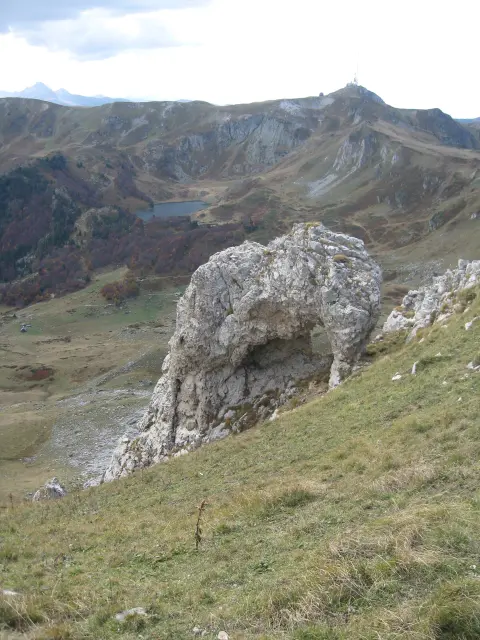
A one-way hiking trail through forested and high-mountain terrain to the summit of Crna Glava (8.3 km, 1,148 m of ascent).
A very demanding one-way hiking trail from Lubnice to the summit of Crna Glava. Length 8.3 km, total ascent 1,148 m, highest point 2,127 m a.s.l., and estimated duration 4 h 55 min without breaks.
The Lubnice – Crna Glava trail runs in one direction, with a length of 8.3 km, a total ascent of 1,148 m, and a descent of 13 m. It starts at approximately 989 m a.s.l. and climbs to the highest point at 2,127 m a.s.l. The estimated walking time without breaks is 4 h 55 min.
The surface is mostly dirt/forest path (79%), with gravel road (13%) and asphalt/concrete (8%). Along the way, forest sections, viewpoints, and open mountain terrain alternate.
On the route there are viewpoints Trubioc and Vidikovac Vodotres, water springs and a shelter in the initial section, followed by the summits Udovinjica, Siljevačka glava, Smiljeva glava, and Rogavac. The final ascent leads to the summit of Crna Glava (2,139 m a.s.l.).
The trail is very demanding and intended for experienced hikers. Due to the altitude and ascent, good physical fitness and hiking equipment are required.
What this difficulty means
Very long or alpine terrain where hands may be needed, with few ways out. Only for experienced mountaineers in stable weather.
Places on this route
Move along the profile to follow the route on the map; switch on 3D for the terrain.
↑ 1,148 m · ↓ 13 m · highest point 2,127 m
Along the way
Photos and short clips from points along the route — tap one to open it.
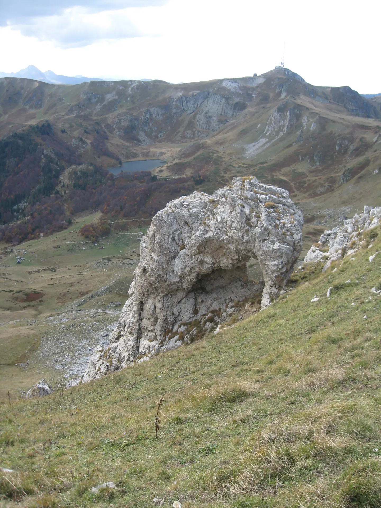
The trail destination, a summit at 2,139 m a.s.l., 8.3 km from the start.
A viewpoint at 1,052 m a.s.l., 0.5 km from the start of the trail.
A viewpoint at 1,166 m a.s.l., 1.6 km from the start.
At 1.8 km from the start there is a water spring with drinking water at 1,207 m a.s.l. and a shelter at 1,196 m a.s.l.
A summit at 1,950 m a.s.l., 6.3 km from the start.
Bring enough water; although there are springs at the start and at 1.8 km, in the higher sections rely on your own supplies.
Set off early in the morning, as the estimated walking time without breaks is 4 h 55 min.
Wear layered clothing, wind protection, and hiking footwear.
Check weather conditions before departure; at altitudes above 2,000 m the weather can change rapidly.
Bring trekking poles for the easier ascent of 1,148 m and a torch or GPS in case of fog.
At the higher sections of the trail, fog, strong wind, and sudden weather changes are possible. Follow the trail markings and do not leave the trail. In case of emergency, call 112.
Emergency number in Montenegro: 112.
Good to know
Best season
Due to the highest point of 2,127 m a.s.l., the trail is most accessible in the warmer part of the year, from late spring to early autumn. In winter conditions, snow can significantly hinder movement.
Getting there
The closest place to the start of the trail is Pešića jezero, about 6.4 km from the start. Berane is about 8.8 km from the trail.
The trail is 8.3 km long, with a total ascent of 1,148 m and a descent of 13 m.
The estimated duration without breaks is 4 h 55 min.
The trail is very demanding and intended for experienced hikers. The highest point is 2127 m a.s.l., and the lowest is 989 m a.s.l.
No; the trail is one-way, so the start and end are not at the same place.
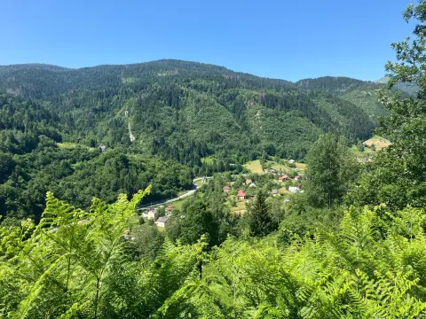
50.2 km↑ 1,943 m6–8½ h
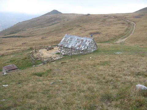
95.7 km↑ 3,723 m2–3 days
5.2 km↑ 408 m2½–3½ h

262 km↑ 6,918 m4–5 days
3.2 km↑ 163 m20–30 min
15.1 km↑ 297 m1½–2 h
44.4 km↑ 1,523 m4–5½ h
22.7 km↑ 1,426 m7–10 h
Times and grades are estimates. Conditions change: check the weather and local information before you set out.

Ask about Montenegro
Ask me about destinations, restaurants or activities.