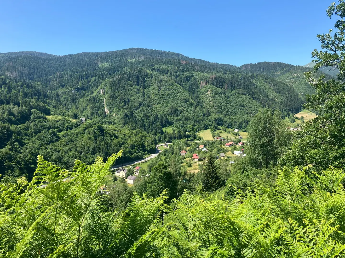
One-way bicycle trail through Biogradska Gora National Park, with mixed surface and a large climb.
Demanding one-way bicycle trail BA04 through Biogradska Gora National Park. Length 50,2 km, total ascent 1943 m, with asphalt, macadam and earth sections.
Biking Trail BA04 is a demanding one-way bicycle trail through Biogradska Gora National Park. The start is near Šiško Lake, and the trail runs between 985 m and 1942 m above sea level. The total length is 50,2 km, with 1943 m of ascent and 2181 m of descent. The estimated riding time without breaks is 7 h 15 min.
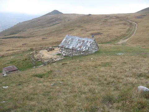
The surface is mixed: asphalt/concrete 55 %, macadam 36 % and earth/forest trail 9 %. Near the trail is Pešića Lake, and nearby are Berane and Mojkovac. On or near the trail there are mountain huts and cabins, including Katun Reljina Mountain Retreat about 2,1 km from the start, Suvodo Mountain Hut at 45,4 km and Pešića Homestead at 38,8 km.
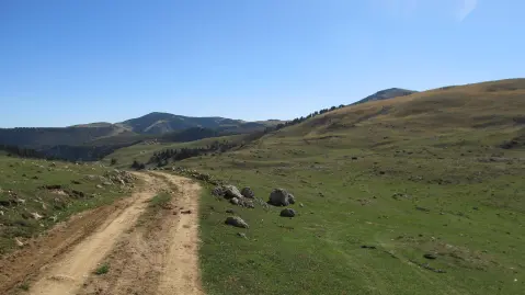
In lower and forested sections, macadam and earth sections dominate, while asphalt sections provide faster connections. Along the trail, fountains and springs have been recorded, but water availability depends on the season, so bring enough water. Due to its length and total ascent, the trail is intended for physically fitter cyclists with a mountain or trekking bike.
What this difficulty means
Long distances, big climbs or technical sections. For fit, experienced riders.
Move along the profile to follow the route on the map; switch on 3D for the terrain.
↑ 1,943 m · ↓ 2,181 m · highest point 1,942 m
Along the way
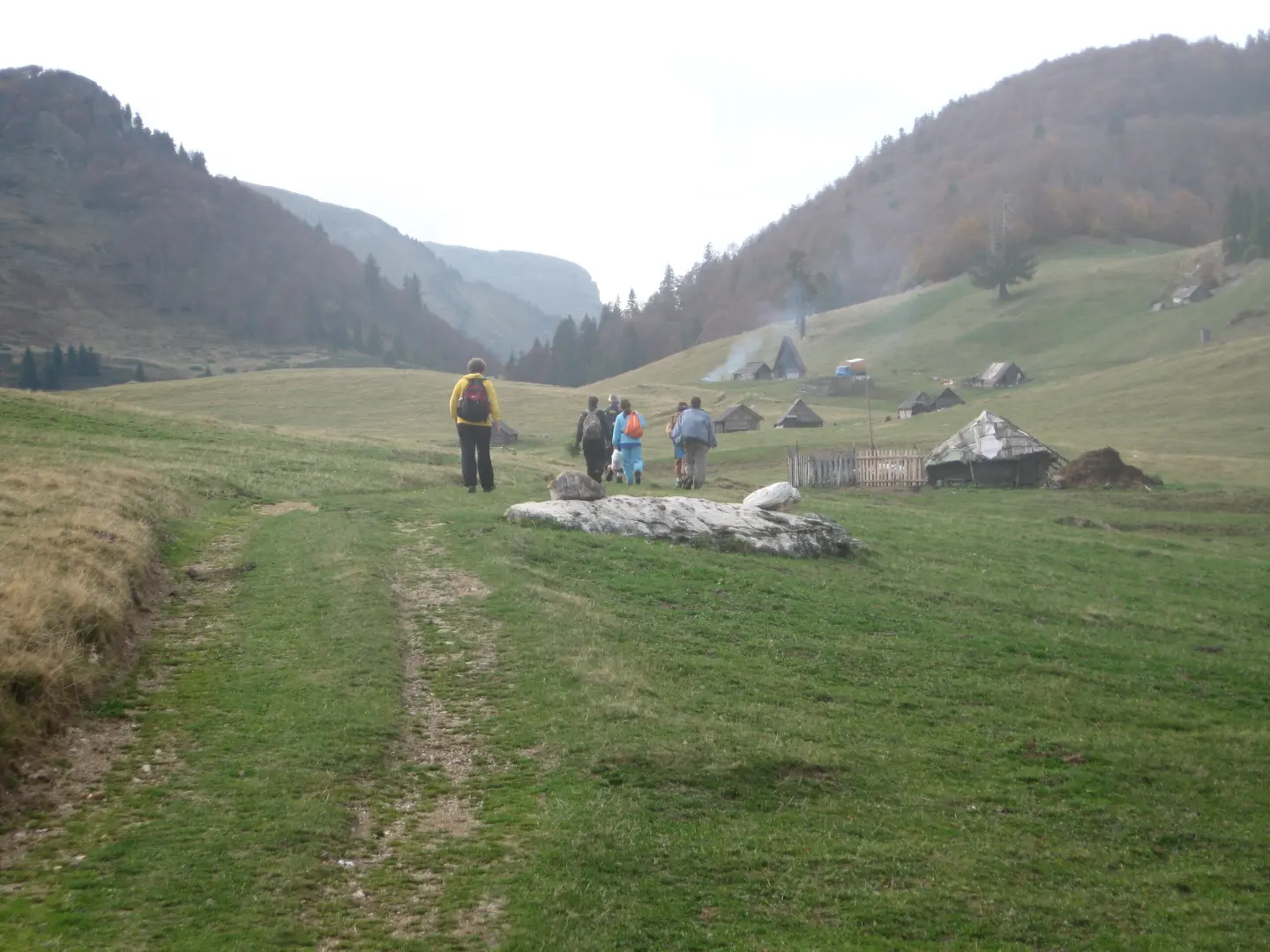
The nearest place to the start of the trail, about 2,2 km from the beginning.
Near the trail, about 2,8 km from the route.
Mountain hut or cabin at 1691 m above sea level, about 2,1 km from the start of the trail.
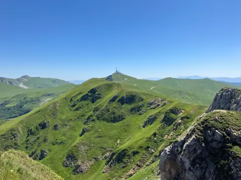
Peak at 1902 m above sea level, about 8,3 km from the start of the trail.
The trail passes through Biogradska Gora National Park.
Demanding trail: set aside a full day and start early, especially in summer.
Bring enough water and food; fountains and springs exist, but do not rely on them alone.
Use a mountain or trekking bike because of the macadam and earth sections.
Check the weather forecast and be prepared for fog or thunderstorms in the mountain area.
Dress in layers and bring spare equipment; the altitude reaches 1942 m.
This is a mountain bike trail with significant elevation gain. In the mountain area, the weather changes quickly, and fog and thunderstorms are possible. In case of an accident, call 112.
Emergency number in Montenegro: 112.
Good to know
Best season
Due to the highest point of 1942 m above sea level, the most favorable period is from late spring to early autumn, when the trails are usually more passable and the weather is more stable.
Getting there
The start of the trail is near Šiško Lake. The nearest larger towns are Berane, about 6,6 km away, and Mojkovac, about 9,7 km from the trail.
The trail is 50,2 km long and is ridden in one direction.
The estimated duration without breaks is 7 h 15 min.
The trail is demanding: total ascent is 1943 m, total descent 2181 m, and the highest point is 1942 m above sea level.
The surface is mixed: asphalt/concrete 55%, macadam 36%, and dirt/forest trail 9%.
43.0 km↑ 1,950 m5½–8 h

262 km↑ 6,918 m4–5 days
32.9 km↑ 1,691 m2–3 days
95.7 km↑ 3,723 m2–3 days

399 km↑ 9,352 m5–8 days
41.4 km↑ 1,496 m2–3 days

143 km↑ 5,436 m6–9 days
22.9 km↑ 1,513 m7½–10½ h
Times and grades are estimates. Conditions change: check the weather and local information before you set out.

Ask about Montenegro
Ask me about destinations, restaurants or activities.
