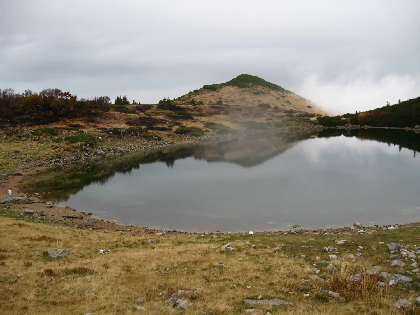
Easy gravel trail through Biogradska Gora National Park with viewpoints and water fountains
Biking Trail BA05B is an easy cycling trail in Biogradska Gora National Park, 15.1 km long. It runs mostly on gravel and forest paths, with 297 m of ascent and 1094 m of descent.
Biking Trail BA05B is a one-way cycling trail located in Biogradska Gora National Park. It is 15.1 km long, with a total ascent of 297 m and descent of 1094 m. The estimated riding time without stops is 1 h 35 min, and the difficulty is easy.
The starting point is at the Olomerska viewpoint, at 1969 m a.s.l. The highest point of the trail is 2094 m a.s.l., and the lowest is 1164 m a.s.l. The surface is mostly gravel (54%), followed by dirt/forest path (23%) and asphalt/concrete (23%). The trail is marked.
Along the trail there are several water fountains: at 2.0 km, 2.2 km, 2.9 km, 8.6 km (Ledni izvori) and 12.3 km from the start. A shelter is located at 13.0 km. The trail passes the Žuta platija viewpoint and the Udovinjica peak at 10.9 km, as well as the Kamlja peak at 13.5 km.
Due to the significant descent and predominantly gravel surface, the trail is pleasant for recreational riders with basic experience. Bring enough water and check the weather conditions before setting off.
What this difficulty means
Mostly flat or gentle riding on good surfaces. Fine for occasional riders and families.
Places on this route
Move along the profile to follow the route on the map; switch on 3D for the terrain.
↑ 297 m · ↓ 1,094 m · highest point 2,094 m
Along the way
The starting point of the trail at 1969 m a.s.l.
Water fountain with drinking water at 8.6 km from the start, at 1519 m a.s.l.
Viewpoint (1450 m a.s.l.) and peak (1456 m a.s.l.) at 10.9 km from the start.
A shelter along the trail at 13.0 km from the start, at 1354 m a.s.l.
Peak at 13.5 km from the start, at 1365 m a.s.l.
Use a gravel or MTB bike due to the gravel and dirt surface.
Bring enough water; fountains are located at several points along the trail.
The trail is one-way, so arrange transport from the end of the trail in advance.
Start early – the trail runs at 1164–2094 m a.s.l. and the weather can change quickly.
Bring a spare tube, pump and basic tools.
Check the forecast and avoid thunderstorms; in emergencies call 112.
The trail runs at altitudes from 1164 m to 2094 m, where rapid weather changes, fog and thunderstorms are possible. Monitor the forecast and do not set out in bad conditions. In case of an accident, call the emergency number 112.
Emergency number in Montenegro: 112.
Good to know
Best season
The most favourable period for riding is late spring, summer and early autumn. At higher sections, snow may persist until late spring.
Getting there
The trail starts at the Olomerska viewpoint, in Biogradska Gora National Park. The nearest location to the start is Pešića jezero, about 0.7 km from the starting point.
The trail is 15.1 km long.
The estimated duration without breaks is 1 h 35 min.
It is easy, with 297 m of ascent and 1094 m of descent.
Gravel 54 %, dirt/forest trail 23 %, asphalt/concrete 23 %.
43.0 km↑ 1,950 m5½–8 h
22.9 km↑ 1,513 m7½–10½ h

143 km↑ 5,436 m6–9 days
32.9 km↑ 1,691 m2–3 days
41.4 km↑ 1,496 m2–3 days
7.3 km↑ 722 m1½–2 h
14.2 km↑ 269 m1½–2 h

262 km↑ 6,918 m4–5 days
Times and grades are estimates. Conditions change: check the weather and local information before you set out.

Ask about Montenegro
Ask me about destinations, restaurants or activities.
