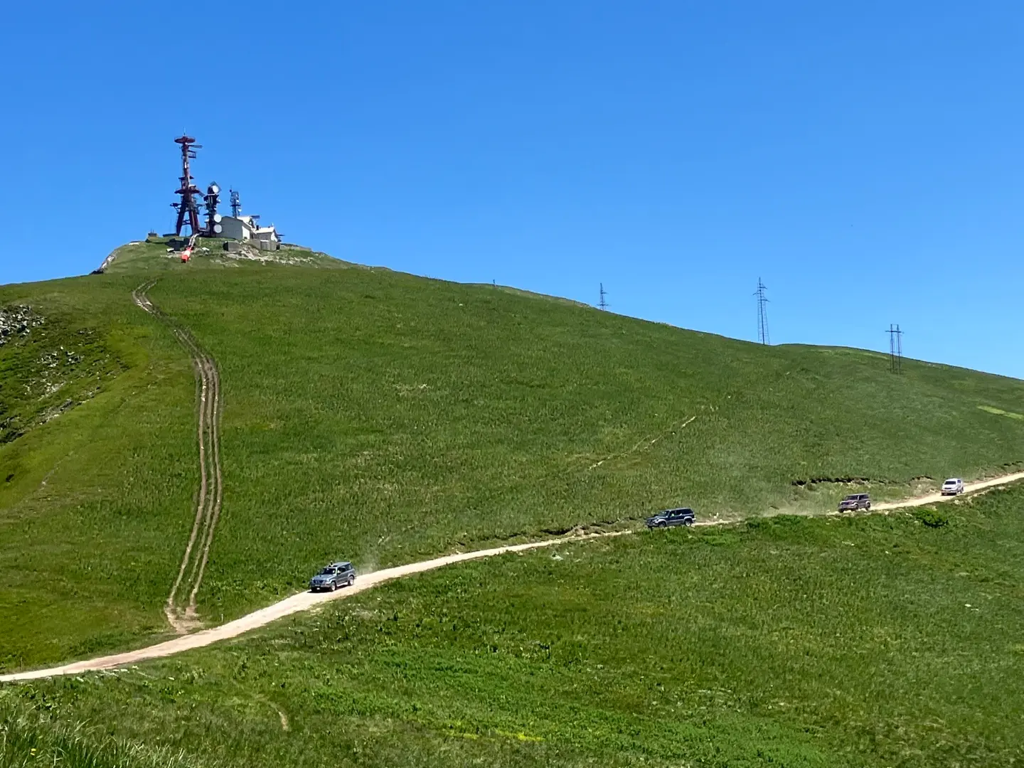
Gravel descent from the mountain plateaus of Biogradska gora to the valley, past viewpoints and drinking fountains.
Trail BA05A runs 14,2 km over gravel and asphalt through Biogradska gora National Park. Mostly descending, with a total descent of 886 m, it is suitable for recreational cyclists looking for a mountain experience without great effort.
The trail starts at an elevation of about 2.073 m, right next to the Olomerska viewpoint, from where there is a wide view of the surrounding mountains. Already in the first kilometre you pass another viewpoint at 2.059 m a.s.l. and near the Zekova glava peak (2.122 m a.s.l.).
From that point the trail gradually descends along gravel roads through the national park. Around the 7th kilometre you are at Vranjak Mountain Lodge (1.763 m a.s.l.), where four drinking-water fountains are also available – a handy opportunity for a break.
In the final part of the trail, at about 12,8 km, there is another drinking fountain, and immediately after it a waterfall at 1.551 m a.s.l. – a fine finish before arriving in the valley at 1.347 m a.s.l.
The surface is 66 % gravel and 30 % asphalt or concrete. The trail is one-way and rated easy, so it suits recreational riders with basic gravel or MTB equipment.
What this difficulty means
Mostly flat or gentle riding on good surfaces. Fine for occasional riders and families.
Places on this route
Move along the profile to follow the route on the map; switch on 3D for the terrain.
↑ 269 m · ↓ 886 m · highest point 2,073 m
Along the way
Right at the start of the trail, at 1.969 m a.s.l., there is a panoramic view of the Biogradska gora massif – an excellent spot for a photograph before setting off.
The summit at 2.122 m a.s.l. is only 1,3 km from the start. Although the trail does not go to the very top, passing near it gives a sense of the height from which this ride begins.
At about the 7th kilometre, Vranjak Mountain Lodge and several drinking-water fountains are located – an ideal midpoint for a short rest.
At 13,1 km from the start, at 1.551 m a.s.l., the trail passes a waterfall that is a natural end to the mountain adventure before the descent into the valley.
The entire trail passes through the protected area of the national park, surrounded by primeval forest and mountain scenery.
The trail is one-way – arrange transport or a second bicycle at the finish before setting off.
A gravel or MTB bike with good suspension is recommended, as two-thirds of the route is gravel.
There are drinking-water fountains halfway along the trail, but carry enough water for the first 6–7 km.
Start in the morning to avoid afternoon thunderstorms, which are common at mountain elevations above 2.000 m.
Wear a windbreaker – at the start the elevation is about 2.073 m and temperatures can be noticeably lower than in the valley.
Check the condition of the gravel after rainy periods, as roads can be slippery or damaged.
The trail runs through the mountains at elevations up to 2.073 m a.s.l., where weather conditions can change quickly – afternoon thunderstorms are common. In an emergency, call 112.
Emergency number in Montenegro: 112.
Good to know
Best season
The optimal period for riding is from June to September. At these altitudes snow can remain until late spring, and fog and rain are common in the autumn months.
Getting there
The start of the trail is about 0,7 km from Pešića Lake in Biogradska gora National Park. The lake can be reached by car, and parking is available nearby.
The trail is 14,2 km long and runs in one direction, from an elevation of about 2.073 m to 1.347 m a.s.l.
Estimated duration without breaks is 1 h 30 min. With breaks at viewpoints or at the mountain hut, count on longer.
The trail is rated easy. Total descent is 886 m, and ascent only 269 m, making the ride predominantly downhill.
The trail is located in the mountains at elevations between 1.347 m and 2.073 m above sea level, so it is most suitable from June to September, when the roads are passable and free of snow.
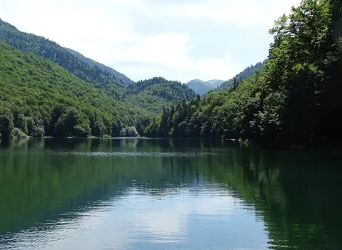
Cycling · Šiško Lake · Biogradska Gora National Park
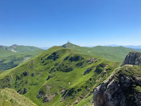
Hiking · Kolašin · Biogradska Gora National Park

Hiking · Crno Jezero · Durmitor National Park
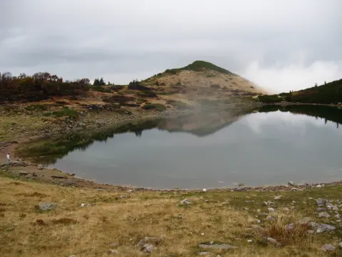
Cycling · Pešića Lake · Biogradska Gora National Park
Hiking · Mojkovac · Biogradska Gora National Park
Hiking · Šiško Lake · Biogradska Gora National Park
Cycling · Pešića Lake · Biogradska Gora National Park
Cycling · Šiško Lake · Biogradska Gora National Park
Times and grades are estimates. Conditions change: check the weather and local information before you set out. Map and data sources →

