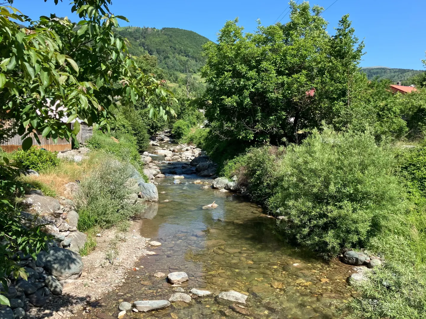
A shorter moderate hiking tour in the area around Berane, with viewpoints, drinking fountains, and the peak of Udovinjica.
A moderate hiking trail in the area around Berane, 5.2 km long, leading through mixed terrain to viewpoints, drinking fountains, and the peak of Udovinjica. The total ascent is 408 m, and the estimated duration without breaks is 2 h 50 min.
Countryside Hiking Trail CS7 is a one-way hiking tour, 5.2 km long. The lowest point is at 989 m a.s.l., and the highest at 1415 m a.s.l. The total ascent is 408 m, and the descent is 415 m. The estimated walking time without breaks is 2 h 50 min.
The terrain is mixed: 71% dirt/forest trails, 20% asphalt/concrete, and 9% gravel road. The trail is of moderate difficulty. Shortly after the start, you reach the Trubioc viewpoint (0.2 km), followed by the Vodotres viewpoint (1.3 km) and a shelter (1.5 km). Next come a drinking fountain (1.6 km), the peak of Udovinjica (2.2 km), a spring (2.7 km), and Kljajića točak (3.2 km). Near the end of the trail there is another drinking fountain.
The trail is suitable for hikers with a basic level of fitness. Due to sections on asphalt and gravel road, caution and appropriate footwear are recommended.
What this difficulty means
Longer or steeper sections and uneven ground. You need basic fitness, sturdy shoes and a little mountain experience.
Places on this route
Move along the profile to follow the route on the map; switch on 3D for the terrain.
↑ 408 m · ↓ 415 m · highest point 1,415 m
Along the way
A viewpoint at 0.2 km from the start of the trail, at 1052 m a.s.l.
A viewpoint at 1.3 km from the start of the trail, at 1166 m a.s.l.
A shelter at 1.5 km from the start of the trail, at 1196 m a.s.l.
A peak at 2.2 km from the start of the trail, at 1456 m a.s.l.
Drinking fountains are located at 1.6 km (1207 m a.s.l.), 3.2 km (Kljajića točak, 1320 m a.s.l.) and 5.2 km (988 m a.s.l.), and a spring at 2.7 km (1396 m a.s.l.).
Bring enough water even though there are drinking fountains along the trail.
Wear hiking footwear due to the mixed surface (dirt, asphalt, gravel road).
Allow approximately 2 h 50 min of walking without breaks; plan your return or transport as the trail is not a loop.
Check the weather forecast and set out early, especially in summer.
It may be colder at higher elevations; bring layered clothing.
Inform someone of your plans as the mobile signal in the mountains may be weak.
The trail leads through hilly terrain with ascents and descents. In the event of fog or thunder, stop your ascent and take shelter in a safe place. The emergency number in Montenegro is 112.
Emergency number in Montenegro: 112.
Good to know
Best season
The best period is from late spring to early autumn, when the trails are usually dry and free of snow. In winter and early spring, the higher sections may be icy or muddy.
Getting there
The start of the trail is approximately 6.1 km from Pešića jezero. Berane is approximately 8.8 km from the trail.
The trail is 5.2 km long and leads in one direction.
The estimated duration without breaks is 2 h 50 min.
The difficulty is moderate. The total ascent is 408 m, and the descent is 415 m.
The lowest point is at 989 m a.s.l., and the highest is at 1415 m a.s.l.

262 km↑ 6,918 m4–5 days
50.2 km↑ 1,943 m6–8½ h
95.7 km↑ 3,723 m2–3 days
8.3 km↑ 1,148 m4–6 h
3.2 km↑ 163 m20–30 min
15.1 km↑ 297 m1½–2 h
44.4 km↑ 1,523 m4–5½ h
22.7 km↑ 1,426 m7–10 h
Times and grades are estimates. Conditions change: check the weather and local information before you set out.

Ask about Montenegro
Ask me about destinations, restaurants or activities.
