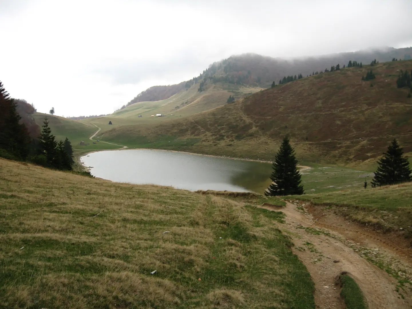
A very demanding hiking trail from Berane to Šiško jezero in Biogradska gora, with 1426 m of ascent.
The Berane – Šiško jezero hiking trail runs one way through Biogradska gora National Park. The length is 22.7 km, total ascent 1426 m, and estimated duration without breaks 8 h 30 min; the trail is very demanding and intended for experienced hikers.
The Berane – Šiško jezero hiking trail runs one way through Biogradska gora National Park. The length is 22.7 km, with a total ascent of 1426 m and a descent of 453 m. The lowest point of the trail is at 693 m a.s.l., and the highest at 1822 m a.s.l. The estimated duration without breaks is 8 h 30 min.
The surface is mixed: asphalt/concrete 39%, gravel road 39%, and dirt/forest trail 22%. The trail is intended for experienced hikers and is rated as very demanding. At 9.4 km from the start, it passes by the peak Vuča (1412 m a.s.l.).
The trail passes approximately 0.1 km from Šiško jezero. Nearby are also Pešića jezero (about 4.9 km) and Mojkovac (about 9.9 km). Along the route there are several water fountains and water points, including Sijarska voda at 19.7 km from the start.
What this difficulty means
Very long or alpine terrain where hands may be needed, with few ways out. Only for experienced mountaineers in stable weather.
Move along the profile to follow the route on the map; switch on 3D for the terrain.
↑ 1,426 m · ↓ 453 m · highest point 1,822 m
Along the way
The trail passes about 0.1 km from Šiško jezero, in Biogradska gora National Park.
At 18.6 km from the start, the trail passes by a viewpoint at 1852 m a.s.l.
At 9.4 km from the start, the trail passes by the peak Vuča at 1412 m a.s.l.
Along the trail there are several water fountains and water points, including Sijarska voda at 1726 m a.s.l.
Set off early in the morning; the trail takes about 8 h 30 min without breaks, so plan for a full day.
Wear sturdy hiking boots and bring layered clothing; the sections are demanding.
Although there are several water fountains along the trail, bring enough water and food.
Check the weather forecast; at higher sections fog and thunderstorms can arrive quickly.
Since the trail is one way, arrange transport or your return from the end point in advance.
The trail is very demanding and long; plan your hike so you are not caught in the dark. At higher sections, fog and thunderstorms are possible, so monitor the weather forecast. In emergencies call 112.
Emergency number in Montenegro: 112.
Good to know
Best season
The best period for hiking is from late spring to early autumn. At higher sections of the trail, snow can persist until late spring, and in winter the trail is demanding.
Getting there
The start of the trail is reached from Berane; the starting point is about 1.3 km from Berane.
The trail is 22.7 km long.
The estimated duration without breaks is 8 h 30 min. With breaks, allow for more time.
The trail is very demanding and intended for experienced hikers. The total ascent is 1426 m.
The surface is mixed: asphalt/concrete 39%, gravel road 39%, and dirt/forest trail 22%. The trail passes through Biogradska gora National Park.
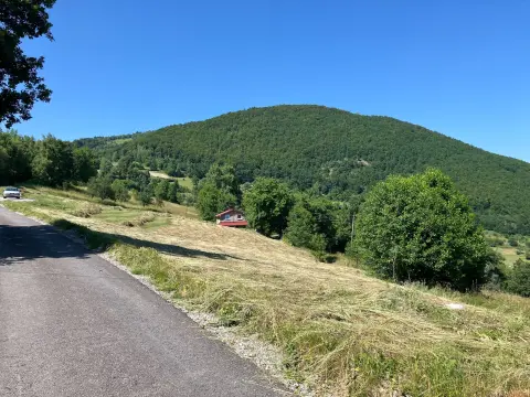
Cycling · Berane
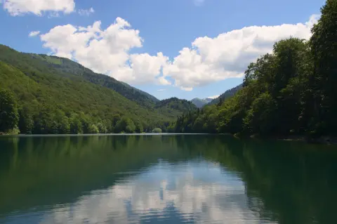
Cycling · Šiško Lake · Biogradska Gora National Park
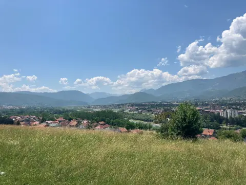
Hiking · Berane
Hiking · Berane
Hiking · Berane
Cycling · Berane
Cycling · Berane
Climbing · Berane
Times and grades are estimates. Conditions change: check the weather and local information before you set out. Map and data sources →

