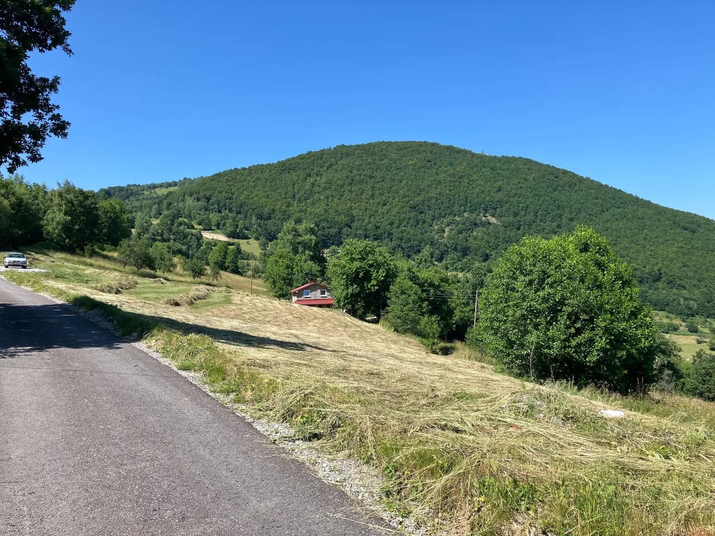
A demanding cycling route 44.2 km long with 1794 m of ascent and an asphalt and gravel surface.
The BA03 cycling route runs one way for 44.2 km. With a total ascent of 1794 m and a surface of 73% asphalt/concrete and 27% gravel, the route is demanding and suitable for well-prepared cyclists.
The BA03 cycling route starts near Berane and runs one way through a hilly area. The total length is 44.2 km, with a total ascent of 1794 m and a descent of 1675 m. The lowest point is at 656 m a.s.l., and the highest at 1513 m a.s.l.
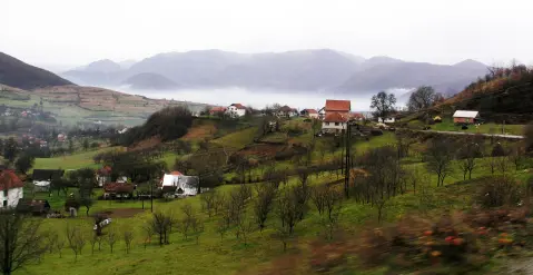
The surface is mostly asphalt and concrete (73%), while gravel accounts for 27% of the route. Along the route there are several drinking water fountains, and nearby are Šiško Lake and Pešića Lake. On some sections there are views of the surrounding peaks, including Đevojačko kolo, Vuča and Borovača.
The route is demanding due to its length and elevation difference. The planned riding time without breaks is 6 h 30 min, so the route is intended for cyclists with good physical fitness.
What this difficulty means
Long distances, big climbs or technical sections. For fit, experienced riders.
Places on this route
Move along the profile to follow the route on the map; switch on 3D for the terrain.
↑ 1,794 m · ↓ 1,675 m · highest point 1,513 m
Along the way
A lake near the route, about 6.9 km from the trail.
A lake near the route, about 7.5 km from the trail.
A peak at 1412 m a.s.l., 34.3 km from the start of the route.
A peak at 796 m a.s.l., 23.3 km from the start of the route.
A viewpoint at 1187 m a.s.l., 38.7 km from the start of the route.
Start early because riding without breaks takes about 6 h 30 min.
Bring enough water and food even though there are several drinking water fountains along the route.
Check weather conditions because the route reaches 1513 m a.s.l.
Prepare your bike for mixed surfaces: 73% asphalt/concrete and 27% gravel.
Bring basic tools and a spare inner tube.
The route leads through hilly terrain and reaches 1513 m a.s.l. In case of fog, thunderstorms or strong wind, do not go onto exposed ridges. In an emergency, call 112.
Emergency number in Montenegro: 112.
Good to know
Best season
The best period for riding is from late spring to early autumn, when the higher sections are mostly free of snow. In winter and early spring, the route can be wet and slippery.
Getting there
The start of the route is about 1.3 km from Berane, so the starting point is reached from Berane.
The route is 44.2 km long and runs one way.
The planned duration without breaks is 6 h 30 min.
The trail is demanding, with a total ascent of 1794 m and descent of 1675 m.
The surface is 73% asphalt/concrete and 27% gravel.
22.7 km↑ 1,426 m7–10 h

262 km↑ 6,918 m4–5 days
27.2 km↑ 1,216 m8–11½ h
13.2 km↑ 1,113 m5½–8 h
22.8 km↑ 1,330 m7½–10½ h
22.2 km↑ 359 m1½–2 h
7.6 km↑ 642 m1–1½ h
Times and grades are estimates. Conditions change: check the weather and local information before you set out.

Ask about Montenegro
Ask me about destinations, restaurants or activities.
