A demanding one-way hiking trail, 13.2 km long, with 1,113 m of ascent and scenic viewpoints.
Countryside Hiking Trail CS3 is a demanding one-way hiking trail, 13.2 km long, with a total ascent of 1,113 m and descent of 652 m. Estimated duration without breaks: 6 h 40 min.
Countryside Hiking Trail CS3 is a demanding one-way hiking trail, 13.2 km long. It starts near Berane, approximately 4.4 km from the town, and follows a combination of dirt/forest paths (54%) and asphalt/concrete (43%). The trail is marked.
Over the course of the hike, a total ascent of 1,113 m and descent of 652 m are covered. The lowest point is at 867 m a.s.l., and the highest at 1,471 m a.s.l. Drinking water fountains are located at 0.4 km, 2.1 km, 4.1 km, and 10.2 km from the start.
In the second part of the ascent, at 9.4 km, the trail passes a shelter at 1,390 m a.s.l. The trail then leads to the viewpoint Vidikovac Vijenac (1,441 m a.s.l.) at 12.3 km and the summit of Šestarevac (1,440 m a.s.l.) at 12.7 km.
Due to its length, duration, and total ascent, the trail is intended for hikers with good physical fitness. Since it is not a loop, plan your return or transportation in advance.
What this difficulty means
Steep, rocky or exposed passages and a long day out. For fit, sure-footed hikers with mountain experience.
Places on this route
Move along the profile to follow the route on the map; switch on 3D for the terrain.
↑ 1,113 m · ↓ 652 m · highest point 1,471 m
Along the way
A viewpoint at 1,441 m a.s.l., located 12.3 km from the start of the trail.
A summit at 1,440 m a.s.l., located 12.7 km from the start, in the final section of the trail.
A shelter at 1,390 m a.s.l., located 9.4 km from the start of the trail.
There are four drinking water fountains on the trail: at 0.4 km, 2.1 km, 4.1 km, and 10.2 km from the start.
Bring enough water; there are fountains on the trail, but refilling is important on longer ascents.
Start early – the estimated duration without breaks is 6 h 40 min, and the total ascent is 1,113 m.
Wear layered clothing and sun protection; the highest point is at 1,471 m a.s.l.
Due to 43% asphalt/concrete, your footwear should also be comfortable on hard surfaces.
Check the weather forecast and avoid the ridge during thunderstorms or fog.
Since the trail is one-way, arrange your return or transportation in advance.
This is a demanding mountain hiking trail. Before setting off, check the weather forecast; in case of fog or thunderstorms, do not linger on exposed ridges. For emergencies in Montenegro, call 112.
Emergency number in Montenegro: 112.
Good to know
Best season
The best period for this trail is from late spring to early autumn. At higher sections above 1,400 m, it can be cold and windy in spring and late autumn.
Getting there
The nearest place to the start of the trail is Berane, approximately 4.4 km away. The trailhead is outside the town.
The trail is 13.2 km long.
The estimated duration without breaks is 6 h 40 min.
The trail is demanding; the total ascent is 1113 m, and the highest point is at 1471 m above sea level.
Yes, there are drinking water fountains on the trail at 0.4 km, 2.1 km, 4.1 km and 10.2 km from the start.
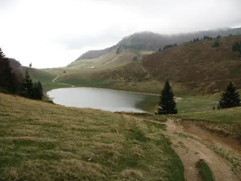
22.7 km↑ 1,426 m7–10 h
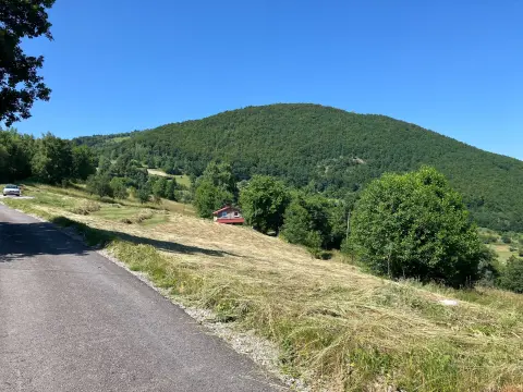
44.2 km↑ 1,794 m5½–8 h
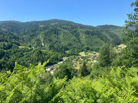
50.2 km↑ 1,943 m6–8½ h

262 km↑ 6,918 m4–5 days
7.6 km↑ 642 m1–1½ h
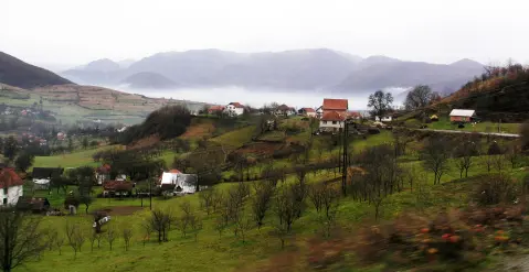
22.2 km↑ 359 m1½–2 h
22.8 km↑ 1,330 m7½–10½ h
Times and grades are estimates. Conditions change: check the weather and local information before you set out.

Ask about Montenegro
Ask me about destinations, restaurants or activities.
