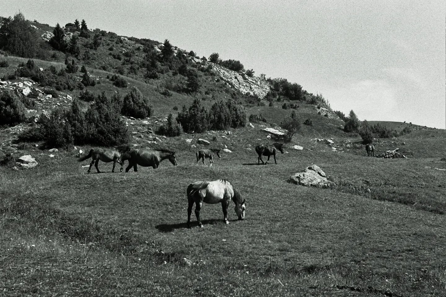
A very demanding hiking tour up to 1857 m a.s.l. with several water fountains along the route.
A very demanding one-way hiking trail: 22.8 km, 1330 m of ascent and 751 m of descent, with the highest point at 1857 m a.s.l. It starts near Berane and passes by peaks and water fountains.
The Vinicka – Jelovica trail is 22.8 km long and runs in one direction. The lowest point is at 689 m a.s.l. and the highest at 1857 m a.s.l. The total ascent is 1330 m and the total descent 751 m. The estimated duration without breaks is 8 h 45 min, so it should be planned as a full-day tour.
The section is a combination of asphalt and concrete (55%), gravel road (36%), and dirt and forest paths (9%). At 10.2 km from the start is the peak Turska karaula (1361 m a.s.l.), and at 13.5 km the peak Tureća glava (1850 m a.s.l.). Near the trail are Pešića jezero (about 2.9 km) and Šiško jezero (about 7.4 km).
Along the route there are several water fountains and springs: Nizamska česma (1443 m a.s.l.) at 10.9 km, Dobra voda (1598 m a.s.l.) at 12.0 km, and Miolj izvor (1632 m a.s.l.) at 16.8 km, as well as several unnamed fountains. Nevertheless, bring enough water for the entire section.
This tour is very demanding and intended for experienced hikers. Due to the length, large ascent and elevation difference, good physical preparation, hiking footwear and an early start are required. The trail is marked.
What this difficulty means
Very long or alpine terrain where hands may be needed, with few ways out. Only for experienced mountaineers in stable weather.
Places on this route
Move along the profile to follow the route on the map; switch on 3D for the terrain.
↑ 1,330 m · ↓ 751 m · highest point 1,857 m
Along the way
Peak at 13.5 km from the start of the trail; altitude 1850 m.
Peak at 10.2 km from the start of the trail.
A drinking water fountain or spring at 16.8 km from the start of the trail.
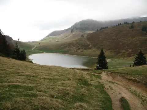
A lake about 2.9 km from the trail.
A lake about 7.4 km from the trail.
Set off early in the morning, as the estimated duration without breaks is 8 h 45 min.
Bring enough water; there are fountains along the route, but do not rely on them alone.
Wear hiking footwear and layered clothing due to the elevation difference from 689 m to 1857 m a.s.l.
Check the weather forecast; fog, rain or thunderstorms are possible in the mountains.
Follow the trail markings and bring a map or GPS.
The trail is very demanding and leads to an altitude of up to 1857 m a.s.l. Check the forecast, as fog, thunderstorms and sudden weather changes are possible in the mountains. In emergencies, call 112.
Emergency number in Montenegro: 112.
Good to know
Best season
Due to the elevation difference, the trail is most suitable from late spring to early autumn. In winter and early spring, there may be snow and ice at higher sections.
Getting there
The nearest place to the start of the trail is Berane, about 2.4 km from the starting point. The trail ends in the Jelovica area.
It is 22.8 km long and runs in one direction.
The estimated duration without breaks is 8 h 45 min.
It is very demanding and intended for experienced hikers. The total ascent is 1330 m, and the descent is 751 m.
The highest point is 1857 m above sea level, and the lowest is 689 m above sea level.
Cycling · Berane
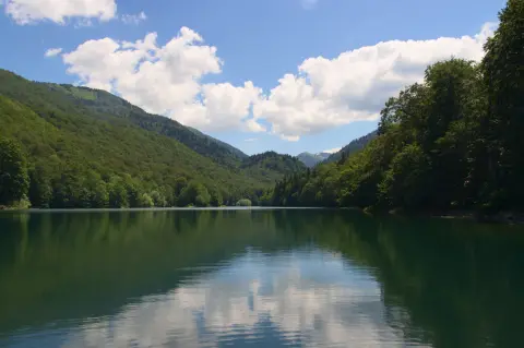
Cycling · Šiško Lake · Biogradska Gora National Park
Cycling · Berane
Hiking · Berane
Hiking · Berane · Biogradska Gora National Park
Cycling · Berane
Climbing · Berane
Hiking · Berane
Times and grades are estimates. Conditions change: check the weather and local information before you set out. Map and data sources →

