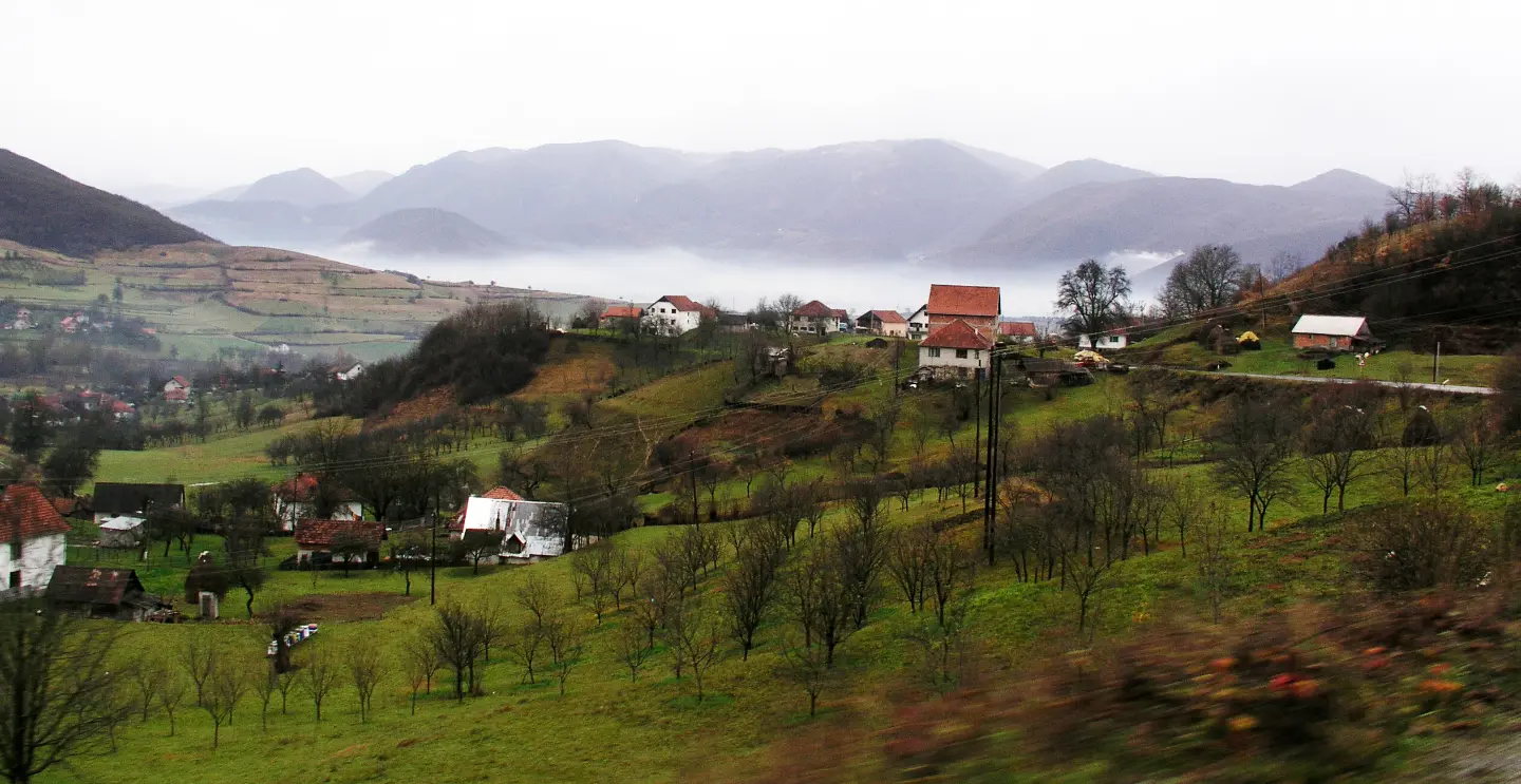
An easy cycling trail on asphalt through the surroundings of Berane, 22.2 km long.
Cycling trail BA01 is 22.2 km long and runs in one direction on 100% asphalt or concrete. With a total ascent of 359 m and the highest point at 844 m a.s.l., the trail is of easy difficulty.
Cycling trail BA01 starts near Berane and runs in one direction. The length is 22.2 km and the surface is 100% asphalt or concrete. The lowest point of the trail is at 687 m a.s.l., and the highest at 844 m a.s.l.
The total ascent is 359 m and the total descent is 410 m. The estimated riding time without breaks is about 1 hour and 40 minutes. The trail is of easy difficulty, making it suitable for recreational riders and beginners.
At 7.3 km from the start there is St. Kula peak at 807 m a.s.l. At 17.9 km from the start the trail passes by a drinking water fountain at 699 m a.s.l. Gentle climbs and descents alternate along the route.
Since the trail runs in one direction, additional time or transport should be planned for the return. Berane, Andrijevica and Petnjica are nearby.
What this difficulty means
Mostly flat or gentle riding on good surfaces. Fine for occasional riders and families.
Places on this route
Move along the profile to follow the route on the map; switch on 3D for the terrain.
↑ 359 m · ↓ 410 m · highest point 844 m
Along the way
A point of interest at 7.3 km from the start of the trail, at 807 m a.s.l.
Located at 17.9 km from the start, at 699 m a.s.l.
The total ascent is 359 m and the total descent is 410 m, with the highest point at 844 m a.s.l.
Bring enough water; there is a drinking fountain on the trail at 17.9 km from the start.
Check the weather forecast — the highest point of the trail is at 844 m a.s.l.
The trail runs in one direction, so plan your return or transport in advance.
Wear a helmet and bring a spare tube, even though the trail is of easy difficulty.
Due to the asphalt surface, a bike with narrower tyres can be a comfortable choice.
On asphalt sections, pay attention to traffic. In rain, the asphalt can be slippery. In case of an accident, call 112.
Emergency number in Montenegro: 112.
Good to know
Best season
The most pleasant period for riding is from spring to autumn. At an altitude of 687–844 m, ride in the morning or evening during summer.
Getting there
The start of the trail is near Berane, about 3.5 km from the town. The start is reached via local roads.
The trail is 22.2 km long.
The estimated duration without breaks is 1 hour and 40 minutes.
The trail is easy. The surface is 100% asphalt or concrete, the ascent is 359 m and the descent is 410 m.
Yes, a water fountain is located at 17.9 km from the start, at 699 m above sea level.
7.6 km↑ 642 m1–1½ h

262 km↑ 6,918 m4–5 days
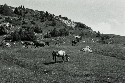
22.8 km↑ 1,330 m7½–10½ h
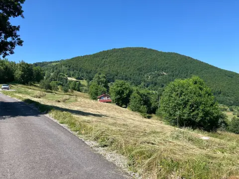
44.2 km↑ 1,794 m5½–8 h
44.4 km↑ 1,523 m4–5½ h
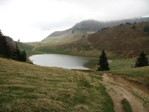
22.7 km↑ 1,426 m7–10 h
13.2 km↑ 1,113 m5½–8 h
Times and grades are estimates. Conditions change: check the weather and local information before you set out.

Ask about Montenegro
Ask me about destinations, restaurants or activities.
