A short and easy walking tour on macadam, with a drinking fountain at 0.8 km from the start.
A short and easy one-way walking trail, 3.0 km long, with an ascent of 302 m. It follows a macadam road from Miškovića Žar to Ravni Katun, with a drinking fountain at 1125 m a.s.l., 0.8 km from the start.
The Miškovića Žar – Ravni Katun trail starts at Miškovića Žar and leads one way to Ravni Katun. It is 3.0 km long and climbs a total of 302 m, with only 22 m of descent, making it easy for most hikers. The lowest point is at 1045 m a.s.l., and the highest at 1333 m a.s.l.
The terrain is entirely macadam, so walking is simple and easy to follow. At 0.8 km from the start, at 1125 m a.s.l., there is a drinking water fountain. Estimated walking time without breaks is 1 h 25 min.
The trail is suitable for a relaxed walking tour from spring to autumn, especially from May to October. The trailhead is about 7.8 km from Andrijevica. Due to the open macadam surface, the terrain is clear and easy to follow.
What this difficulty means
Well-made paths with gentle gradients. Fine for families and anyone used to walking a few hours.
Places on this route
Move along the profile to follow the route on the map; switch on 3D for the terrain.
↑ 302 m · ↓ 22 m · highest point 1,333 m
At 0.8 km from the start of the trail there is a drinking water fountain.
The trail is entirely macadam and is 3.0 km long.
The trail climbs a total of 302 m, with only 22 m of descent.
Estimated time to complete without breaks is 1 h 25 min.
Bring enough water; at 0.8 km from the start there is a drinking water fountain.
Wear comfortable footwear for macadam and layered clothing.
Check the weather forecast before setting off.
Set off earlier in the morning during July and August heat.
As the trail is one-way, plan your return or transport in advance.
Mountain conditions can change quickly. During thunderstorms, move away from open terrain. In an emergency, call 112.
Emergency number in Montenegro: 112.
Good to know
Best season
The best months to visit are May, June, July, August, September and October. In the summer months, set off earlier in the morning because of the heat.
Getting there
The trailhead is about 7.8 km from Andrijevica.
The trail is 3.0 km long and runs one way.
Estimated duration without breaks is 1 h 25 min.
The trail is easy, with a total ascent of 302 m and a descent of 22 m.
The best months are May, June, July, August, September and October.
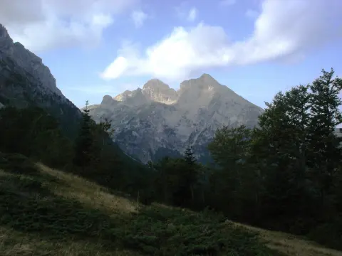
41.0 km↑ 1,242 m4½–6½ h
Loop3.4 km↑ 423 m1½–2 h
30.9 km↑ 2,722 m2–3 days

262 km↑ 6,918 m4–5 days
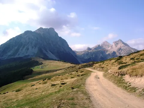
14.6 km↑ 1,061 m4½–6½ h
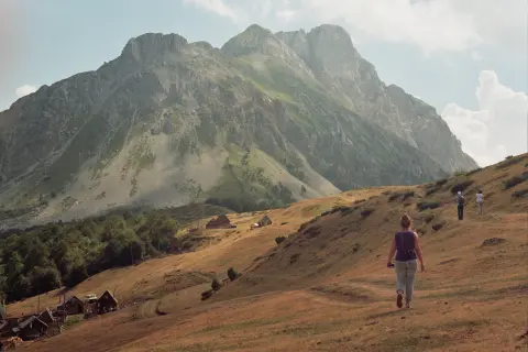
3.9 km↑ 207 m70–95 min
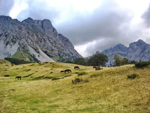
15.8 km↑ 740 m5–7 h
28.2 km↑ 879 m3–4½ h
Times and grades are estimates. Conditions change: check the weather and local information before you set out.

Ask about Montenegro
Ask me about destinations, restaurants or activities.
