A short and easy one-way hiking tour, with 423 m of ascent along a macadam road.
An easy hiking trail from Jošanica to Peovi: 3.4 km, 423 m of ascent and about 1 h 50 min of walking without breaks. The entire route follows a macadam road.
The Jošanica – Peovi trail is an easy one-way hiking tour, 3.4 km long. It starts at 944 m above sea level and ends at 1373 m above sea level. The total ascent is 423 m, with no descent.
The entire route follows a macadam road, so the terrain is stable and suitable for easy hiking. Because of the constant ascent, you should plan a moderate pace. The estimated time without breaks is 1 h 50 min.
The nearest place to the trailhead is Andrijevica, about 7.2 km away. The end point is Peovi. The trail is suitable for beginners and for family outings, but you should allow for the constant ascent. The trail is one-way, so plan your return or transport from the end point in advance. For this reason, it is also practical for shorter mountaineering excursions.
Recommended months are May, June, July, August, September and October.
What this difficulty means
Well-made paths with gentle gradients. Fine for families and anyone used to walking a few hours.
Places on this route
Move along the profile to follow the route on the map; switch on 3D for the terrain.
↑ 423 m · ↓ 0 m · highest point 1,373 m
The start of the trail at 944 m above sea level, about 7.2 km from Andrijevica.
A total ascent of 423 m over a length of 3.4 km.
The entire route follows a macadam road, which makes it clear and stable.
The end of the trail at 1373 m above sea level.
Bring enough water, as we have no information about springs along the trail.
Wear layered clothing and footwear suitable for macadam roads.
Start earlier in the morning, especially in the summer months.
Check the weather forecast before setting off.
Because of the constant ascent, walk at an easy pace and plan breaks.
The trail is one-way; organize your return or transport in advance.
In case of fog or thunderstorms, stop the ascent and take shelter on lower ground. Stay on the macadam route and call 112 in emergencies.
Emergency number in Montenegro: 112.
Good to know
Best season
The recommended months for this trail are May, June, July, August, September and October. During that period, conditions for hiking are usually more favorable.
Getting there
The nearest place to the trailhead is Andrijevica, about 7.2 km away. Find the start of the trail in navigation or on the map.
It is 3.4 km long.
The estimated time without breaks is 1 h 50 min.
The trail is easy difficulty, but it has 423 m of ascent and no descent.
The best months are May, June, July, August, September and October.
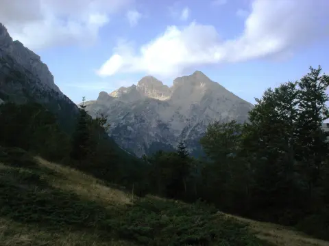
Cycling · Andrijevica
Hiking · Andrijevica
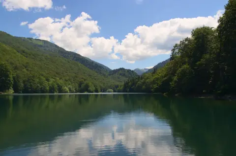
Cycling · Šiško Lake · Biogradska Gora National Park
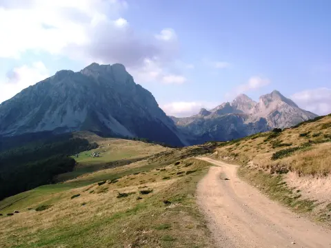
Hiking · Andrijevica
Hiking
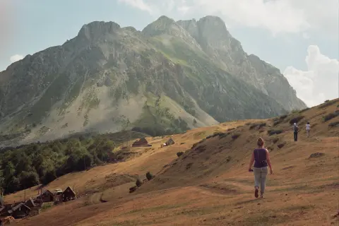
Hiking
Hiking

Hiking · Crno Jezero · Durmitor National Park
Times and grades are estimates. Conditions change: check the weather and local information before you set out. Map and data sources →

