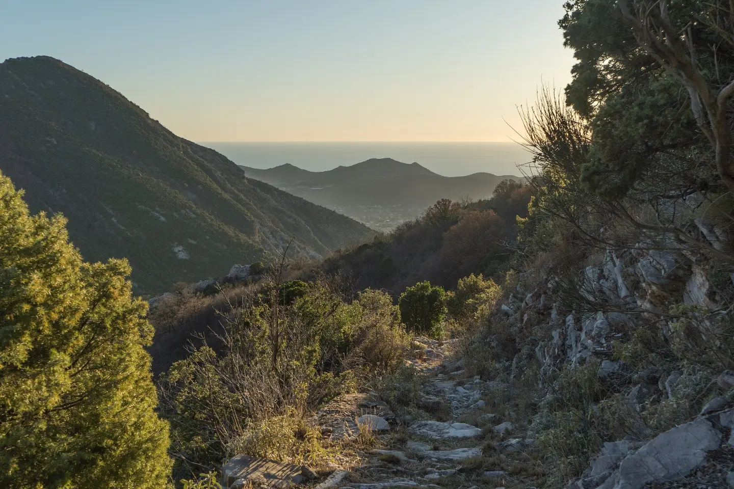
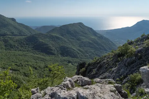
Descending trail along a macadam road from the peak of Rumija to the historic Stari Bar, with a spring halfway.
The 4.3 km trail leads downhill from Rumija towards Stari Bar, passing through Lumetiće. The total descent is 724 m, with an estimated walking time of 2 h 5 min.
The trail starts at an altitude of about 977 m a.s.l. and descends towards Stari Bar at 271 m a.s.l. The entire path follows a macadam road, making it stable and relatively comfortable for walking. The direction is one-way – the start and end are not at the same place, so it is necessary to arrange transport or a return in advance.
About 1.2 km from the start of the trail, at an altitude of 642 m a.s.l., there is a spring – a good natural landmark and a place for a short break. The trail passes through Lumetiće before descending towards the finish.
The trail is marked with red and white markings and is classified as moderate difficulty (SAC scale T2). It is intended for hikers with basic experience. Special attention is needed on the descent, as the longer downhill can be strenuous for the knees.
Nearby are Bar, Topolica Beach and Šušanj Beach, so the tour is easily combined with a seaside holiday.
What this difficulty means
Longer or steeper sections and uneven ground. You need basic fitness, sturdy shoes and a little mountain experience.
Mountain hiking grade SAC T2 (scale T1–T6).
Places on this route
Move along the profile to follow the route on the map; switch on 3D for the terrain.
↑ 22 m · ↓ 724 m · highest point 977 m
The trail starts at an altitude of about 979 m a.s.l., where there is a camp – a good starting point with a view of the surrounding area.
At 1.2 km from the start of the trail there is a spring. It is a good resting point during the descent.
The entire trail follows a macadam road, which ensures a clearly marked and passable route through the mountain area.
The trail ends near Stari Bar, a historic site located about 3.8 km from the end point of the trail.
Bring enough water, especially if you do not plan to use the spring on the trail.
Use footwear with good ankle support – a long descent of 724 m can be strenuous.
Start in the morning to avoid the summer heat in the lower areas.
The trail is one-way – arrange transport or return from the end point in advance.
In case of a sudden weather change on the higher parts of the trail, descend without delay.
Bring basic hiking equipment: a hat, a light rain cape, and a snack for the trail.
On the higher parts of the trail, the weather can change suddenly – check the weather forecast before setting off. In case of fog or thunderstorms, descend immediately to lower terrain. In case of emergency call 112.
Emergency number in Montenegro: 112.
Good to know
Best season
The trail is most accessible from late spring to autumn, when precipitation is less frequent and visibility is good. In winter, ice and snow are possible on the higher parts of the trail, which requires additional equipment and caution.
Getting there
The trail starts near Stari Bar. Since the trail is one-way and ends at a different point, it is recommended to arrange transport to the starting point or return from the end point in advance.
The trail is 4.3 km long.
Estimated walking time without breaks is 2 h 5 min.
The trail is categorized as moderate, and on the SAC hiking scale it corresponds to grade T2.
Yes, the trail is marked with red-and-white markings along the entire route.
Hiking · Utjeha
Hiking · Stari Bar
Hiking · Stari Bar
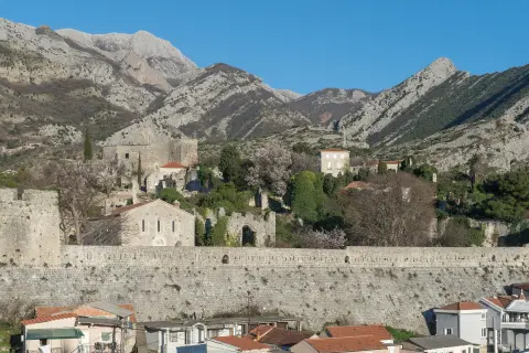
Hiking · Stari Bar
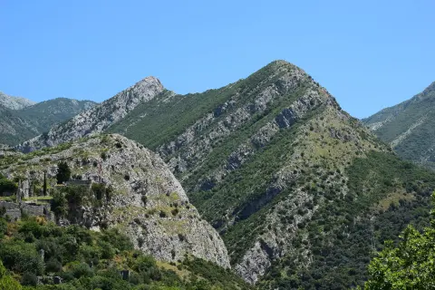
Climbing · Stari Bar
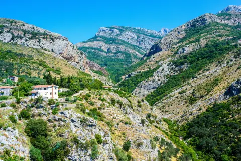
Hiking · Stari Bar
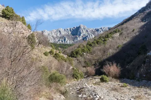
Hiking · Stari Bar
Hiking · Stari Bar
Times and grades are estimates. Conditions change: check the weather and local information before you set out. Map and data sources →

