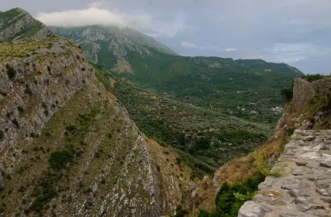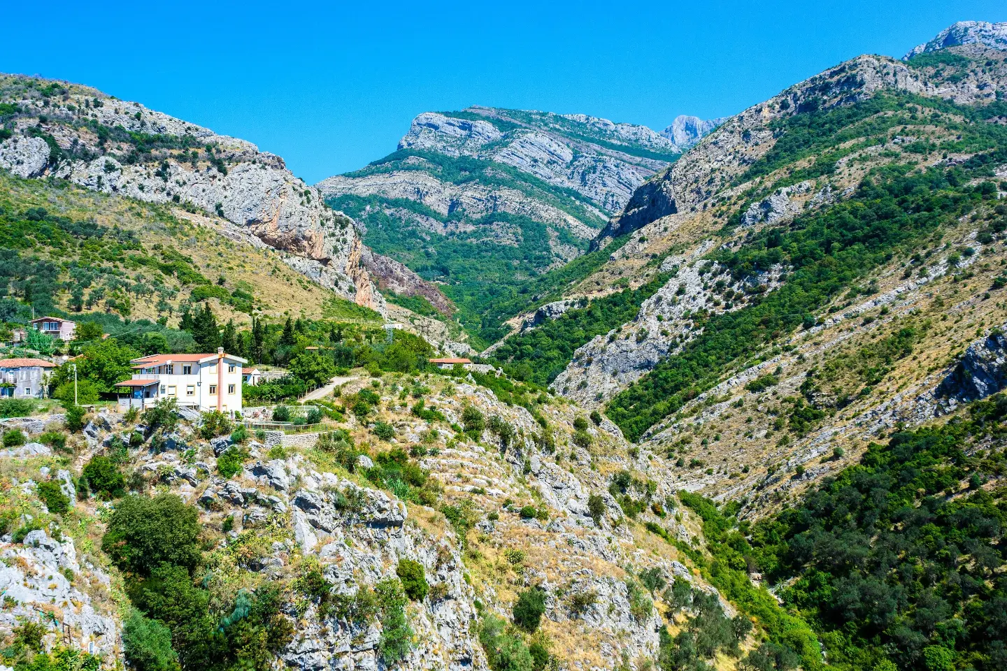
Circular tour from Stari Bar with viewpoints, a waterfall, and a mountain hut at 471 m a.s.l.
The moderate circular trail Around Stari Bar is 8.4 km long with 398 m of elevation gain. It leads from Stari Bar past viewpoints, drinking fountains, a waterfall, and a mountain hut, mostly on asphalt and rocky terrain.
The Around Stari Bar trail is a circular hiking tour that starts and ends in Stari Bar, near the parking area and bus station. It is 8.4 km long, with a total ascent of 398 m and a total descent of 374 m. The lowest point is at 113 m a.s.l., and the highest at 485 m a.s.l.
The surface is mostly asphalt/concrete (78%), followed by rocky terrain (16%) and gravel road (5%). The trail is marked and carries a T1 rating on the SAC hiking scale, but is rated as moderate due to its length and elevation gain.
Along the trail, viewpoints, drinking fountains, and rocky sections alternate. At 4.8 km from the start there is a mountain hut/shelter at 471 m a.s.l., and at 7.4 km a waterfall at 185 m a.s.l. with a drinking fountain at 191 m a.s.l.
The tour takes about 3 h 10 min without breaks and is suitable for beginner hikers and anyone looking for a shorter circular tour in the area around Bar.
What this difficulty means
Longer or steeper sections and uneven ground. You need basic fitness, sturdy shoes and a little mountain experience.
Mountain hiking grade SAC T1 (scale T1–T6).
Places on this route
Move along the profile to follow the route on the map; switch on 3D for the terrain.
↑ 398 m · ↓ 374 m · highest point 485 m
Along the way
Photos and short clips from points along the route — tap one to open it.
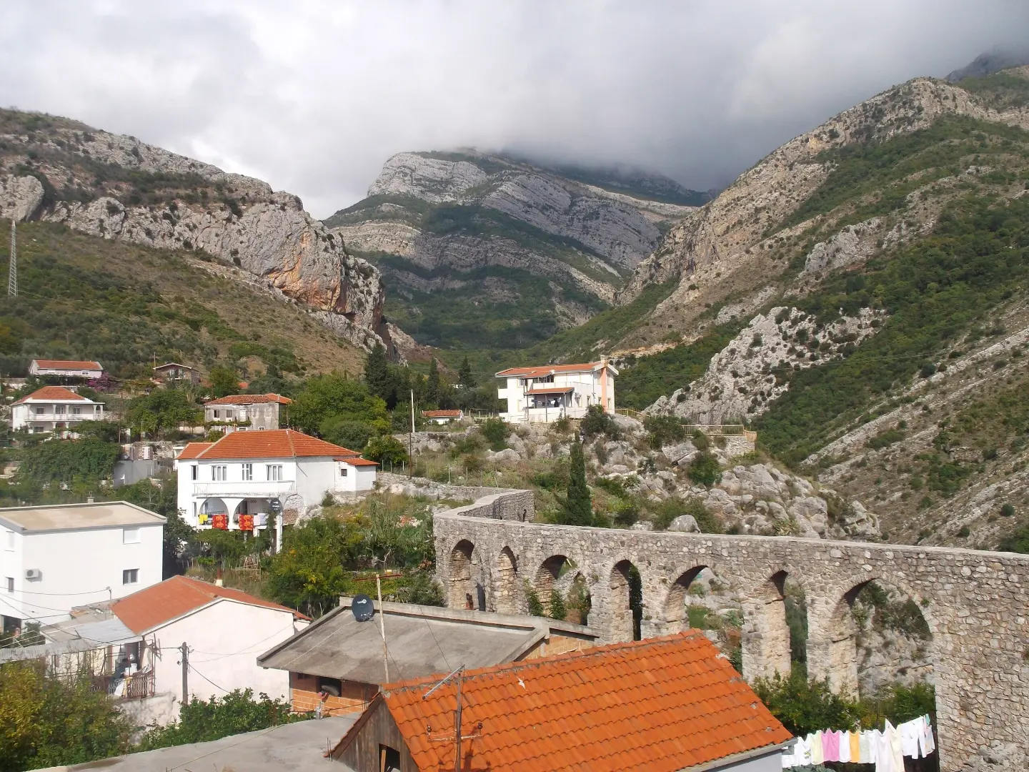
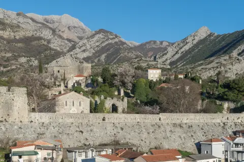
A historic site located about 0.2 km from the start of the trail.
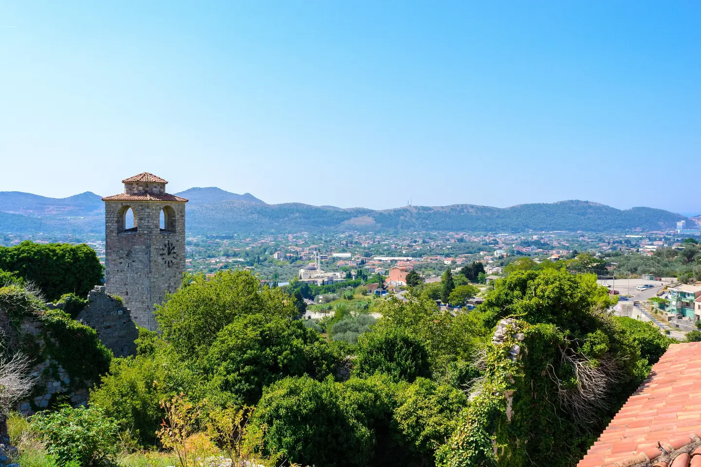
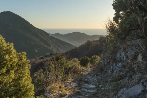
The trail features several viewpoints, including those at 165 m, 268 m, and 366 m a.s.l.
Located 4.8 km from the start of the trail, at 471 m a.s.l.
At 7.4 km from the start, near the waterfall at 185 m a.s.l. and a drinking fountain at 191 m a.s.l.
Bring enough water; drinking fountains exist along the trail, but their availability should not be taken for granted.
Footwear should be comfortable for mixed terrain — asphalt, gravel road, and rocky ground.
In summer, set off earlier, as most of the trail is on asphalt/concrete and can get very hot.
Check the weather forecast before departing; it can be windy at the viewpoints and on open sections.
The tour takes about 3 h 10 min without breaks — plan enough time for rest and taking photos.
Follow the trail markings and do not cut the route via unmarked shortcuts. Be careful on rocky sections, especially if the surface is wet. In case of an emergency, call 112.
Emergency number in Montenegro: 112.
Good to know
Best season
Due to the low elevation, the trail is most pleasant in spring and autumn. In summer it can be very hot on the asphalt sections, so it is better to set off early.
Getting there
The trail starts at the parking area near the 'Stari Bar' bus station. Stari Bar is about 0.2 km from the start, and Bar is about 2.5 km from the trail.
It is 8.4 km long and circular in shape — it starts and ends at the same point.
The estimated duration without breaks is 3 h 10 min.
It is moderate on our scale, and T1 on the SAC hiking scale. The total ascent is 398 m and the highest point is 485 m a.s.l.
It starts at the parking lot and bus station 'Stari Bar', near Stari Bar.
4.6 km↑ 220 m1½–2 h
4.5 km↑ 575 m2–3 h
148 km↑ 2,604 m2–3 days
4.3 km↑ 22 m2–2½ h
2.9 km↑ 102 m50–70 min
3.5 km↑ 102 m60–85 min
Times and grades are estimates. Conditions change: check the weather and local information before you set out.

Ask about Montenegro
Ask me about destinations, restaurants or activities.