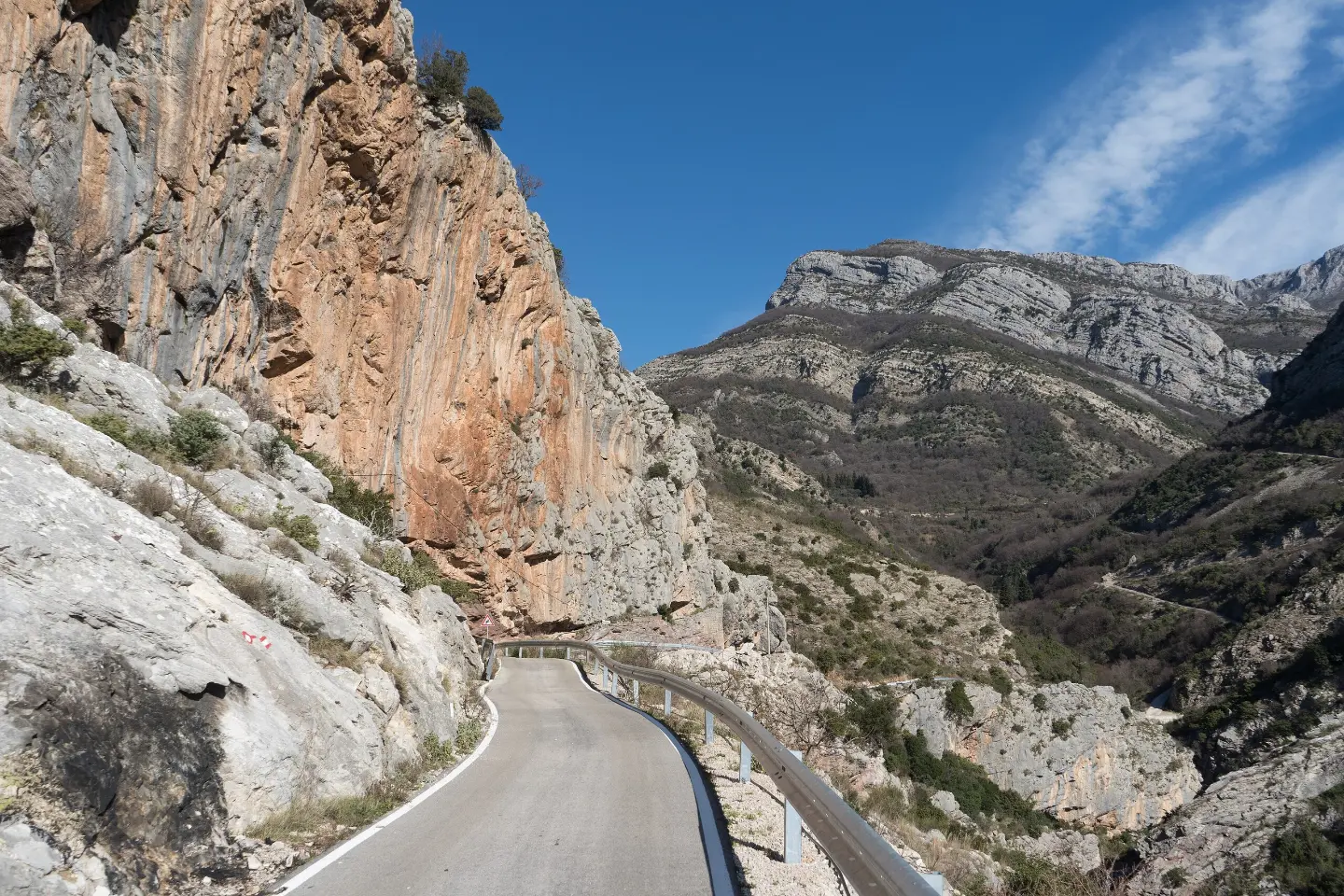
Overhanging limestone cliff above Stari Bar with pockets and tufas – a winter climbing area.
Overhanging limestone cliff above Stari Bar with pockets and tufas – a winter climbing area.
Above the ruins of Stari Bar stretches a roughly 300 m long and up to 40 m high overhanging cliff facing south and east. Montenegro.travel lists 21 routes graded from 5 to 8b (12–20 m), while a local guidebook lists more than 25 routes of 15–30 m in length.
Due to its orientation, it is good for sunny winter days, and in spring and autumn for cloudy days. The local contact for sport climbing is the climbing team “Kunora” (according to the Bar Tourist Organisation brochure).
Sources: montenegro.travel – Sport climbing (https://www.montenegro.travel/me/istrazi-crnu-goru/priroda-i-avanturizam/sportsko-penjanje); Montenegro Climbing Guide (working version 2022, Mali alpinistički klub, montenegroclimbing.net); Bar Tourist Organisation; coordinates: © OpenStreetMap contributors (ODbL).
The information is indicative and for planning purposes; the number and grades of routes change as climbing areas are equipped. Look for the current guidebook at local climbing clubs.
Places on this route
Overhanging routes – experience in overhang climbing is required. Emergency: 112.
Emergency number in Montenegro: 112.
Good to know
Best season
Winter (sunny days), spring and autumn.
Getting there
Through Stari Bar, then continue on the road behind the old town to the waterworks building; from the parking area directly to the cliff.
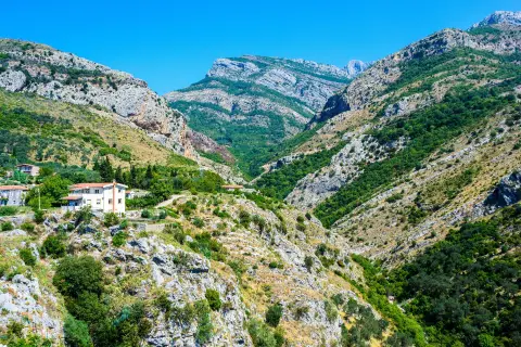
The moderate circular trail Around Stari Bar is 8.4 km long with 398 m of elevation gain. It leads from Stari Bar past viewpoints, drinking fountains, a waterfall, and a mountain hut, mostly on asphalt and rocky terrain.
8.4 km398 m2½–4 hLoop
View trail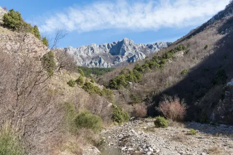
The trail, 4.5 km long, leads from Stari Bar towards Baltina with a total elevation gain of 575 m. It passes by a drinking fountain, a waterfall, and offers a view from a lookout point at the start of the route.
4.5 km575 m2–3 h
View trail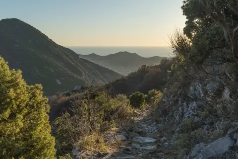
The 4.3 km trail leads downhill from Rumija towards Stari Bar, passing through Lumetiće. The total descent is 724 m, with an estimated walking time of 2 h 5 min.
4.3 km22 m2–2½ h
View trail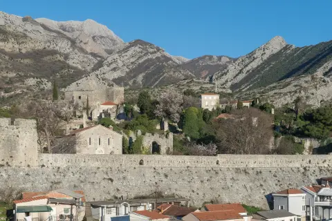
The 4.6 km trail leads from Stari Bar to Bartula with a moderate ascent of 220 m. It passes through varied terrain and offers several viewpoints overlooking the Bar riviera.
4.6 km220 m1½–2 h
View trail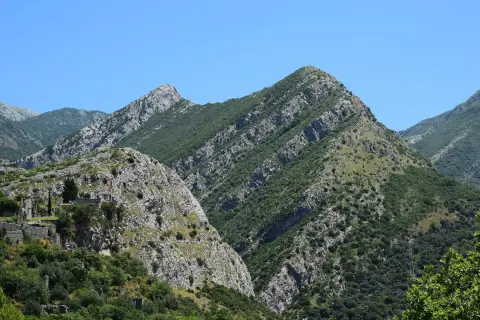
South-facing grey limestone crag with a sea view – easier routes for beginners and recreational climbers.
View trail
Trail TT5 takes you along almost 148 km, predominantly on asphalt, with a total ascent of 2604 m. It passes by Lake Skadar, historic fortresses, and landscapes that tell stories of water.
148 km2,604 m2–3 days
View trail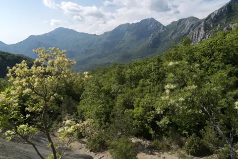
A multi-day tour of 30.2 km leading from Lunje to the Sutorman pass, following red-and-white markings through forest and gravel road sections. The total ascent is 1,491 m, and the tour is intended for experienced hikers.
30.2 km1,491 m2–3 days
View trail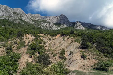
A one-way hiking trail from Baltina to Gornji Šestani, 10,6 km long with a total ascent of 555 m. Estimated walking time without breaks is 3 h 55 min, and the difficulty is demanding (SAC T2).
10.6 km555 m3½–4½ h
View trailTimes and grades are estimates. Conditions change: check the weather and local information before you set out. Map and data sources →
