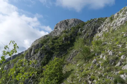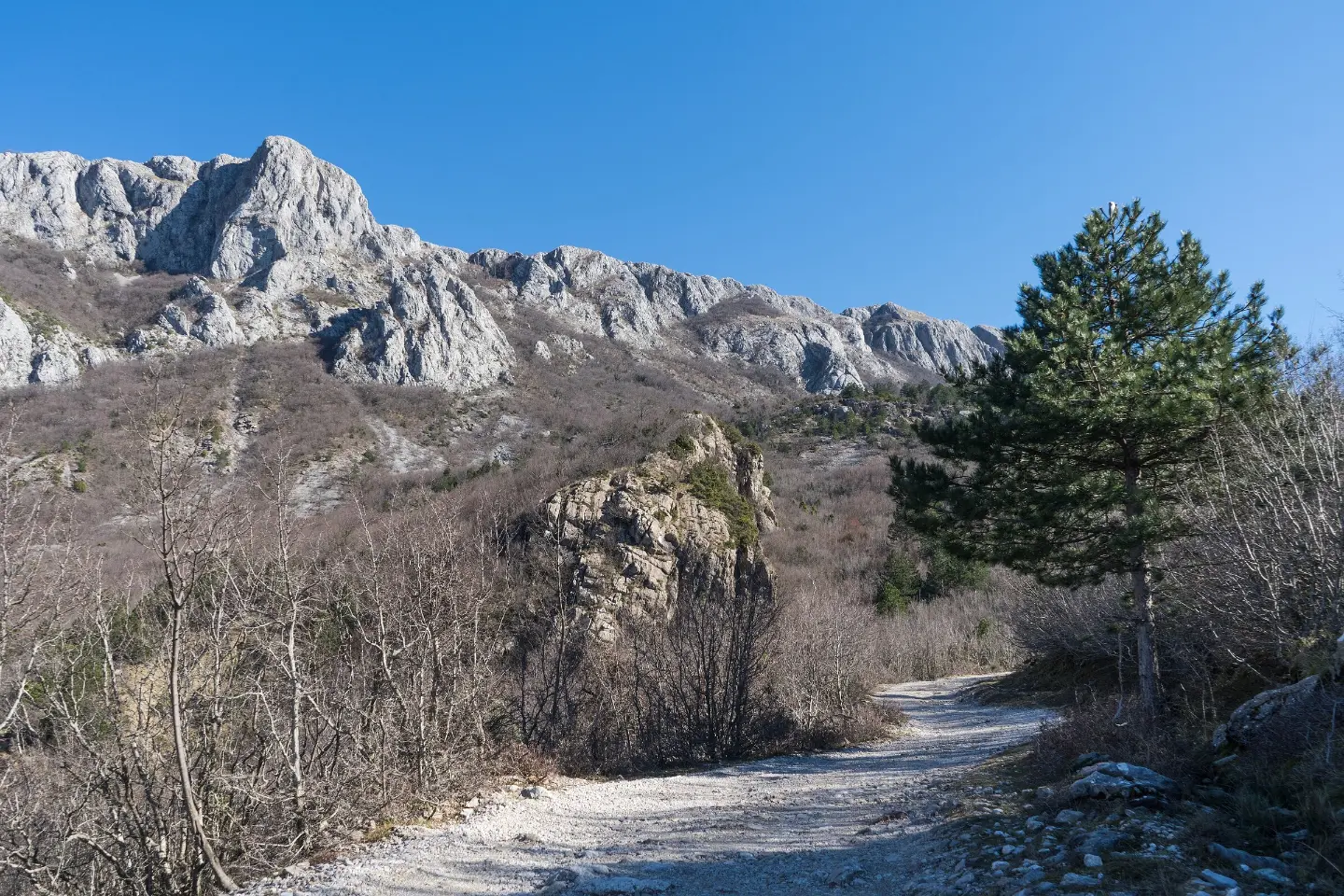
Hiking tour from Baltina to Gornji Šestani with viewpoints, a cave and a spring, 10,6 km long.
A one-way hiking trail from Baltina to Gornji Šestani, 10,6 km long with a total ascent of 555 m. Estimated walking time without breaks is 3 h 55 min, and the difficulty is demanding (SAC T2).
The trail leads from Baltina to Gornji Šestani in one direction. The length is 10,6 km, total ascent 555 m, and total descent 315 m. The lowest point is at 448 m a.s.l., and the highest at 903 m a.s.l. Estimated walking time without breaks is 3 h 55 min.
The surface is mixed: earth or forest trail makes up 39%, asphalt/concrete 37%, and gravel road 24%. Therefore natural sections alternate with shorter asphalt or gravel stretches.
At 4,2 km from the start there is a camp, and at 6,4 km the cave “Pasja špilja”. At 8,9 km there are a spring, the viewpoint “Bijela skala” and the pass “Bijela skala”, and at 10,0 km another viewpoint. The end point is Gornji Šestani.
The trail is demanding (SAC T2) and is intended for hikers with basic experience and fitness. Because of the duration and ascent, plan a multi-hour outing. The trail is marked.
What this difficulty means
Steep, rocky or exposed passages and a long day out. For fit, sure-footed hikers with mountain experience.
Mountain hiking grade SAC T2 (scale T1–T6).
Places on this route
Move along the profile to follow the route on the map; switch on 3D for the terrain.
↑ 555 m · ↓ 315 m · highest point 903 m
Along the way
Photos and short clips from points along the route – tap one to open it.
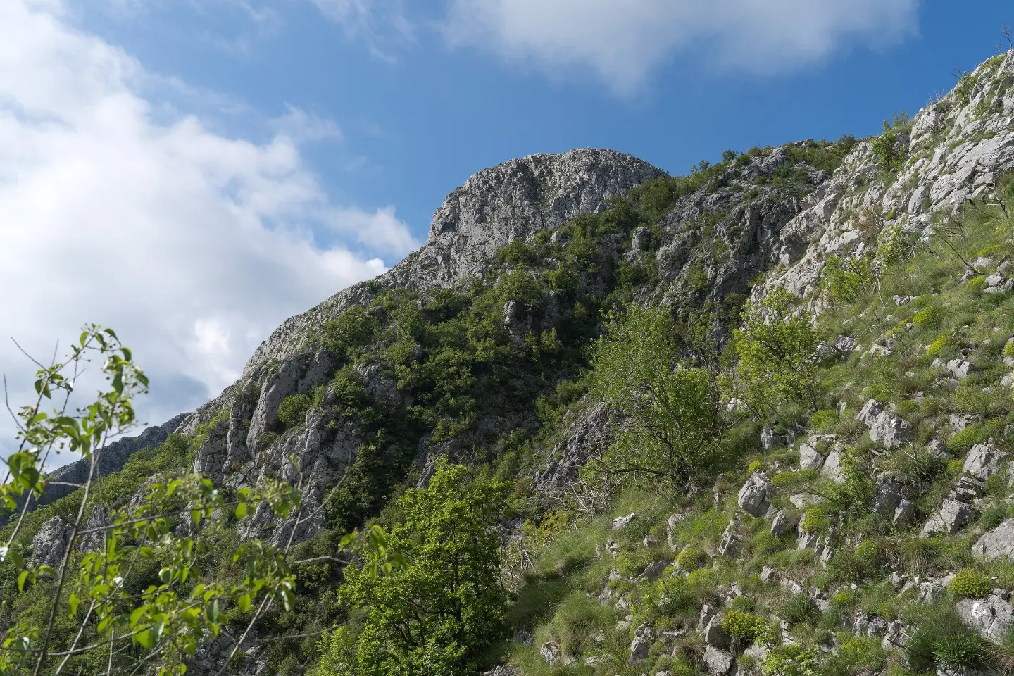
At 8,9 km from the start, at 899 m a.s.l., with a view over the surrounding terrain.
Located 6,4 km from the start, at 811 m a.s.l.
At 8,9 km from the start, at 893 m a.s.l., next to the trail.
At 8,9 km from the start, next to the viewpoint and the spring.
At 10,0 km from the start, at 683 m a.s.l., near the end of the trail.
Bring enough water and food; the tour is demanding and takes 3 h 55 min without breaks.
Wear sturdy hiking boots because of the mixed surface (earth, asphalt, gravel road).
Start early in the morning to avoid the hottest part of the day.
Check the weather forecast before setting off; fog and thunderstorms can quickly change conditions.
As the trail is one-way, arrange transport or return in advance.
In an emergency, call 112 and let someone know about your tour plan.
The trail climbs to 903 m a.s.l. and leads through mountain terrain where conditions can change quickly. Pay special attention to fog and thunderstorms. In emergencies, call 112.
Emergency number in Montenegro: 112.
Good to know
Best season
The most pleasant period is usually from late spring to early autumn, when days are longer and the trails are dry and more passable. In winter and early spring, higher sections can be cold and slippery.
Getting there
The trailhead is in Baltina. The nearest larger town is Bar, about 5,6 km from the trail, while Grmožur Fortress is about 5,7 km from the trailhead.
The trail is 10,6 km long and leads one way from Baltina to Gornji Šestani.
Estimated walking time without breaks is 3 h 55 min.
The trail is demanding according to our scale and bears the SAC T2 designation.
No, the trail is point-to-point, so the start and end are not at the same place.
Cycling · Ada Bojana · Lake Skadar
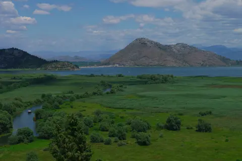
Cycling · Lake Skadar
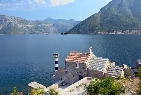
Cycling · Rose, Luštica · Lake Skadar
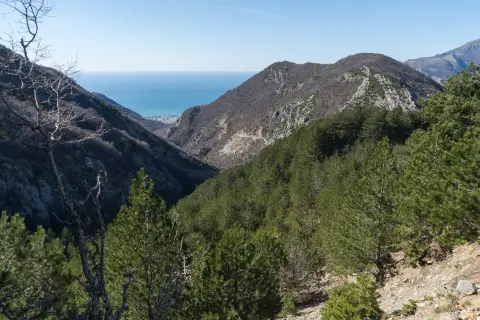
Hiking · Utjeha
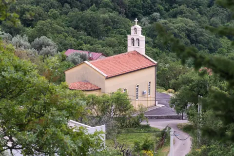
Hiking · Sutomore
Cycling · Topolica Beach · Lake Skadar
Cycling · Besac Fortress · Lake Skadar
Hiking · Stari Bar · Lake Skadar
Times and grades are estimates. Conditions change: check the weather and local information before you set out. Map and data sources →