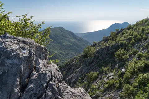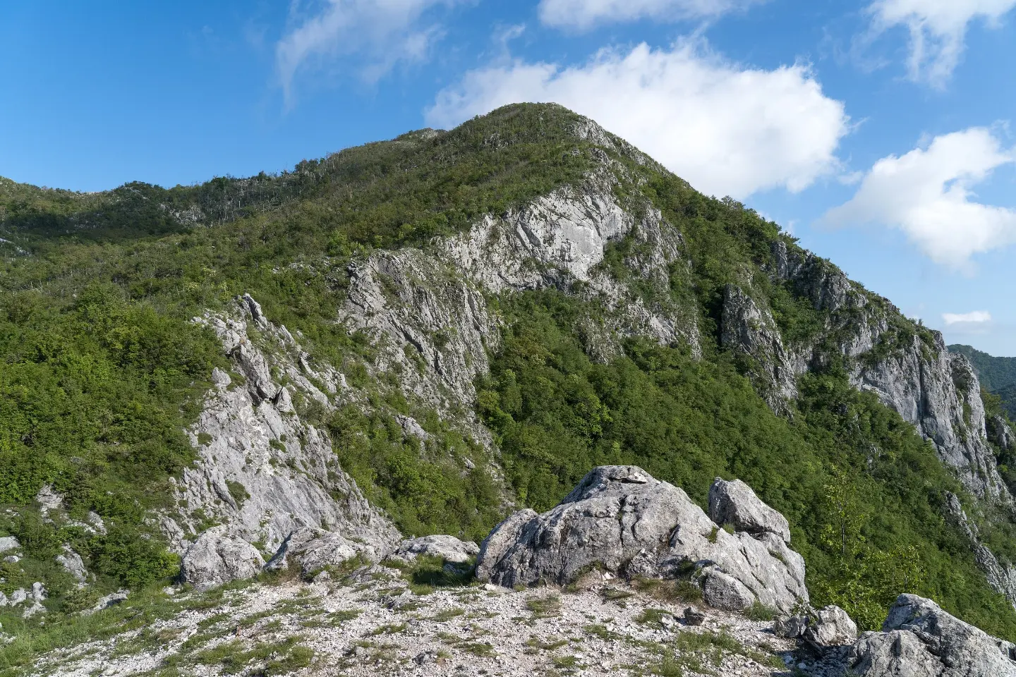
A one-way hiking tour through Skadar Lake National Park from the Bijela skala viewpoint to Murići.
A moderate one-way walking tour 9.3 km long connects Bijela skala, Pinčići and Murići. It leads through Skadar Lake National Park, with a small ascent and a descent of 833 m.
The trail starts at Bijela skala, where there are the Bijela skala viewpoint at 899 m above sea level, the Bijela skala pass at 919 m above sea level and a spring at 893 m above sea level. From the start, the route mostly descends: the total ascent is 27 m and the total descent is 833 m.
The trail is 9.3 km long, and the estimated walking time without breaks is 3 h 10 min. The surface is mixed: rocky terrain 33%, dirt/forest trail 33%, asphalt/concrete 27% and gravel road 6%. At 5.7 km from the start there is a spring at 504 m above sea level.
The trail is located in Skadar Lake National Park and ends in Murići. The lowest point is at 77 m above sea level, and the highest at 904 m above sea level. Due to the long descent and mixed surface, it is rated as moderate and is suitable for hikers with basic fitness. Near the trail are Bar, Šušanj beach and Topolica beach.
What this difficulty means
Longer or steeper sections and uneven ground. You need basic fitness, sturdy shoes and a little mountain experience.
Move along the profile to follow the route on the map; switch on 3D for the terrain.
↑ 27 m · ↓ 833 m · highest point 904 m
Along the way
Photos and short clips from points along the route – tap one to open it.
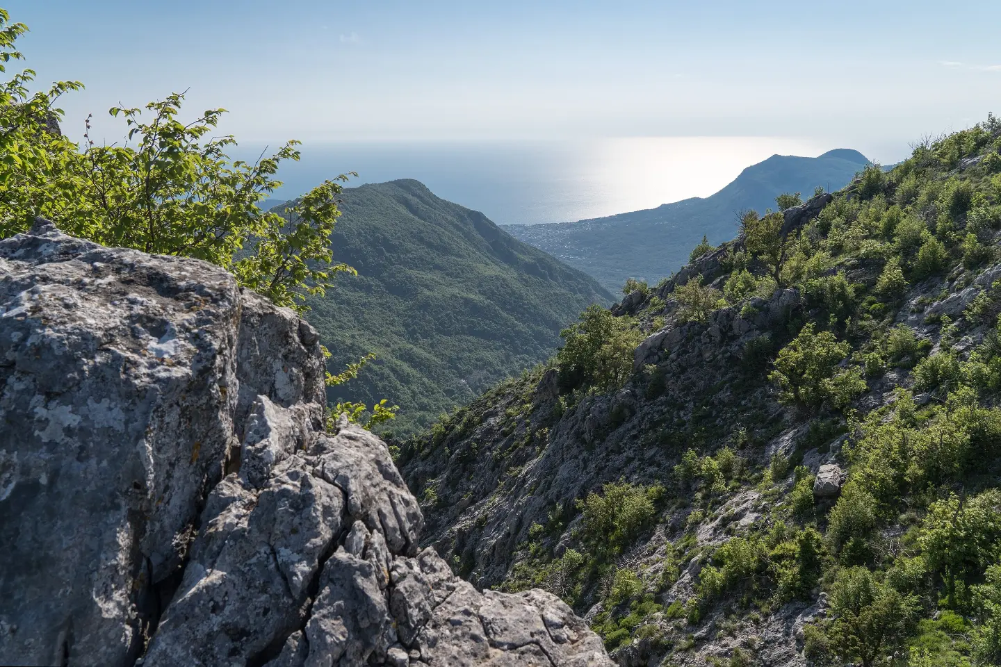
At the start of the trail, at 899 m above sea level.
Trailhead at 919 m above sea level.
Spring in the trailhead area.
Located 5.7 km from the start of the trail.
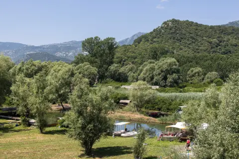
The trail is located in Skadar Lake National Park.
Since the trail is one-way, arrange transport to the start or a return from the end in advance.
Wear comfortable hiking footwear due to the rocky and forest sections.
Take enough water, especially in the warmer months.
Set off earlier in the morning; the walking itself takes about 3 h 10 min without breaks.
Protect yourself from the sun and check the weather forecast before setting off.
Walk carefully on rocky sections and during the long descent. In mountain conditions, the weather can change quickly. For emergencies in Montenegro, call 112.
Emergency number in Montenegro: 112.
Good to know
Best season
The best period is from May to October. In summer, bring enough water and sun protection.
Getting there
The closest place to the trailhead is Stari Bar, about 4.5 km away. Near the trail are Bar, Šušanj beach and Topolica beach.
The trail is 9.3 km long.
The estimated duration without breaks is 3 h 10 min.
It is moderate, with a small ascent of 27 m and a large descent of 833 m.
The best months are May, June, July, August, September and October.
Hiking · Grmožur Fortress
Hiking · Stari Bar
Hiking · Utjeha
Hiking · Stari Bar
Hiking · Stari Bar

Cycling · Ada Bojana · Lake Skadar
Cycling · Topolica Beach · Lake Skadar
Hiking · Stari Bar
Times and grades are estimates. Conditions change: check the weather and local information before you set out. Map and data sources →