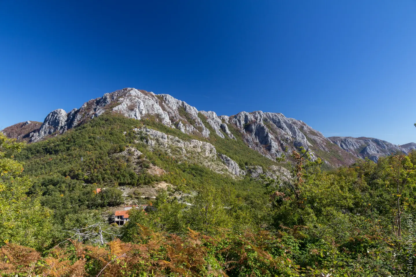
A moderate cycling trail through Skadar Lake National Park with viewpoints, springs, and the Sutorman Pass.
A 34.0 km one-way cycling trail leading from the area around Bar to Virpazar. The ascent of 832 m reaches the Sutorman Pass at 805 m a.s.l., with viewpoints, springs, and Besac Fortress.
The Biking Trail NPSJ05 is 34.0 km long and runs in one direction, from the area around Topolica beach near Bar to Virpazar. The surface is predominantly asphalt and concrete (91%), with short unpaved sections (9%). The trail is of moderate difficulty, with a total ascent of 832 m and descent of 831 m. The lowest point is at 7 m a.s.l., and the highest at 805 m a.s.l.
The first section passes by Šušanj beach and not far from Besac Fortress. This is followed by a climb through Skadar Lake National Park. At 19.0 km the trail reaches the Sutorman Pass (805 m a.s.l.), the highest point of the trail. In this section viewpoints open up, and along the trail there are springs, including the Lijeska spring at 617 m a.s.l. and a water fountain at 580 m a.s.l.
The final section descends towards Virpazar, where there is a parking area and bus station at 34.0 km. The trail is marked. The estimated riding time without breaks is 3 hours and 5 minutes.
What this difficulty means
Some longer climbs or rougher surfaces. You need regular riding fitness.
Move along the profile to follow the route on the map; switch on 3D for the terrain.
↑ 832 m · ↓ 831 m · highest point 805 m
Along the way
At 19.0 km the trail crosses the Sutorman Pass at 805 m a.s.l.; nearby is a viewpoint at 787 m a.s.l. at 19.2 km.
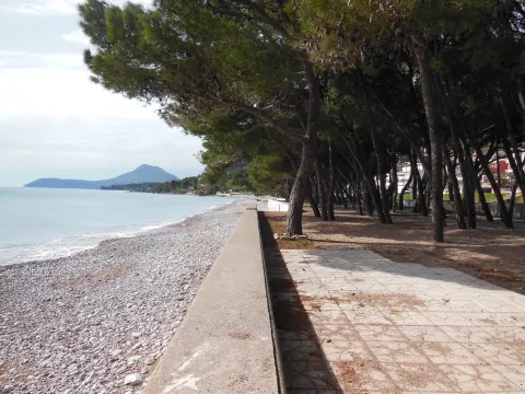
The trail passes by Besac Fortress (about 0.2 km from the trail) and Šušanj beach (about 0.5 km from the trail).
At 14.6 km there is a spring and a water fountain at 580 m a.s.l., and at 15.4 km the Lijeska spring at 617 m a.s.l.
At 0.5 km along the trail there is a waterfall at 7 m a.s.l., and at 1.9 km a shelter at 42 m a.s.l.
At 10.9 km, 11.8 km, 13.2 km, 19.2 km and 23.5 km there are viewpoints at elevations ranging from 374 m to 787 m a.s.l.
Bring enough water; there are springs and fountains along part of the trail, but do not rely on them alone.
Set off early in the morning, especially in warmer months, due to the length of the trail and the ascent.
Check the weather forecast; it can be windy and cooler at the Sutorman Pass.
Dress in layers and bring a windbreaker or light jacket for the higher sections.
Prepare a basic bike repair kit, a spare inner tube, and a pump.
Ride more slowly on unpaved sections and control your speed.
At higher elevations around Sutorman the weather can change quickly; check the forecast and bring a windbreaker. Ride carefully on unpaved sections. In case of an accident, call 112.
Emergency number in Montenegro: 112.
Good to know
Best season
The trail is most favourable from spring to autumn. In summer, set off early due to the heat, and in winter months check the conditions at the Sutorman Pass.
Getting there
The easiest way to reach the start of the trail is from Bar; the starting point is about 0.9 km from Topolica beach. At the end of the trail in Virpazar there is a parking area and a bus station.
The trail is 34.0 km long. The estimated riding time without breaks is 3 hours and 5 minutes.
The difficulty is moderate. The total ascent is 832 m, and the descent is 831 m; the highest point is at 805 m above sea level.
The surface is 91% asphalt/concrete and 9% gravel road.
The trail is one-way. The start is closest to Topolica beach near Bar, and the end is in Virpazar, where there is parking and a bus station.
2.1 km25–35 min

148 km↑ 2,604 m2–3 days
8.4 km↑ 398 m2½–4 h
Loop
4.1 km↑ 87 m1½–2½ h

2.7 km↑ 194 m55–80 min
9.2 km↑ 253 m3–4½ h
3.5 km↑ 102 m60–85 min
2.9 km↑ 102 m50–70 min
Times and grades are estimates. Conditions change: check the weather and local information before you set out.

Ask about Montenegro
Ask me about destinations, restaurants or activities.
