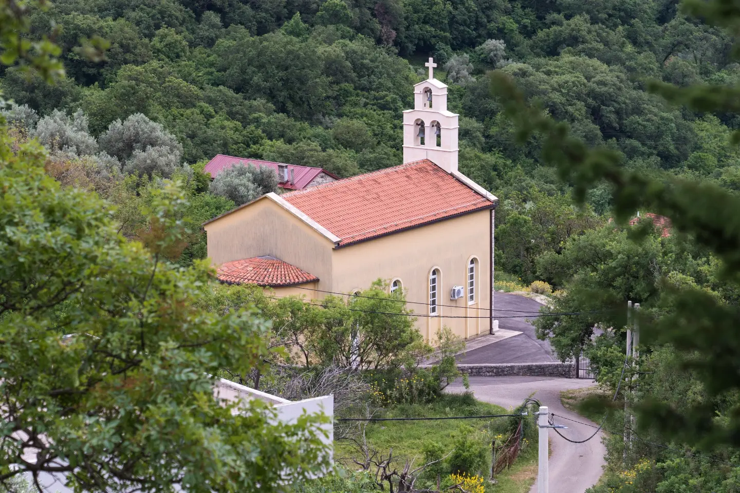
A one-way hiking trail of 9.2 km with moderate difficulty and water springs along the route.
The Sutorman – Zupci trail is 9.2 km long and takes approximately 3 h 45 min without breaks. Total ascent is 253 m, descent 891 m; the highest point is 980 m a.s.l. and the lowest 170 m a.s.l.
The Sutorman – Zupci trail is a one-way hiking/walking route 9.2 km long. It starts at a spring at 813 m a.s.l. and leads to Zupci. The highest point on the route is 980 m a.s.l., and the lowest is 170 m a.s.l. Total ascent is 253 m, and total descent is 891 m. Estimated walking time without breaks is 3 h 45 min. The difficulty is moderate, rated T2 on the SAC hiking scale.
The dominant surface is gravel road (76 %), followed by dirt and forest trail (17 %), with the least amount of asphalt and concrete (7 %). At 1.0 km from the start of the trail lies the point of interest, the summit Lonac (1004 m a.s.l.). At the very beginning there is a spring at 813 m a.s.l., and at 6.6 km the Manduke spring (511 m a.s.l.).
The trail is not a loop, so return transport should be arranged in advance. Nearby are the beaches of Šušanj and Žukotrlica, as well as Stari Bar, making it possible to combine the hike with a visit to the coast and cultural heritage sites. The trail is suitable for hikers with basic fitness and experience of easy mountain walks.
What this difficulty means
Longer or steeper sections and uneven ground. You need basic fitness, sturdy shoes and a little mountain experience.
Mountain hiking grade SAC T2 (scale T1–T6).
Places on this route
Move along the profile to follow the route on the map; switch on 3D for the terrain.
↑ 253 m · ↓ 891 m · highest point 980 m
Along the way
A point of interest located 1.0 km from the start of the trail.
At the start there is a spring at 813 m a.s.l., and at 6.6 km the Manduke spring at 511 m a.s.l.
Nearby are Stari Bar (approximately 4.1 km), the beach of Šušanj (approximately 3.7 km) and the beach of Žukotrlica (approximately 3.9 km).
Bring enough water and snacks; although two springs have been recorded on the trail, do not rely on them alone.
Wear comfortable hiking footwear and layered clothing due to the mixed terrain and change in elevation.
Set off early in the morning: without breaks it takes approximately 3 h 45 min, and with breaks allow considerably more.
The trail is one-way, so plan transport from the end point or your return journey in advance.
Check the weather forecast; at 980 m a.s.l. there may be fog, wind or showers.
Charge your mobile phone and bring a basic first-aid kit.
The trail is of moderate difficulty, but it is still a mountain hike. In case of fog, thunder or wet terrain, slow down and stay on the route. In an emergency in Montenegro, call 112.
Emergency number in Montenegro: 112.
Good to know
Best season
The most pleasant conditions are usually in spring and autumn, when temperatures are milder. In summer, set off earlier and bring enough water; in winter and after rain the trail can be wet and slippery.
Getting there
The nearest place to the start of the trail is Sutomore, approximately 5.1 km away. Also nearby are the beaches of Šušanj (approximately 3.7 km), Žukotrlica (approximately 3.9 km) and Stari Bar (approximately 4.1 km).
The trail is 9.2 km long and is not a loop.
The estimated duration without breaks is 3 h 45 min. When planning, add time for rest stops and food.
The trail is of moderate difficulty, SAC scale T2. The total ascent is 253 m, and the descent is 891 m; the highest point is 980 m a.s.l., and the lowest is 170 m a.s.l.
It starts at a spring at 813 m a.s.l. in the Sutorman area, and ends in Zupci. The start and end are not at the same location.
Hiking · Utjeha

Cycling · Ada Bojana · Lake Skadar
Cycling · Topolica Beach · Lake Skadar
Hiking · Sutomore
Hiking · Sutomore
Hiking · Sutomore
Hiking · Ratac
Cycling · Besac Fortress · Lake Skadar
Times and grades are estimates. Conditions change: check the weather and local information before you set out. Map and data sources →

