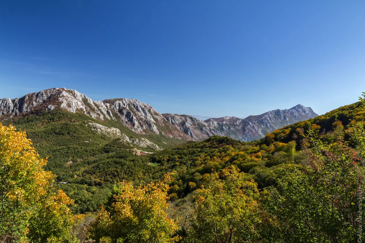
A one-way hiking trail from the Sutorman pass to Sutomore, with an ascent to Vrsuta and a long descent.
A one-way hiking trail from Sutorman to Sutomore, 9.3 km long, with 366 m of ascent and 1132 m of descent. It leads over rocky terrain across the summit of Vrsuta and two viewpoints down to Sutomore.
The Sutorman – Sutomore trail begins at the Sutorman pass (805 m a.s.l.) and runs in one direction to Sutomore. The trail length is 9.3 km, with 366 m of ascent and 1132 m of descent. The estimated duration without breaks is 4 h 40 min, and the difficulty is moderate (SAC T2).
The first section of the trail climbs over rocky terrain towards a viewpoint at 1162 m a.s.l. and the summit of Vrsuta (1183 m a.s.l.). The highest point of the trail is at 1179 m a.s.l. After that, a long descent follows, past a viewpoint at 911 m a.s.l., all the way down to Sutomore. The surface is 60% rocky, 34% dirt/forest, and 7% asphalt/concrete.
The trail is marked with red-and-white waymarks. At the end of the trail in Sutomore there is a car park and a bus station. Due to the one-way nature of the route, plan your return in advance.
What this difficulty means
Longer or steeper sections and uneven ground. You need basic fitness, sturdy shoes and a little mountain experience.
Mountain hiking grade SAC T2 (scale T1–T6).
Places on this route
Move along the profile to follow the route on the map; switch on 3D for the terrain.
↑ 366 m · ↓ 1,132 m · highest point 1,179 m
Along the way
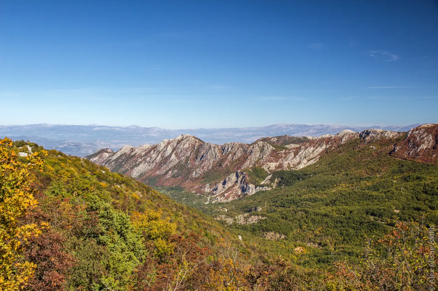
The starting point of the trail at the Sutorman pass.
A viewpoint 3.0 km from the start, near the highest sections of the trail.
The summit 3.2 km from the start; the highest point of the trail is at 1179 m a.s.l.
A viewpoint 3.9 km from the start, on the descent towards Sutomore.
The end point of the trail, with a car park and a bus station.
The trail is mostly rocky – use hiking boots with good soles.
Bring enough water, especially during the summer months.
Check the weather forecast before setting off and avoid the tour during thunderstorms.
Start early in the morning to avoid the hottest part of the day on the rocky terrain.
Due to the one-way nature of the trail, plan your return from Sutomore in advance.
At higher sections there may be fog and rapid weather changes. During thunderstorms avoid exposed ridges and summits. In case of an emergency call the emergency number 112.
Emergency number in Montenegro: 112.
Good to know
Best season
The best time to go is from late spring to early autumn, when the trails are generally passable. In summer an early start is recommended on the rocky sections.
Getting there
The start of the trail is at the Sutorman pass (805 m a.s.l.). The nearest place to the start is Sutomore, approximately 4.4 km away; at the end of the trail in Sutomore there is a car park and a bus station.
The trail is 9.3 km long and runs in one direction.
The estimated duration without breaks is 4 h 40 min.
The difficulty is moderate, according to the SAC scale T2. The trail has 366 m of ascent and 1132 m of descent, with 60% rocky terrain.
Yes, the trail is marked with red-and-white hiking markers.
Hiking · Sutomore
Hiking · Sutomore

Cycling · Ada Bojana · Lake Skadar
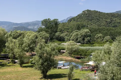
Cycling · Topolica Beach · Lake Skadar
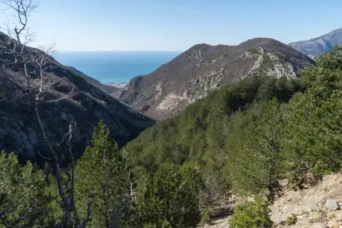
Hiking · Utjeha
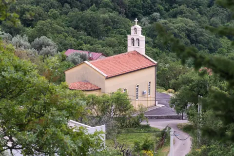
Hiking · Sutomore
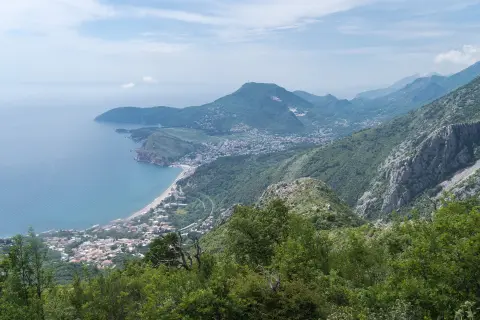
Hiking · Ratac
Hiking · Haj-Nehaj Fortress
Times and grades are estimates. Conditions change: check the weather and local information before you set out. Map and data sources →

