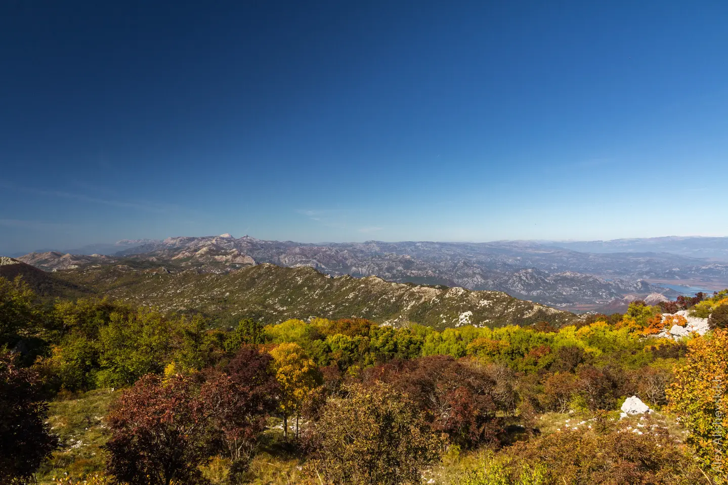
Demanding one-way hiking trail of 17,0 km via Mala Vrsuta, Sutorman Pass and Vrsuta peak.
Partisan Trail is a demanding one-way hiking trail 17,0 km long. It leads from near Sutomore via Mala Vrsuta, Sutorman Pass and Vrsuta peak, with 847 m of ascent and 1345 m of descent.
Partisan Trail is a one-way hiking trail 17,0 km long. Total ascent is 847 m and total descent 1345 m. The lowest point is at 543 m a.s.l., the highest at 1179 m a.s.l. Estimated walking time without breaks is 7 h 40 min. The start is closest to Sutomore, about 3,2 km from that place.
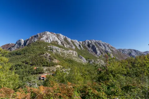
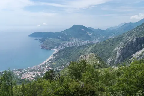
The trail is mostly unpaved and forest (70%), with rocky sections (20%) and minor asphalt/concrete passages (9%). At the start you quickly reach viewpoints at 911 m and 903 m a.s.l. and the Mala Vrsuta peak (885 m a.s.l.), all about 1,4–1,6 km from the start. At 4,9 km from the start there is a drinking water fountain at 611 m a.s.l.
Further on, the trail leads over a viewpoint at 787 m a.s.l. (10,5 km) and Sutorman Pass (805 m a.s.l., 10,7 km), then climbs towards Vrsuta peak (1183 m a.s.l., 13,9 km). Along that part there is also a viewpoint at 1162 m a.s.l. (13,7 km). The final part descends; the start and end are not in the same place.
The trail is demanding and rated T2 on the SAC scale. It is intended for hikers prepared for a full-day outing, with appropriate footwear and enough water.
What this difficulty means
Steep, rocky or exposed passages and a long day out. For fit, sure-footed hikers with mountain experience.
Mountain hiking grade SAC T2 (scale T1–T6).
Places on this route
Move along the profile to follow the route on the map; switch on 3D for the terrain.
↑ 847 m · ↓ 1,345 m · highest point 1,179 m
Along the way
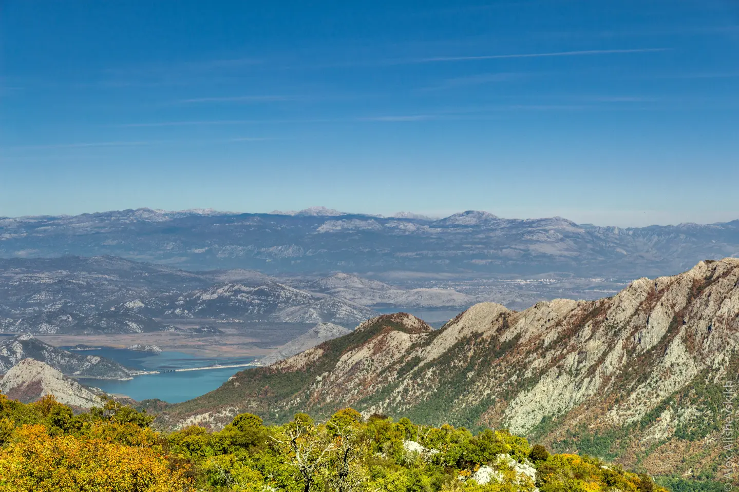
A pass at 805 m a.s.l. at 10,7 km from the start, with a viewpoint at 787 m a.s.l. at 10,5 km.
Mala Vrsuta peak (885 m a.s.l.) at 1,6 km from the start, with viewpoints at 911 m and 903 m a.s.l. in the immediate vicinity.
At 4,9 km from the start, at 611 m a.s.l., there is a drinking water fountain. Nevertheless, bring enough water.
A peak at 1183 m a.s.l. at 13,9 km from the start, with a viewpoint at 1162 m a.s.l. at 13,7 km.
Bring enough water; there is a drinking water fountain at 4,9 km from the start, but do not rely only on it.
Wear sturdy hiking footwear because of the rocky sections (20% of the trail).
Start early in the morning; estimated duration without breaks is 7 h 40 min, and the trail is not circular.
Organize transport or return in advance because the start and end are not in the same place.
Check the weather forecast for higher areas; fog and thunderstorms can affect safety.
Follow the hiking waymarks and bring a charged phone or GPS device.
On higher parts of the trail, fog, rocky terrain and changeable mountain conditions are possible. Follow the waymarks and do not leave the trail. In case of accident, call 112.
Emergency number in Montenegro: 112.
Good to know
Best season
The best period for this tour is from spring to autumn. In winter, on sections above 1100 m there may be snow and ice, and in summer it is important to start early due to heat.
Getting there
The easiest way to the start of the trail is from Sutomore; the start is about 3,2 km from Sutomore. Nearby are Ratac, Haj-Nehaj Fortress and Crvena plaža.
The trail is 17,0 km long and leads in one direction.
Estimated walking time without breaks is 7 h 40 min.
The trail is demanding and according to the SAC scale has a T2 rating, so it is recommended for better prepared hikers.
The closest place to the trailhead is Sutomore, about 3.2 km from the start.
3.2 km↑ 371 m1½–2 h
9.3 km↑ 366 m4–5½ h

148 km↑ 2,604 m2–3 days
34.0 km↑ 832 m2½–3½ h
4.1 km↑ 87 m1½–2½ h
30.2 km↑ 1,491 m2–3 days
5.9 km↑ 70 m2–2½ h
9.2 km↑ 253 m3–4½ h
Times and grades are estimates. Conditions change: check the weather and local information before you set out.

Ask about Montenegro
Ask me about destinations, restaurants or activities.
